Conata Township in Wall in Pennington County, South Dakota — The American Midwest (Upper Plains)
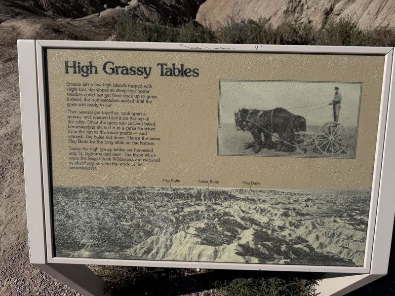
High Grassy Tables
Photographed by David Rozzelle, September 15, 2026
1. High Grassy Tables Marker
High Grassy Tables
Erosion left a few high islands topped with virgin sod, the slopes so steep that homesteaders could not get their stock up to graze. Instead, the homesteaders waited until the grass was ready to cut.
Then several got together, took apart a mower, and reassembled it on the top of the table. Once the grass was cut and baled, homesteaders hitched it to a cable stretched from the rim to the lower prairie - and whoosh, the bales slid down. Hence the name Hay Butte for the long table on the horizon.
Today the high grassy tables are harvested only by bighorns and deer. The bison which roam the Sage Creek Wildemess are excluded as effectively as were the stock of the homesteader.
Topics. This historical marker is listed in these topic lists: Agriculture • Animals • Natural Features • Settlements & Settlers.
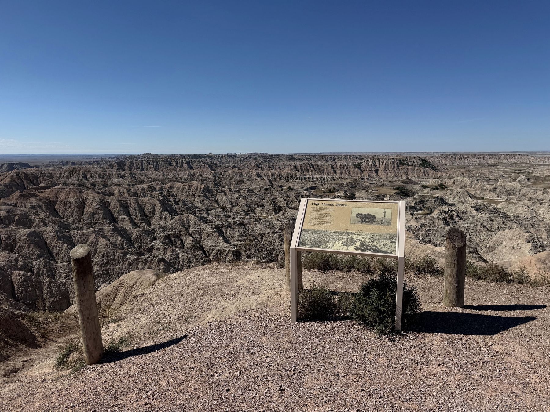
Location. 43° 52.53′ N, 102° 15.351′ W. Marker is in Wall, South Dakota, in Pennington County. It is in Conata Township. It is on Sagecreek Rim Road, on the right when traveling east. Located at the Hay Butte Overlook. Touch for map.
this page online

Regionally, this marker is in West River, in the Badlands, and in Greater Rapid City. It is also in the American Lewis & Clark Corridor, on the prairies, and on the Northern Plains. Globally, it is in North America, the Western Hemisphere, the Western World, and the Anglosphere. Historically, it finds itself in what was once Rupert’s Land and also the Louisiana Purchase.
Other nearby markers. At least 8 other markers are within 9 miles of this marker, measured as the crow flies: Born of Volcanos (approx. 1.1 miles away); The Big Badlands (approx. 1.2 miles away); Jungle on a Seabed (approx. 3.8 miles away); Mako sica/Les mauvaises terres/The Badlands (approx. 4.4 miles away); Homesteads and Ranches (approx. 5½ miles away); High Security (approx. 6.2 miles away); St. Patrick's Parish Bell Tower (approx. 8 miles away); Veterans Memorial (approx. 8.2 miles away). Touch for a list and map of all markers in Wall.
Photographed by David Rozzelle, September 15, 2026
2. High Grassy Tables Marker in context
Credits. This page was last revised on October 13, 2026. It was originally submitted on October 6, 2026, by David Rozzelle of Knoxville, Tennessee. This page has been viewed 6 times since then. Photos: 1, 2. submitted on October 6, 2026, by David Rozzelle of Knoxville, Tennessee. • Andrew Ruppenstein was the editor who published this page.
