Maquon in Knox County, Illinois — The American Midwest (Great Lakes)
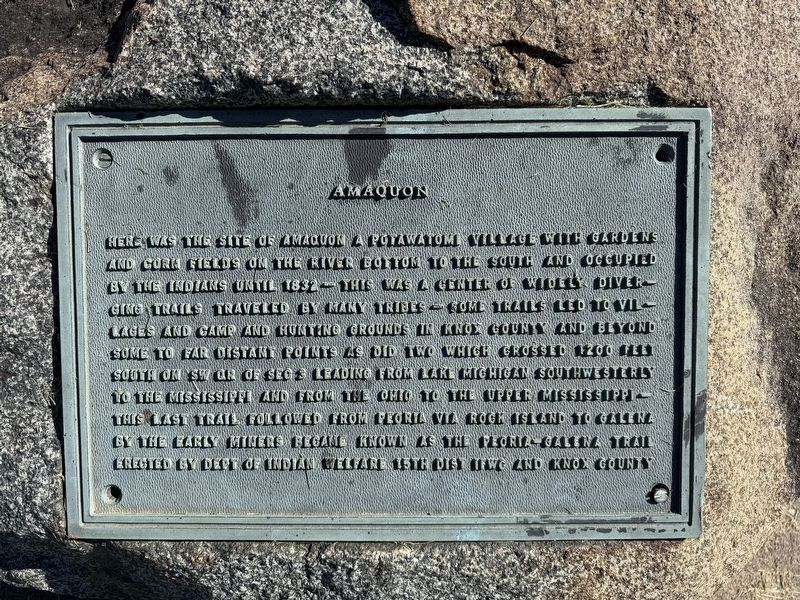
Amaquon
Photographed by Matthew Stevens, October 4, 2026
1. Amaquon Marker
Here was the site of Amaquon a Potawatomi village with gardens and corn fields on the river bottom to the south and occupied by the Indians until 1832 – This was a center of widely diverging trails traveled by many tribes – Some trails led to villages and camp and hunting grounds in Knox County and beyond some to the far distant points as did two which crossed 1200 feet south on SW QR of Sec 3 Leading from Lake Michigan southwesterly to the Mississippi and from the Ohio to the Upper Mississippi – This last trail followed from Peoria via Rock Island to Galena by the early miners became known as the Peoria-Galena Trail
Erected 1939 by the Department of Indian Welfare 15th District IFWG and Knox County.
Topics. This historical marker is listed in these topic lists: Agriculture • Indigenous Peoples and Communities • Settlements & Settlers. A significant historical year for this entry is 1832.
Location. 40° 47.885′ N, 90° 9.897′ W. Marker is in Maquon, Illinois, in Knox County. It is on Main Street (Illinois Route 97) north of 4th Street, in the median. Touch for map. Marker is at or near this postal address:
this page online

Regionally, this marker is in Central Illinois. It is also in the American Midwest and in the Corn Belt. Globally, it is in North America, the Western Hemisphere, the Western World, and the Anglosphere. Historically, it finds itself in what was once the territory of the Mississippian Culture and also the Northwest Territory.
Other nearby markers. At least 8 other markers are within 10 miles of this marker, measured as the crow flies: Pottawattomie Corn Mill (here, next to this marker); The Indian Trails (approx. 9.8 miles away); John G. Sanburn (approx. 9.8 miles away); Old Court House (approx. 9.8 miles away); Knoxville Honor Roll (approx. 9.9 miles away); The "Old Courthouse" (approx. 9.9 miles away); Knox Township World War I Memorial (approx. 9.9 miles away); Hall of Records (approx. 9.9 miles away).
Also see . . . Village of Maquon - Indians and the Naming of Maquon. See this article from the Village of Maquon's website that details the indigenous history of Maquon. It also includes some information on this marker including an
Photographed by Matthew Stevens, October 4, 2026
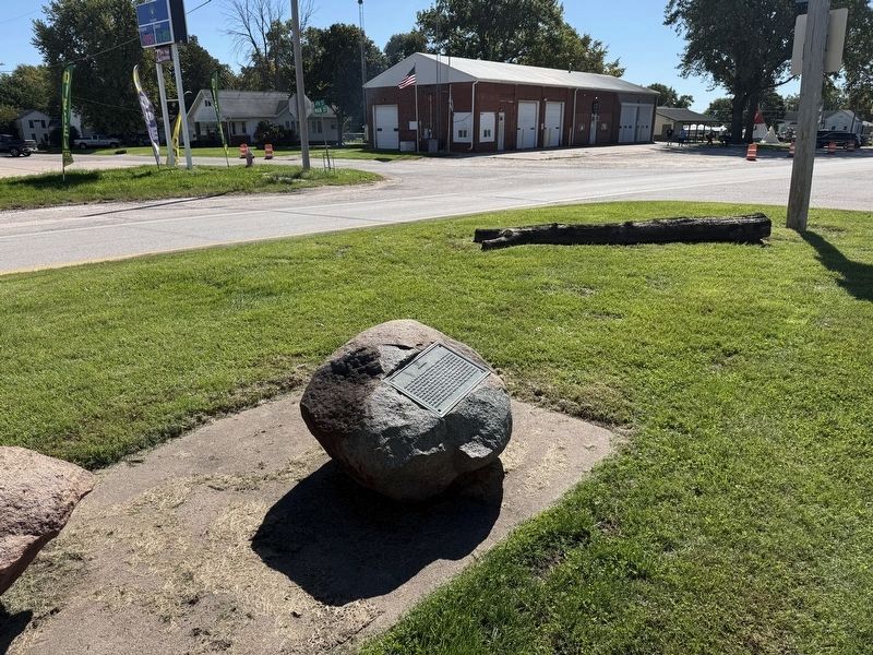
2. Amaquon Marker
The Maquon Fire Protection District building can be seen behind the marker in this photo
Excerpt: "Maquon has long been recognized as the location of an Indian Mound, south, and a little west of the village. Mrs. Elsie Hartsook told the writer, at the time of the dedication of the Indian Trail marker in 1939, that in the past, archeologists had done a limited amount of excavating in the mound, finding Indian burial evidence. This is not documented."(Submitted on October 8, 2026, by Matthew Stevens of Washington, Illinois.)
Photographed by Matthew Stevens, October 4, 2026
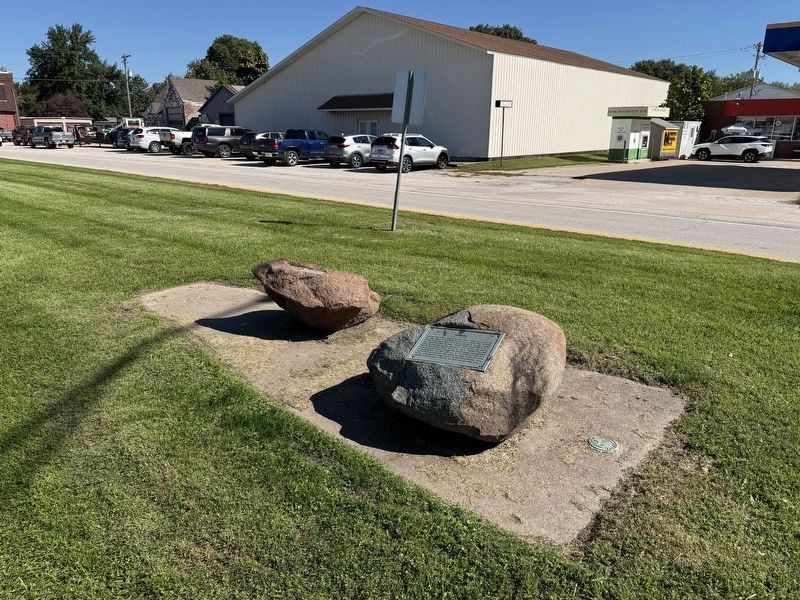
3. Amaquon Marker
Photographed by Matthew Stevens, October 4, 2026
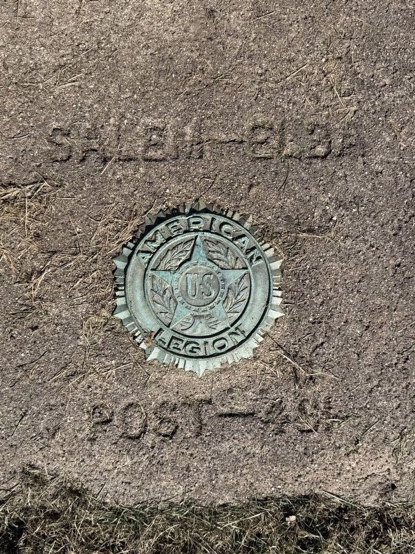
4. American Legion Engraving
This engraving is located next to the marker on the ground
Credits. This page was last revised on October 9, 2026. It was originally submitted on October 7, 2026, by Matthew Stevens of Washington, Illinois. This page has been viewed 15 times since then. Photos: 1, 2, 3, 4. submitted on October 7, 2026, by Matthew Stevens of Washington, Illinois. • Devry Becker Jones was the editor who published this page.
