Judson Township in Nicollet County, Minnesota — The American Midwest (Upper Plains)
Williams Cemetery
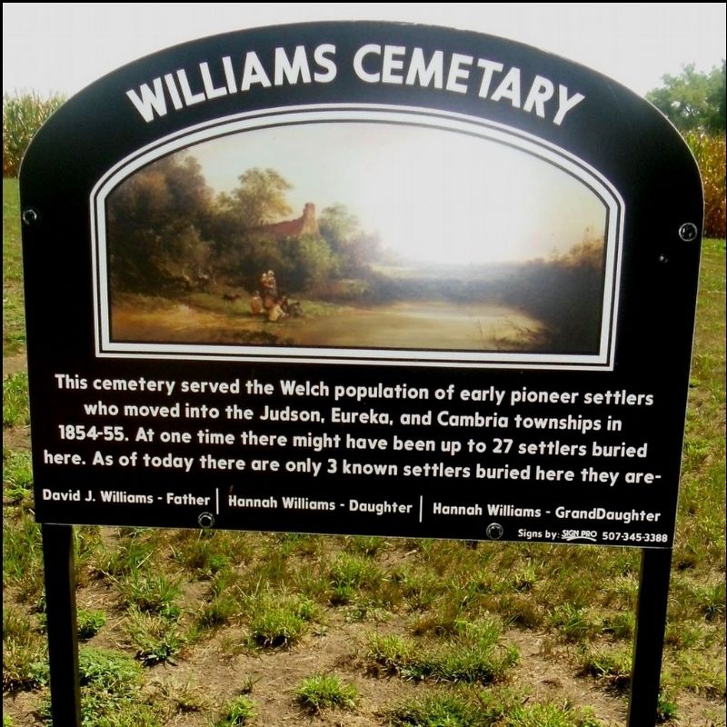
Photographed by Cameron Miller
1. Williams Cemetary Marker
Williams Cemetary
This cemetery served the Welch population of early pioneer settlers who moved into the Judson, Eureka and Cambria townships in 1854-55. At one time there might have been up to 27 settlers buried here. As of today there are only 3 known settlers buried here. They are -
David J. Williams - Father | Hannah Williams - Daughter | Hanna Williams - Granddaughter
Erected 2013 by Nathan Enter of Nicollet and Boy Scout Troop 29 of North Mankato.
Topics. This historical marker is listed in these topic lists: Cemeteries & Burial Sites • Immigration • Settlements & Settlers. A significant historical year for this entry is 1854.
Location. 44° 13.097′ N, 94° 13.201′ W. Marker is near Judson, Minnesota, in Nicollet County. It is in Judson Township. It is on 475th Avenue (County Road 62) north of 506th Street, on the right when traveling north. 475th Avenue (County Road 62) Nicollet, Minnesota 56021 United States Coordinates: 44.21944, -94.21110 Cemetery ID: 2511715. Touch for map. Marker is in this post office area: Courtland MN 56021, United States of America. Touch for directions.

Regionally,
this page online
Other nearby markers. At least 8 other markers are within 8 miles of this marker, measured as the crow flies: Welsh Churches (approx. 1½ miles away); Nicollet Veterans Memorial (approx. 4.2 miles away); Nicollet Village (approx. 4.2 miles away); Seppman Mill (approx. 6½ miles away); Granary (approx. 6½ miles away); The Turning Point (approx. 6½ miles away); Courtland (approx. 7 miles away); The Evacuation of New Ulm (approx. 7.2 miles away).
More about this marker. Near Swan Lake Wildlife Management Area (North Star Unit) and Agricultural land
Story of when erected by Boy Scouts: https://www.mankatofreepress.com/news/local_news/nicollet-teen-revives-forgotten-cemetery/article_4839da21-d0df-5570-b6a9-237b21a0d97f.html
Additional keywords. emigrated from Wales, Welsh
Credits. This page was last revised on October 13, 2026. It was originally submitted on October 8, 2026, by Cameron Miller of North Mankato, Minnesota. This page has been viewed 5 times since then. Photo 1. submitted on October 8, 2026, by Cameron Miller of North Mankato, Minnesota. • Andrew Ruppenstein was the editor who published this page.
