Astor in Lake County, Florida — The American South (South Atlantic)
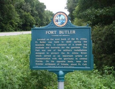
Fort Butler
Erected 1963 by Florida Board of Parks and Historic Memorials. (Marker Number F-93.)
Topics. This historical marker is listed in these topic lists: Forts and Castles • Wars, US Indian • Waterways & Vessels. A significant historical year for this entry is 1838.
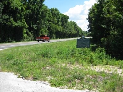
Location. 29° 9.855′ N, 81° 31.628′ W. Marker is in Astor, Florida, in Lake County. Marker is on State Road 40, 0.3 miles west of the Astor Bridge, on the right when traveling east. Marker is located on the side of Florida State Road 40 in Astor, a Census Designated Place in Lake County. Touch for map. Marker is in this post office area: Astor FL 32102, United States of America. Touch for directions.
Other nearby markers. At least 8 other markers are within 7 miles of this marker, measured as the crow flies. Astor: "The Jewel of the St. Johns River" (approx. ¼ mile away); Volusia (approx. half a mile away); William Bartram Trail (approx. half a mile away); Quarter's House (approx. 6.4 miles away); Convict Cage Wagon (approx. 6.4 miles away); Lewis Log Cabin (approx. 6.4 miles away); Midway Methodist Church (approx. 6.4 miles away); Huntington Post Office (approx. 6.4 miles away).
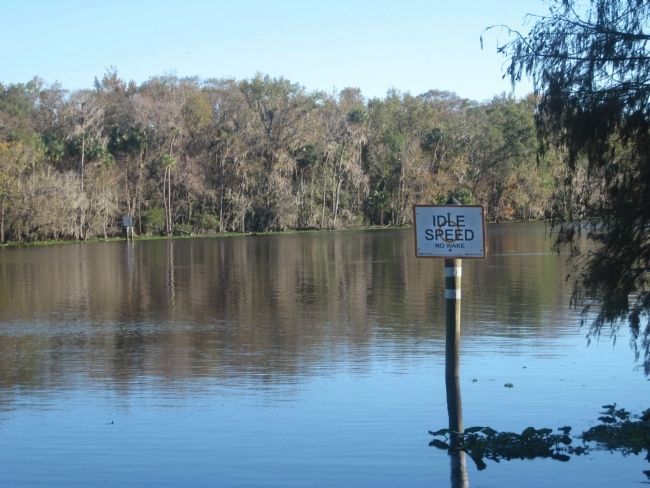
More about this marker. The marker is located to the west of Ft. Butler's actual location along the west bank of the St. Johns River.
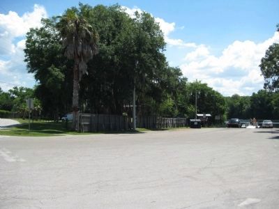
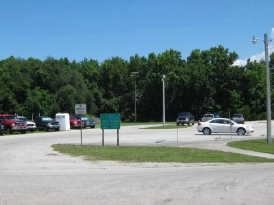
Regarding Fort Butler. The actual site of Ft. Butler is approximate to where the Butler Street Boat Ramp is today located. This is south of State Road 40, where Front Street turns into Butler Street.
Additional keywords. Ocala National Forest
Credits. This page was last revised on June 16, 2016. It was originally submitted on May 31, 2010, by Glenn Sheffield of Tampa, Florida. This page has been viewed 3,520 times since then and 165 times this year. Photos: 1. submitted on June 10, 2012, by Ray King of Jacksonville, Florida. 2, 3, 4, 5. submitted on May 31, 2010, by Glenn Sheffield of Tampa, Florida. • Craig Swain was the editor who published this page.
