Liverpool in Merseyside, England, United Kingdom — Northwestern Europe (the British Isles)
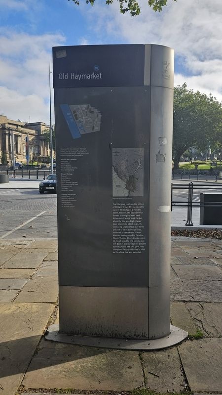
Old Haymarket
Photographed by Ian Lefkowitz, September 13, 2026
1. Old Haymarket Marker
(Captions)
Map showing the outline of the pool.
Shown on the map above are the major historic sites of Liverpool. You may want to visit those sites which relate to particular subjects that you are interested in.
Maritime and Commerce
Albert Dock • Albion House • Cunard Building • Port of Liverpool Building • Royal Liver Building
Arts and Heritage
Bluecoat • Central Library • Derby Square • Mersey Museum Liverpool • Philharmonic Hall & Hotel • St. George’s Hall • The Cavern • Walker Art Gallery
Learning and Religion
Chinese Arch • Liverpool Cathedral • Metropolitan Cathedral • Rodney Street • St. Luke’s Church • St. Nicholas’ Church
Topics. This historical marker is listed in these topic lists: Roads & Vehicles • Waterways & Vessels. A significant historical year for this entry is 1715.
Location. 53° 24.529′ N, 2° 58.989′ W. Marker is in Liverpool, England, in Merseyside. It is at the intersection of Old Haymarket and Victoria Street, on the right when traveling north on Old Haymarket. Touch for map. Marker is at or near this postal address: 5 Old Haymarket, Liverpool, England L3 8EN, United Kingdom. Touch for directions.

Regionally, this marker is in North West England. Globally, it is on the Atlantic Ocean,
this page online
Other nearby markers. At least 8 other markers are within walking distance of this marker: Hillsborough Disaster (within shouting distance of this marker); Queensway Tunnel (about 90 meters away, measured in a direct line); The Kings Liverpool Regiment Memorial (about 90 meters away); Thomas Major Lester (about 120 meters away); Liverpool Irish Guards Memorial (about 120 meters away); Liverpool 22nd (Cheshire) Regiment Memorial (about 120 meters away); Operation Banner - 1st Battalion Kings Regiment Memorial (about 120 meters away); Northern Ireland Roll of Honour (about 120 meters away). Touch for a list and map of all markers in Liverpool.
Photographed by Ian Lefkowitz, September 13, 2026
2. Old Haymarket Marker
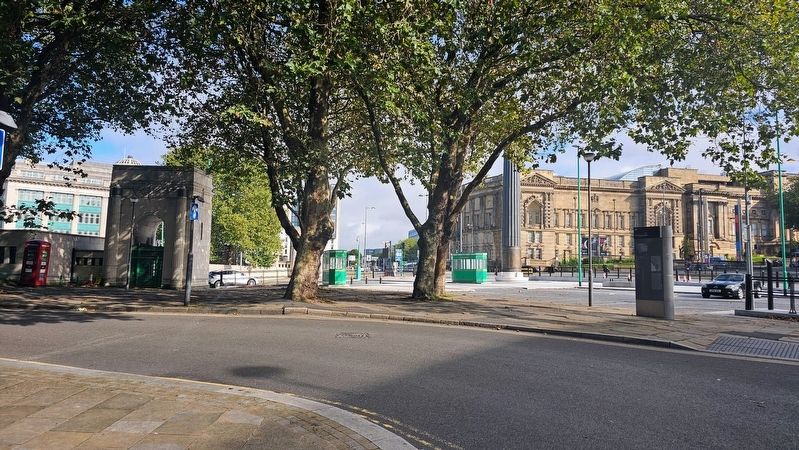
The wayfinding marker is located on the pedestrian plaza in front of the Queensway Tunnel.
Credits. This page was last revised on October 11, 2026. It was originally submitted on October 9, 2026, by Ian Lefkowitz of New York, New York. This page has been viewed 5 times since then. Photos: 1, 2. submitted on October 9, 2026, by Ian Lefkowitz of New York, New York. • Andrew Ruppenstein was the editor who published this page.
