York in York County, Maine — The American Northeast (New England)
Candlemas Massacre
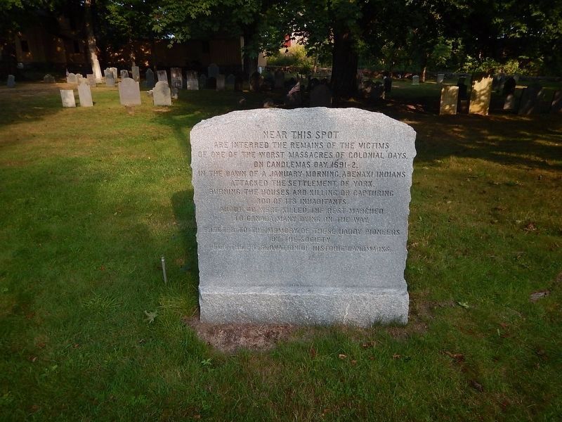
Photographed by Kevin Craft, August 28, 2026
1. Candlemas Massacre Marker
Of one of the worst massacres of colonial days.
On Candlemas day 1691-2,
In the dawn of a January morning, Abenaki Indians
Attacked the settlement of York,
Burning the houses and killing or capturing
300 of its inhabitants.
About 40 were killed, the rest marched
to Canada, many dying on the way.
Erected to the memory of these hardy pioneers
Erected by The Society for the Preservation of Historic Landmarks.
Topics. This historical marker is listed in these topic lists: Cemeteries & Burial Sites • Settlements & Settlers • Wars, US Indian. A significant historical date for this entry is January 24, 1692.
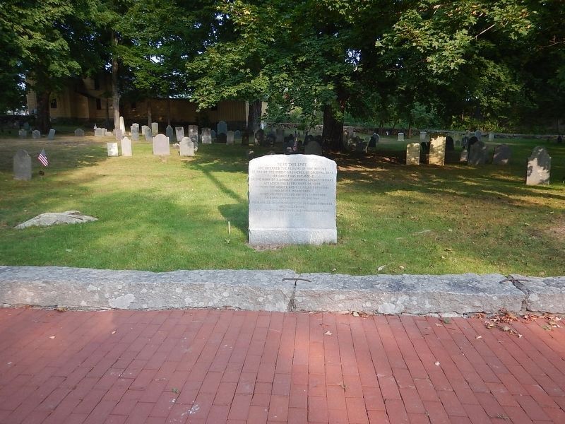
Location. 43° 8.638′ N, 70° 39.159′ W. Marker is in York, Maine, in York County. It is on Lindsay Road 0.1 miles south of York Street (U.S. 1A), on the left when traveling south. Marker is located in the Old Parish Cemetery. Touch for map. Marker is in this post office area: York ME 03909, United States of America. Touch for directions.

Regionally, this marker is on Southern Maine Coast. It is also in the American Northeast, in New England, and on the
this page online
Other nearby markers. At least 8 other markers are within one mile of this marker, measured as the crow flies: Historic York Then and Now (about 500 feet away, measured in a direct line); Sewall's Bridge (approx. 0.6 miles away); The History of Harbor Hill (approx. one mile away); Hartley Mason Reservation (approx. one mile away); The Marshall House / Sea Urchin Bathhouses / Stage Neck Island (approx. one mile away); Hartley Mason (approx. one mile away); York Village & Corner Fire Department (approx. one mile away); The Redshirts of York (approx. one mile away). Touch for a list and map of all markers in York.
Also see . . . Raid on York (1692) (Wikipedia). Overview:
The Raid on York (also known as the Candlemas Massacre) took place on 24 January 1692 during King William's War, when Chief Madockawando and Father Louis-Pierre Thury led 200-300 natives into the town of York (then in the District of Maine and part of the Province of Massachusetts Bay, now in the state of Maine),(Submitted on October 14, 2026.)killing about 100 of the English settlers and burning down buildings, taking another estimated 80 villagers hostage. The villagers were forced to walk to Canada, New France, where they were ransomed by Capt. John Alden Jr. of Boston (son of John Alden and Priscilla Mullins of the Plymouth Colony).…Photographed by Kevin Craft, August 28, 20262. Candlemas Massacre Marker
Additional keywords. King William’s War
Credits. This page was last revised on October 14, 2026. It was originally submitted on October 11, 2026, by Kevin Craft of Bedford, Quebec. This page has been viewed 12 times since then. Photos: 1, 2. submitted on October 11, 2026, by Kevin Craft of Bedford, Quebec. • Andrew Ruppenstein was the editor who published this page.
