Chester in Queen Anne's County, Maryland — The American Northeast (Mid-Atlantic)
Captain John Smith
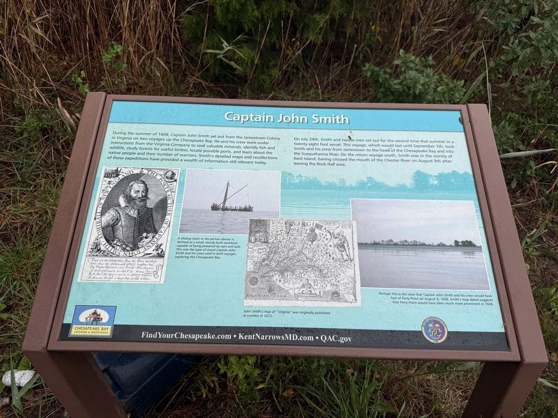
During the summer of 1608, Captain John Smith set out from the Jamestown Colony in Virginia on two voyages up the Chesapeake Bay. He and his crew were under instructions from the Virginia Company to seek valuable minerals, identify fish and wildlife, study forests for useful timber, locate possible ports, and learn about the native people and their number of warriors. Smith’s detailed maps and recollections of these expeditions have provided a wealth of information still relevant today.
On July 24th, Smith and twelve men set out for the second time that summer in a twenty-eight foot vessel. This voyage, which would last until September 7th, took Smith and his crew from Jamestown to the head of the Chesapeake Bay and into the Susquehanna River. On the return voyage south, Smith was in the vicinity of Kent Island, having crossed the mouth of the Chester River on August 9th after leaving the Rock Hall area.
[Captions:]
A shallop (seen in the picture above) is defined as a small, stoutly built workboat capable of being powered by oars and sails. This was the type of vessel Captain John Smith and his crew used in both voyages exploring the Chesapeake Bay.
John Smith’s map of "Virginia" was originally published in London in 1612.
Perhaps this is the view that Captain John Smith and his crew would have had of Ferry Point on August 9, 1608. Smith’s map detail suggests that Ferry Point would have been much more prominent in 1608.
Erected by Chesapeake
this page online
Topics. This historical marker is listed in these topic lists: Colonial Era • Exploration • Waterways & Vessels. A significant historical date for this entry is July 24, 1608.
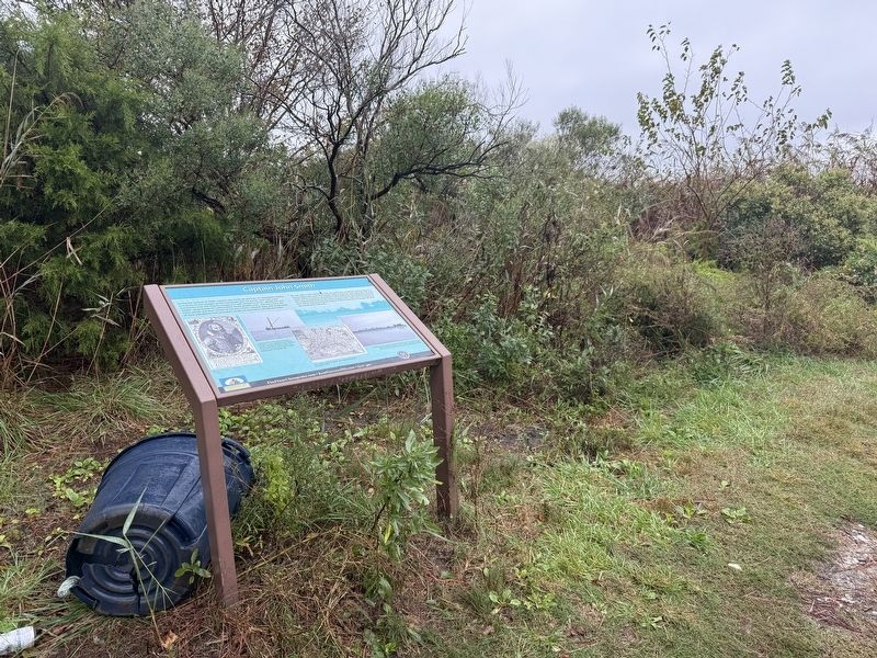
Location. 38° 58.839′ N, 76° 14.969′ W. Marker is in Chester, Maryland, in Queen Anne's County. It is on Swan Cove Lane 0.2 miles north of Ferry Point Park Boardwalk, on the left when traveling north. Touch for map. Marker is at or near this postal address: 600 Swan Cove Ln, Chester MD 21619, United States of America. Touch for directions.

Regionally, this marker is on the Eastern Shore. It is also in the American Mid-Atlantic, on the Delmarva Peninsula, in the Tidewater, in the Chesapeake Bay Region, and on the Eastern Seaboard. Globally, it is in the North Atlantic Region, North America, the Western Hemisphere, the Western World, and the Anglosphere. Historically, it finds itself in what was once one of the original Thirteen Colonies and also the Antebellum South.
Other nearby markers. At least 8 other markers are within 2 miles of this marker, measured as the crow flies: From Marsh to Working Waterway (approx. 0.3
Other markers no longer nearby. Maryland's Eastern Shore (was approx. 0.4 miles away but has been replaced with another marker now near it); Chesapeake Country National Scenic Byway (was approx. 0.4 miles away but has been confirmed missing); Byway Destinations (was approx. 0.4 miles away but has been confirmed missing); a different marker also named Byway Destinations (was approx. 0.4 miles away but has been confirmed missing).
Credits. This page was last revised on October 11, 2026. It was originally submitted on October 11, 2026, by Devry Becker Jones of Washington, District of Columbia. This page has been viewed 9 times since then. Photos: 1, 2. submitted on October 11, 2026, by Devry Becker Jones of Washington, District of Columbia.
