Shell Beach in Pismo Beach in San Luis Obispo County, California — The American West (Pacific Coastal)
Dinosaur Caves Park
Photographed by Adam Margolis, June 3, 2026
1. Dinosaur Caves Park Marker
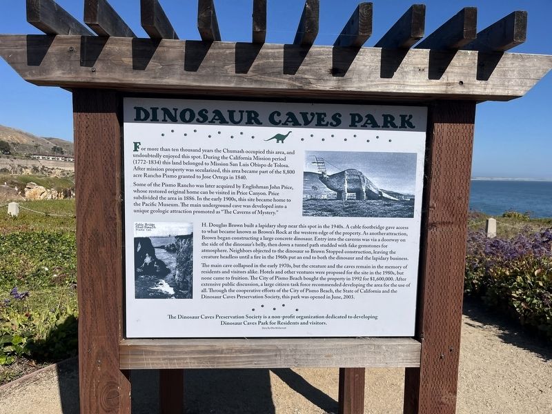
For more than ten thousand years the Chumash occupied this area, and undoubtedly enjoyed this spot. During the California Mission period (1772-1834) this land belonged to Mission San Luis Obispo de Tolosa. After mission property was secularized, this area became part of the 8,800 acre Rancho Pismo granted to Jose Ortega in 1840.
Some of the Pismo Rancho was later acquired by Englishman John Price, whose restored original home can be visited in Price Canyon. Price subdivided the area in 1886. In the early 1900s, this site became home to the Pacific Museum. The main underground cave was developed into a unique geologic attraction promoted as "The Caverns of Mystery." H. Douglas Brown built a lapidary shop near this spot in the 1940s. A cable footbridge gave access to what became known as Brown's Rock at the western edge of the property. As another attraction, Brown began constructing a large concrete dinosaur. Entry into the caverns was via a doorway on the side of the dinosaur's belly, then down a tunnel path studded with fake gemstones for atmosphere. Neighbors objected to the dinosaur so Brown Stopped construction,
this page online
The main cave collapsed in the early 1970s, but the creature and the caves remain in the memory of residents and visitors alike. Hotels and other ventures were proposed for the site in the 1980s, but none came to fruition. The City of Pismo Beach bought the property in 1992 for $1,600,000. After extensive public discussion, a large citizen task force recommended developing the area for the use of all. Through the cooperative efforts of the City of Pismo Beach, the State of California and the Dinosaur Caves Preservation Society, this park was opened in June, 2003.
Topics. This historical marker is listed in these topic lists: Charity & Public Work • Indigenous Peoples and Communities • Industry & Commerce • Parks & Recreational Areas. A significant historical month for this entry is June 2003.
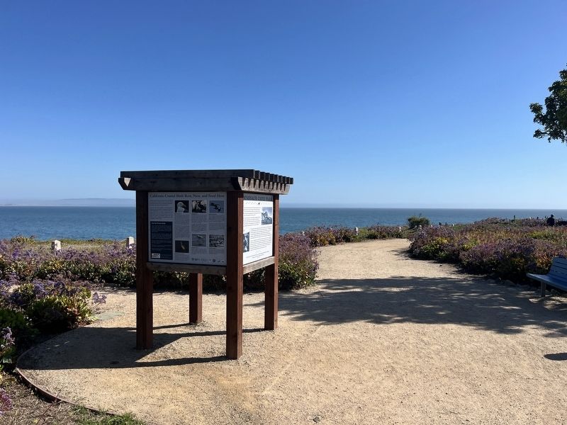
Location. 35° 9.191′ N, 120° 40.004′ W. Marker is in Pismo Beach, California, in San Luis Obispo County. It is in Shell Beach. It is on California Coastal Trail east of Cliff Avenue, on the right when traveling north. Touch for map.
Photographed by Adam Margolis, June 3, 2026
2. Dinosaur Caves Park Marker

Regionally, this marker is on the Central Coast and specifically on the Coast Ranges. It is also on the American Pacific Coast. Globally, it is in North America, on the Ring of Fire, on the Pacific Rim, in the Western Hemisphere, in the Western World, and in the Anglosphere. Historically, it finds itself in what was once New Spain and also Mexico’s Alta California.
Other nearby markers. At least 8 other markers are within 2 miles of this marker, measured as the crow flies: The History of Pismo Beach Wharf and Pier (approx. 1.6 miles away); History of Pismo Clams in California (approx. 1.6 miles away); Armed Forces Memorial (approx. 1.6 miles away); Pismo Beach Pier Plaza (approx. 1.7 miles away); Lt. Colonel Juan Bautista de Anza (approx. 1.8 miles away); Joe Rose Memorial Center (approx. 1.9 miles away); Mrs. Charis Lee Straw (approx. 2.1 miles away); Price Anniversary House (approx. 2.1 miles away). Touch for a list and map of all markers in Pismo Beach.
Photographed by Adam Margolis, June 3, 2026
3. Adjacent signage
Photographed by Adam Margolis, June 3, 2026
4. Additional adjacent signage
Credits. This page was last revised on October 15, 2026. It was originally submitted on October 14, 2026, by Adam Margolis of Mission Viejo, California. This page has been viewed 15 times since then. Photos: 1. submitted on October 14, 2026, by Adam Margolis of Mission Viejo, California. 2, 3, 4. submitted on October 15, 2026, by Adam Margolis of Mission Viejo, California. • Devry Becker Jones was the editor who published this page.
