Fort Sill in Lawton in Comanche County, Oklahoma — The American South (West South Central)
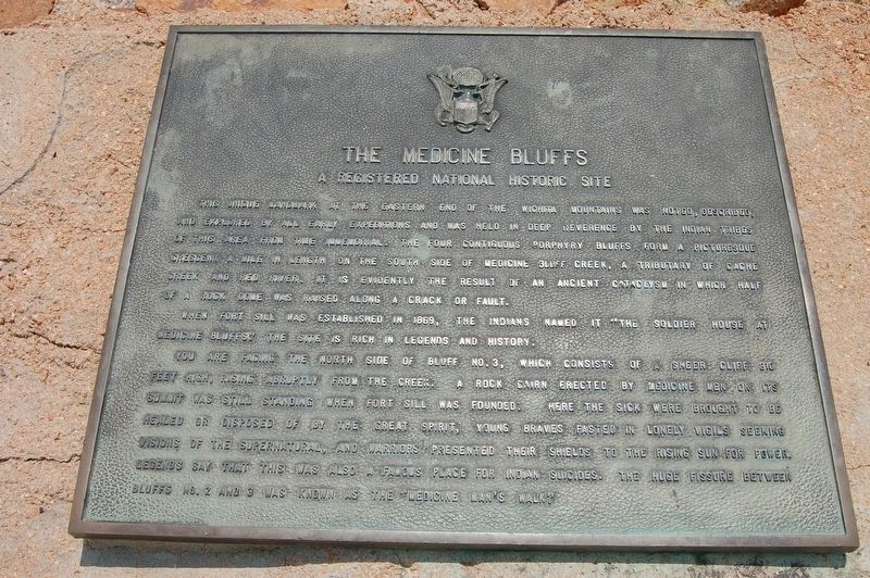
The Medicine Bluffs
A Registered National Historic Site
Photographed by Jeff Barnes, May 29, 2010
1. The Medicine Bluffs Marker
This unique landmark at the eastern end of the Wichita Mountains was noted, described, and explored by all early expeditions and was held in deep reverence by the Indian tribes of this area from time immemorial. The four contiguous porphyry bluffs form a picturesque crescent a mile in length on the south side of Medicine Bluff Creek, a tributary of Cache Creek and Red River. It is evidently the result of an ancient cataclysm in which half of a rock dome was raised along a crack or fault.
When Fort Sill was established in 1869, the Indians named it "The Soldier House at Medicine Bluffs." The site is rich in legends and history.
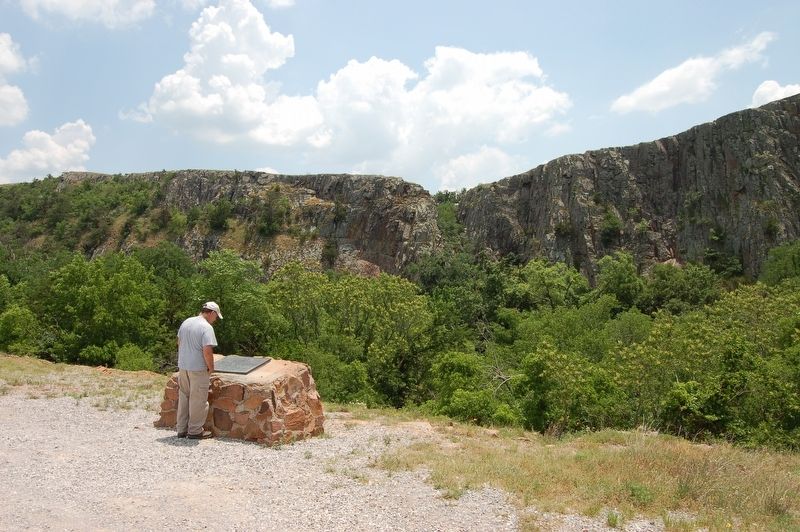
You are facing the north side of Bluff No. 3, which consists of a sheer cliff 310 feet high, rising abruptly from the creek. A rock cairn erected by medicine men on its summit was still standing when Fort Sill was founded. Here the sick were brought to be healed or disposed of by the Great Spirit, young braves fasted in lonely vigils seeking visions of the supernatural, and warriors presented their shields to the rising sun for power. Legends say that this was also a famous place for Indian
this page online
Topics. This historical marker is listed in these topic lists: Exploration • Indigenous Peoples and Communities • Wars, US Indian. A significant historical year for this entry is 1869.
Location. 34° 41.127′ N, 98° 24.922′ W. Marker is in Lawton, Oklahoma, in Comanche County. It is in Fort Sill. It can be reached from Chatto Road west of Punch Bowl Road, on the left when traveling west. Touch for map. Marker is in this post office area: Fort Sill OK 73503, United States of America. Touch for directions.

Regionally, this marker is in the Kiowa Tribe, in the Comanche Nation, and in Southwest Oklahoma—Great Plains Country. It is also in the American South, specifically on the prairies, and on the Southern Plains. Globally, it is in North America, the Western Hemisphere, the Western World, and the Anglosphere. Historically, it finds itself in what was once New Spain, the Comanchería, the territory of the Mississippian Culture, and the Louisiana Purchase.
Other nearby markers. At least 8 other markers are within 2 miles
Photographed by Jeff Barnes, May 29, 2010
2. The Medicine Bluffs Marker
Photographed by Jeff Barnes, May 29, 2010
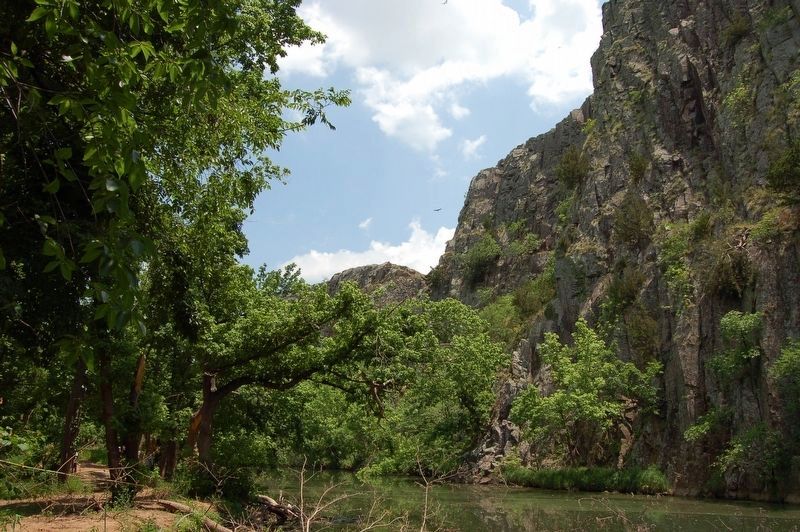
3. Medicine Creek at Medicine Bluffs
Credits. This page was last revised on October 16, 2026. It was originally submitted on October 16, 2026, by Jeff Barnes of Omaha, Nebraska. This page has been viewed 4 times since then. Photos: 1, 2, 3. submitted on October 16, 2026, by Jeff Barnes of Omaha, Nebraska. • Devry Becker Jones was the editor who published this page.
