Bar Harbor in Hancock County, Maine — The American Northeast (New England)
Sunken Garden
Photographed by Steve Stoessel, October 1, 2026
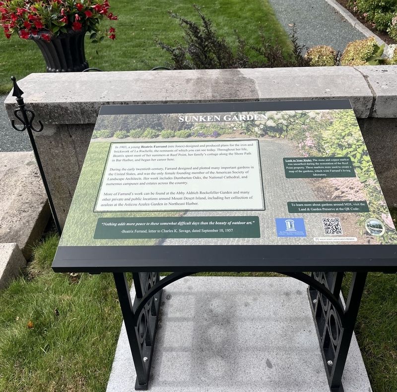
1. Sunken Garden Marker
During the early twentieth century, Farrand designed and plotted many important gardens in the United States, and was the only female founding member of the American Society of Landscape Architects. Her work includes Dumbarton Oaks, the National Cathedral, and numerous campuses and estates across the country.
More of Farrand's work can be found at the Abby Aldrich Rockefeller Garden and many other private and public locations around Mount Desert Island, including her collection of azaleas at the Asticou Azalea Garden in Northeast Harbor.
"Nothing adds more peace to these somewhat difficult days than the beauty of outdoor art."
-Beatrix Ferrand, letter to Charles K. Savage, dated September 10, 1957
[ Right Inset: ] Look to Your Right: The stone and copper marker was uncarthed during the restoration of the
this page online
To learn more about gardens around MDI, visit the Land & Garden Preserve at the QR Code:
Topics. This historical marker is listed in these topic lists: Parks & Recreational Areas • Women. A significant historical year for this entry is 1903.
Location. 44° 23.397′ N, 68° 12.833′ W. Marker is in Bar Harbor, Maine, in Hancock County. It can be reached from West Street west of Holland Avenue when traveling north. Touch for map. Marker is at or near this postal address: 127 West St, Bar Harbor ME 04609, United States of America. Touch for directions.

Regionally, this marker is on Mount Desert Island and in Downeast Maine. It is also in the American Northeast, in New England, and on the Eastern Seaboard. Globally, it is in the North Atlantic Region, North America, the Great North Woods, the Western Hemisphere, the Western World, and the Anglosphere. Historically, it finds itself in what was once the Viceroyalty of New France and also Acadia.
Other nearby markers. At least 8 other markers are within walking
Photographed by Steve Stoessel, October 1, 2026
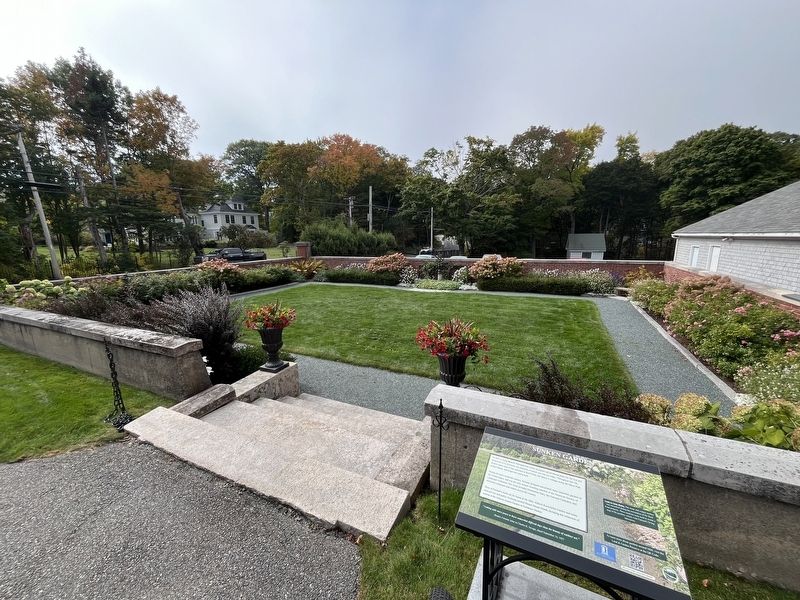
2. Sunken Garden Marker
Also see . . . Beatrix Farrand (Wikipedia). (Submitted on October 16, 2026, by Steve Stoessel of Niskayuna, New York.)
Photographed by Steve Stoessel, October 1, 2026
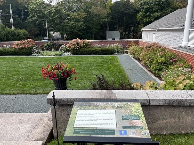
3. Sunken Garden Marker
Credits. This page was last revised on October 19, 2026. It was originally submitted on October 16, 2026, by Steve Stoessel of Niskayuna, New York. This page has been viewed 7 times since then. Photos: 1, 2, 3. submitted on October 16, 2026, by Steve Stoessel of Niskayuna, New York.
