Shakamak State Park in Jasonville in Greene County, Indiana — The American Midwest (Great Lakes)
The Lakes of Shakamak
Photographed by Shirley A Stirling, October 14, 2026
1. The Lakes of Shakamak Marker
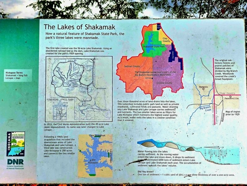
Now a natural feature of Shakamak State Park, the park's three lakes were manmade. The first lake created was the 56-acre Lake Shakamak. Using an abandoned railroad bed as the dam, Lake Shakamak was created for the park's 1929 opening.
The Shakamak watershed is part of the Big Branch-Headwaters Watershed. The original oak hickory forests and prairie patches of Shakamak were divided by Big Branch Creek. Woodlands covered the creek's broad floodplain.
In 1933, the Civil Works Administration built the 49-acre Lake Jason impoundment. Its name was later changed to Lake Lenape. Following a 1960s land acquisition that included the downstream areas of Lake Shakamak and Lake Lenape, a third lake was constructed. Lake Kickapoo is 290-acres and connects the two smaller lakes.
Over three thousand acres of land drains into the lakes.
This watershed includes public park land as well as private woodlands, cultivated fields and pastures. Water draining into Lake Shakamak and Lake Lenape carries sediment and nutrients. The two smaller lakes serve as filters for Lake Kickapoo which maintains the highest water quality. As a result,
this page online
Map of region prior to 1929
Water flowing into the lakes carries sediment. As the moving water enters the lake and slows down, it drops its sediment load estimated 6,000 tons of sediment enters Lake Lenape and Lake Shakamak each year. The accumulation of sediment reduces the lakes" volume.
Did You know?
One ton of sediment 1 cubic yard of dirt a one dime thickness of over a one-acre area.
Kickapoo Terms
Shakamak: long fish
Lenape: man
Erected by Indiana Department of Natural Resources.
Topics. This historical marker is listed in these topic lists: Charity & Public Work • Environment • Waterways & Vessels. A significant historical year for this entry is 1929.
Location. 39° 10.545′ N, 87° 14.744′ W. Marker is in Jasonville, Indiana, in Greene County. It is in Shakamak State Park. It is on Campground just east of Park Road, on the right when traveling east. Touch for map. Marker is at or near this postal address: 6265 West State Road 48, Jasonville IN 47438, United States of America. Touch for directions.

Regionally, this marker is in Southern Indiana.
Photographed by Shirley A Stirling, October 14, 2026
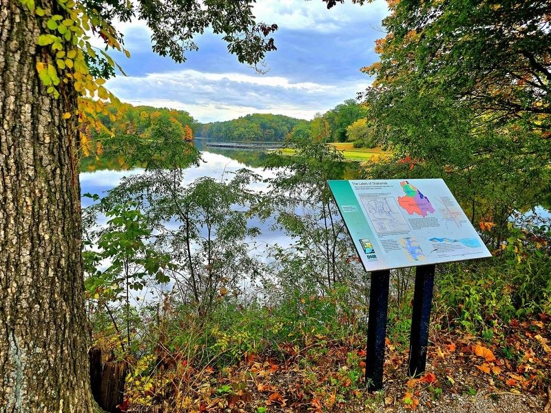
2. The Lakes of Shakamak Marker
Other nearby markers. At least 7 other markers are within 11 miles of this marker, measured as the crow flies: Indiana State Parks (about 400 feet away, measured in a direct line); VFW Post 6225/American Legion Post 722 War Memorial (approx. 2.2 miles away); Korean War and Vietnam War Veterans (approx. 10.4 miles away); Global War on Terrorism (approx. 10.4 miles away); World War I & World War I I Memorial (approx. 10.4 miles away); Sullivan Carnegie Library (approx. 10½ miles away); 1930 center of population (approx. 10.9 miles away).
Photographed by Shirley A Stirling, October 14, 2026
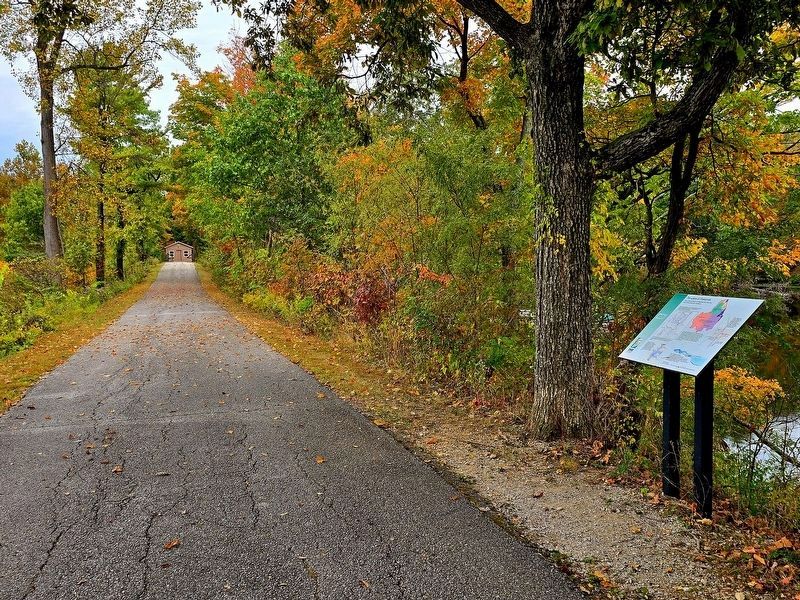
3. The marker is installed along the walk across the top of the dam.
Credits. This page was last revised on October 19, 2026. It was originally submitted on October 17, 2026, by Shirley A Stirling of Lacey, Washington. This page has been viewed 10 times since then. Photos: 1, 2, 3. submitted on October 17, 2026, by Shirley A Stirling of Lacey, Washington. • Devry Becker Jones was the editor who published this page.
