Hyde Park in Chicago in Cook County, Illinois — The American Midwest (Great Lakes)
Jackson Park
Photographed by Sean P. Flynn, October 17, 2026
1. Jackson Park Marker
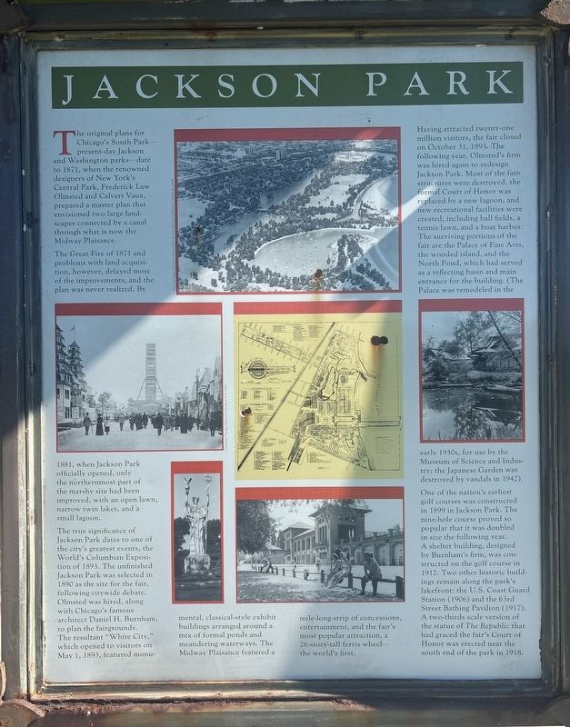
The Great Fire of 1871 and problems with land acquisition, however, delayed most of the improvements, and the plan was never realized. By 1881, when Jackson Park officially opened, only the northernmost part of the marshy site had been improved, with an open lawn, narrow twin lakes, and a small lagoon.
The true significance of Jackson Park dates to one of the city's greatest events, the World's Columbian Exposition of 1893. The unfinished Jackson Park was selected in 1890 as the site for the fair, following citywide debate. Olmsted was hired, along with Chicago's famous architect Daniel H. Burnham, to plan the fairgrounds. The resultant "White City," which opened to visitors on May 1, 1893, featured monumental, classical-style exhibit buildings arranged around a mix of formal ponds and meandering waterways.
this page online
Having attracted twenty-one million visitors, the fair closed on October 31, 1893. The following year, Olmsted's firm was hired again to redesign Jackson Park. Most of the fair structures were destroyed, the formal Court of Honor was replaced by a new lagoon, and new recreational facilities were created, including ball fields, a tennis lawn, and a boat harbor. The surviving portions of the fair are the Palace of Fine Arts, the wooded island, and the North Pond, which had served as a reflecting basin and main entrance for the building. (The Palace was remodeled in the early 1930s, for use by the Museum of Science and Industry; the Japanese Garden was destroyed by vandals in 1942).
One of the nation's earliest golf courses was constructed in 1899 in Jackson Park. The nine-hole course proved so popular that it was doubled in size the following year. A shelter building, designed by Burnham's firm, was con-structed on the golf course in 1912. Two other historic buildings
Photographed by Sean P. Flynn, October 17, 2026
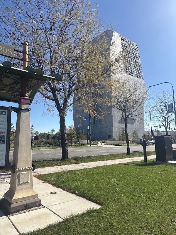
2. Jackson Park Marker across the street from the Obama Presidential Center
Erected 1995 by City of Chicago.
Topics and series. This historical marker is listed in these topic lists: Architecture • Notable Events • Parks & Recreational Areas • Settlements & Settlers. In addition, it is included in the The Great Chicago Fire of 1871 series list. A significant historical year for this entry is 1881.
Location. 41° 47.222′ N, 87° 35.208′ W. Marker is in Chicago, Illinois, in Cook County. It is in Hyde Park. It is on Stony Island Avenue south of Midway Plaisance North, on the right when traveling south. Touch for map. Marker is in this post office area: Chicago IL 60637, United States of America. Touch for directions.

Regionally, this marker is on Chicago’s South Side. It is also in the American Midwest. Globally, it is in North America, on the Great Lakes, in the Western Hemisphere, in the Western World, and in the Anglosphere.
Photographed by Sean P. Flynn, October 17, 2026
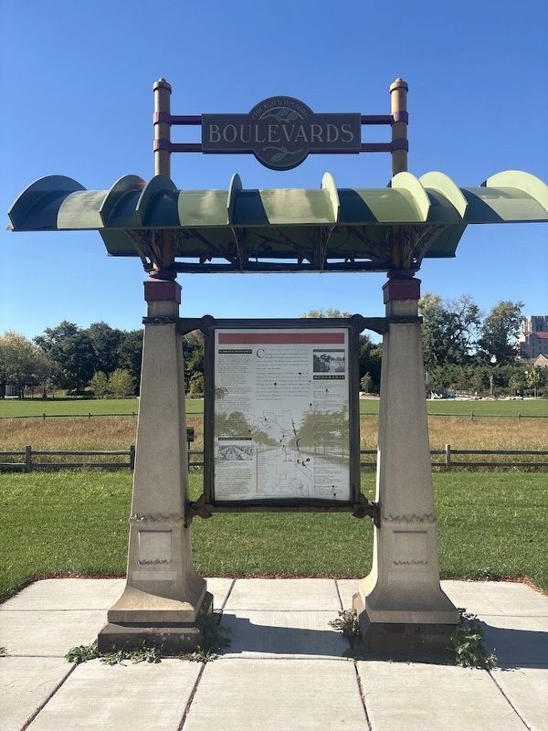
3. Boulevard System marker on the rear of the Jackson Park marker
Other nearby markers. At least 8 other markers are within walking distance of this marker: The Boulevard System (here, next to this marker); Remembering Lori Healey (1959-2025) (within shouting distance of this marker); Julie Mehretu, b. 1970 (about 300 feet away, measured in a direct line); Acknowledging Indigenous Peoples' Land and Territory (about 400 feet away); History of Jackson Park (about 400 feet away); Cheney-Goode Memorial (about 400 feet away); a different marker also named Cheney-Goode Memorial (about 400 feet away); Alison Saar, b. 1956 (about 400 feet away). Touch for a list and map of all markers in Chicago.
More about this marker. The front (Stony Island Avenue-facing) side of the canopy has a marker about Chicago's Boulevard System. This marker and the one on its rear are part of a series of markers erected across Chicago in 1995, typically at locations where the city's grand boulevards enter into Chicago parks.
The marker sits in a kiosk across the street from the Obama Presidential Center, which opened in Jackson Park in 2026.
Credits. This page was last revised on October 17, 2026. It was originally submitted on October 17, 2026, by Sean P. Flynn of Oak Park, Illinois. This page has been viewed 10 times since then. Photos: 1, 2, 3. submitted on October 17, 2026, by Sean P. Flynn of Oak Park, Illinois.
