Downtown in Columbus in Franklin County, Ohio — The American Midwest (Great Lakes)
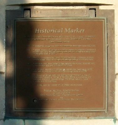
Scioto River Historical Marker
On this site, the Scioto River has been spanned by at least six bridges, all of which have been important to the growth of Columbus, Ohio's state capital.
1816 • A wooden toll bridge was built by Franklinton developer Lucas Sullivant.
1826 • A second wooden toll bridge was built to replace the original. Constructed by Sullivant's son, William Starling Sullivant, this bridge was swept away in “the great flood of 1832.”
1834 • The U.S. Government built the first toll-free bridge, a two-span wooden covered bridge, which was larger and stronger than previous structures.
1883 • A two-span, steel truss design bridge replaced the wooden structure, until it was severely damaged during the 1913 flood.
1921 • A seven-span concrete arch bridge was constructed. Carrying six traffic lanes and two pedestrian walkways, the bridge stood until 1990.
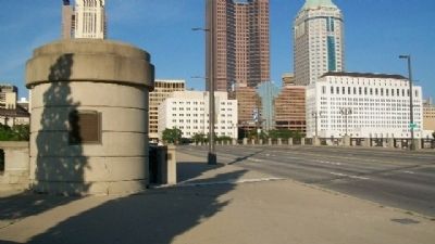
1992 • The Discovery Bridge, dedicated during the quincentennial year of Christopher Columbus' voyage to the New World, is a five-span, post tensioned reinforced concrete bridge. The bridge carries six lanes of traffic and two sidewalks. It will serve the citizens of Columbus into the future.
Erected by Federal Highway Administration, Ohio State Historical Preservation Office, and Advisory Council on Historic Preservation.
Topics. This historical marker is listed in these topic lists: Bridges & Viaducts • Government & Politics • Industry & Commerce • Man-Made Features • Notable Events. A significant historical year for this entry is 1816.
Location. 39° 57.7′ N, 83° 0.392′ W. Marker is in Columbus, Ohio, in Franklin County. It is in Downtown. Marker is on Broad Street (U.S. 40). Touch for map. Marker is in this post office area: Columbus OH 43215, United States of America. Touch for directions.
Other nearby markers. At least 8 other markers are within walking distance of this marker. Celebration of Life (a few steps from this marker); World War Memorial Bridge (within shouting distance of this marker); Memorial Bridge (within shouting distance of this marker); Central High School (within shouting distance of this marker); Broad Street Bridge (within shouting distance of this marker); Memorial Grove (about 600 feet away, measured in a direct line); Purple Heart Memorial (about 600 feet away); Evolution Of The Sioto River (about 600 feet away). Touch for a list and map of all markers in Columbus.
Credits. This page was last revised on February 3, 2023. It was originally submitted on June 1, 2010, by William Fischer, Jr. of Scranton, Pennsylvania. This page has been viewed 834 times since then and 23 times this year. Photos: 1, 2, 3. submitted on August 1, 2010, by William Fischer, Jr. of Scranton, Pennsylvania.


