Bandelier National Monument in Los Alamos County, New Mexico — The American Mountains (Southwest)
The Role of Fire
| — | Bandelier National Monument | — |
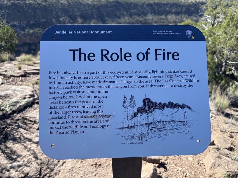
Photographed by Benjamin Rubin, October 16, 2026
1. The Role of Fire Marker
Erected by National Park Service, U.S. Department of the Interior.
Topics. This historical marker is listed in these topic lists: Environment • Parks & Recreational Areas. A significant historical year for this entry is 2011.
Location. 35° 47.179′ N, 106° 16.662′ W. Marker is in Bandelier National Monument, New Mexico, in Los Alamos County. It can be reached from no nearby street. Located on the Tyuonyi Overlook trail in Bandelier National Monument. Touch for map. Marker is in this post office area:
this page online

Regionally, this marker is in Northern New Mexico. It is also in the American Southwest. Globally, it is in North America, the Rocky Mountains, the Western Hemisphere, the Western World, and the Anglosphere. Historically, it finds itself in what was once New Spain and also the territory of the Ancestral Puebloans.
Other nearby markers. At least 8 other markers are within 7 miles of this marker, measured as the crow flies: Sacred Spaces (within shouting distance of this marker); Plants (about 500 feet away, measured in a direct line); Tyuonyi Overlook (about 500 feet away); Houses (approx. ¼ mile away); A Living Legacy (approx. 0.7 miles away); A Lasting Legacy (approx. 0.7 miles away); Los Alamos (approx. 6.3 miles away); Los Alamos Project Main Gate Park (approx. 6.3 miles away). Touch for a list and map of all markers in Bandelier National Monument.
Credits. This page was last revised on November 6, 2026. It was originally submitted on October 18, 2026, by Benjamin Rubin of Columbia, South Carolina. This page has been viewed 14 times since then. Photo 1. submitted on October 18, 2026, by Benjamin Rubin of Columbia, South Carolina. • Andrew Ruppenstein was the editor who published this page.
