Douglas in Converse County, Wyoming — The American West (Mountains)
Ayres Natural Bridge
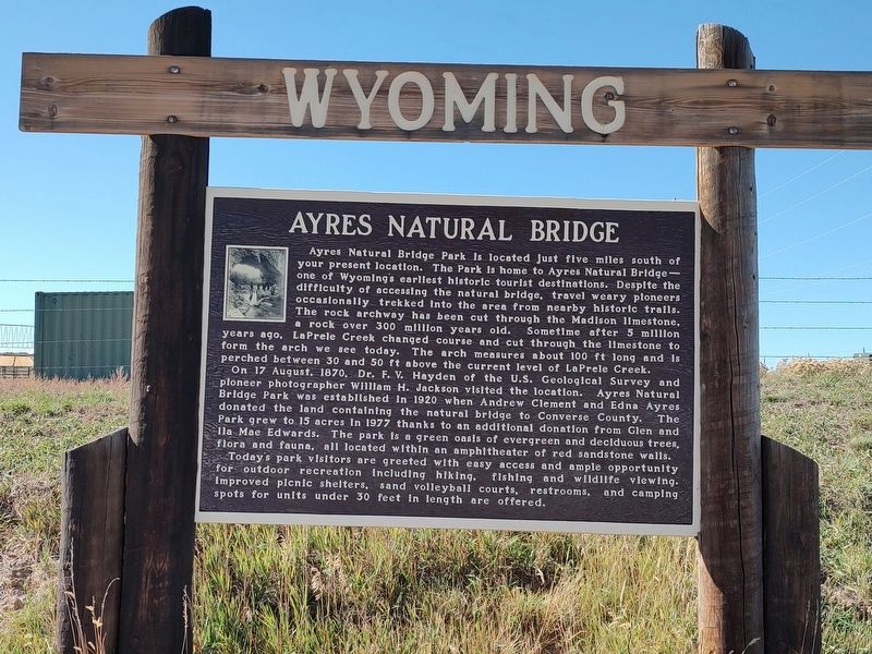
Photographed by Jimmy Emerson, October 16, 2026
1. Ayres Natural Bridge Marker
this page online
Topics. This historical marker is listed in these topic lists: Exploration • Natural Features • Parks & Recreational Areas. A significant historical year for this entry is 1870.
Location. 42° 47.657′ N, 105° 36.842′ W. Marker is in Douglas, Wyoming, in Converse County. It is on Natural Bridge Road near I 25, on the right when traveling south. Touch for map. Marker is at or near this postal address: 49 Natural Bridge Road, Douglas WY 82633, United States of America. Touch for directions.

Regionally, this marker is in the Westward Expansion Trails Region and in the Powder River Basin. It is also in the American Mountain West, on the Great Plains, and specifically on the High Plains. Globally, it is in North America, the Western Hemisphere, the Western World, and the Anglosphere.
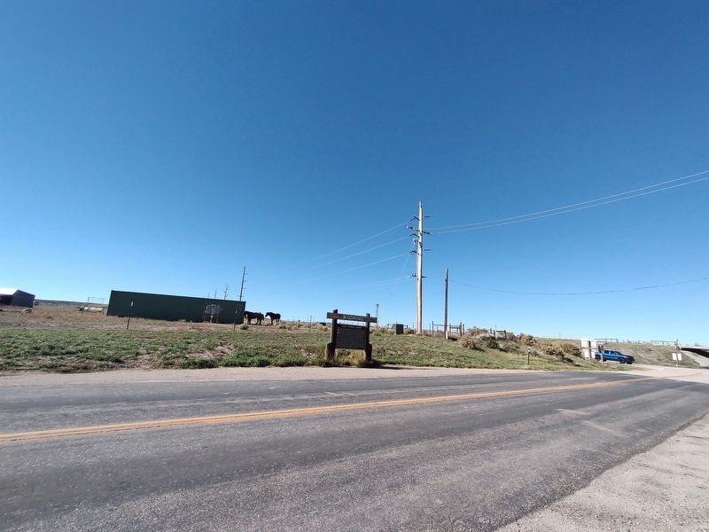
Photographed by Jimmy Emerson, October 16, 2026
2. Ayres Natural Bridge Marker
Other nearby markers. At least 8 other markers are within 8 miles of this marker, measured as the crow flies: Ayres Natural Bridge Park (here, next to this marker); Sharp, Franklin and Taylor, (approx. 1.1 miles away); Oregon Trail (approx. 2.4 miles away); Natural Bridge and the Oregon Trail (approx. 4.1 miles away); Formation of Ayres Natural Bridge (approx. 4.1 miles away); a different marker also named The Oregon Trail (approx. 7.1 miles away); Bill Hooker (approx. 7.1 miles away); Fort Fetterman (approx. 7.3 miles away). Touch for a list and map of all markers in Douglas.
More about this marker. Replaced a previous marker entitled "Ayres Natural Bridge Park".
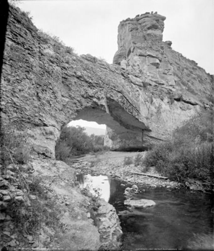
Photographed by William Henry Jackson, Detroit Photograhic Co. (courtesy History Colorado)
3. Ayres Natural Bridge
Credits. This page was last revised on November 1, 2026. It was originally submitted on October 18, 2026, by Jimmy Emerson of Dalton, Georgia. This page has been viewed 12 times since then. Photos: 1, 2. submitted on October 18, 2026, by Jimmy Emerson of Dalton, Georgia. 3. submitted on November 1, 2026. • Andrew Ruppenstein was the editor who published this page.
