Near Roachdale in Putnam County, Indiana — The American Midwest (Great Lakes)
Cornstalk Bridge
Photographed by Trevor L Whited, October 18, 2026
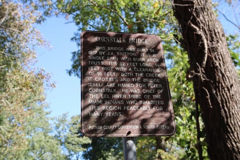
1. Cornstalk Bridge Marker
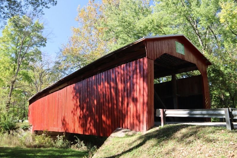
This bridge was built in 1917 by J.A. Britton. It is a single span with Burr Arch Truss. It's 82 feet long, 14 feet wide with a clearance of 16 feet. Both the creek it crosses and the bridge itself are named for Peter Cornstalk. He was a Chief of the Eel River Tribe of the Miami Indians who inhabited this region peaceably for many years.
Erected by Putnam County & Visitor Bureau.
Topics. This historical marker is listed in these topic lists: Bridges & Viaducts • Government & Politics • Indigenous Peoples and Communities • Waterways & Vessels. A significant historical year for this entry is 1917.
Location. 39° 51.78′ N, 86° 52.129′ W. Marker is near Roachdale, Indiana, in Putnam County. It is on County Road W1350N south of County Road S240E, on the left when traveling west. Touch for map. Marker is at or near this postal address: 1061 W County Rd 1350 N, Roachdale IN 46172, United States of America. Touch for directions.

Regionally, this marker is in Central Indiana. It is also in the American Midwest and in the Corn Belt. Globally, it is in North America, the Western Hemisphere, the Western
this page online
Other nearby markers. At least 8 other markers are within 12 miles of this marker, measured as the crow flies: Chief Cornstalk’s Village (approx. 1.9 miles away); Hillis Bridge (approx. 9.3 miles away); Foundation Rock (approx. 9½ miles away); Portland Mills (approx. 9½ miles away); All Veterans in War and Peace (approx. 11.4 miles away); Oldest Surviving Veteran of American Revolution (approx. 11½ miles away); Dorothy Madden Hobson Luther (approx. 11.6 miles away); Spanish American War Memorial (approx. 11.7 miles away).
Related markers. Click here for a list of markers that are related to this marker.
Photographed by Trevor L Whited, October 18, 2026
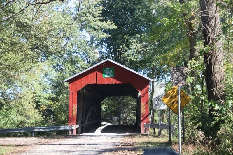
2. Cornstalk Bridge Marker
Photographed by Trevor L Whited, October 18, 2026
3. Cornstalk Bridge
Photographed by Trevor L Whited, October 18, 2026
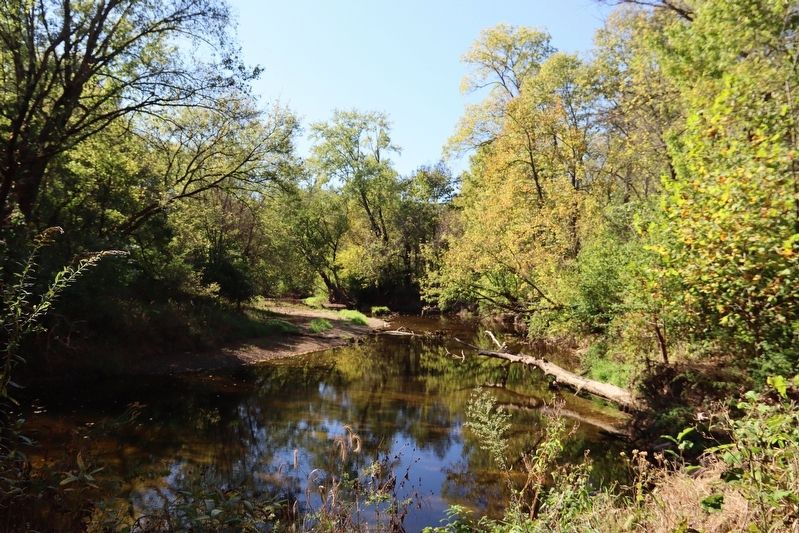
4. Cornstalk Creek
Credits. This page was last revised on October 19, 2026. It was originally submitted on October 19, 2026, by Trevor L Whited of Kokomo, Indiana. This page has been viewed 8 times since then. Photos: 1, 2, 3, 4. submitted on October 19, 2026, by Trevor L Whited of Kokomo, Indiana. • Devry Becker Jones was the editor who published this page.
