Wall in Pennington County, South Dakota — The American Midwest (Upper Plains)
Mosasaur
Photographed by William Fischer, Jr., September 19, 2026
1. Mosasaur Marker
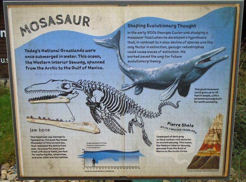
Today's National Grasslands were once submerged in water. This ocean, the Western Interior Seaway, spanned from the Arctic to the Gulf of Mexico.
Shaping Evolutionary Thought
In the early 1800s Georges Cuvier was studying a mosasaur fossil when he developed a hypothesis that, in contrast to a slow decline of species was the only factor in extinction, geologic catastrophes could cause waves of extinction. His worked paved the way for future evolutionary theory.
Jaw bone
This fossilized jaw belongs to Tylosaurus, the most fearsome Mosasaur of this ancient sea, that reshaped the entire food web. Its powerful jaws were lined with sharp teeth, perfect for capturing fish, ammonites, and even other marine reptiles.
This giant mosasaur could grow up to 45 feet in length, with a streamlined body built for swift swimming.
Pierre Shale [in Badlands strata illustration]
69-74.7 Million Years Ago
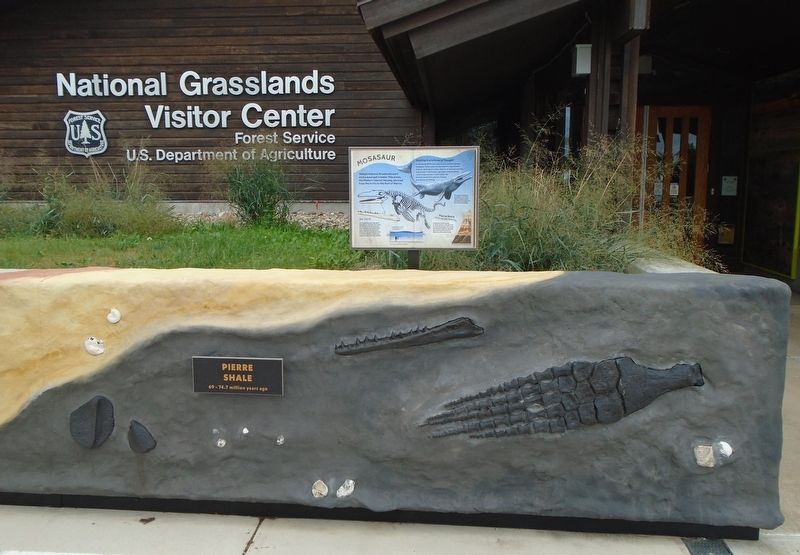
Composed of dark gray or black carbon-rich shale for an ancient seaway. This ocean, the Western Interior Seaway, spanned from the Gulf of Mexico to the Arctic Circle.
[Silhouette drawing] Rough estimate of
this page online
thanks to prehistoric-wildlife.com
Erected by US Forest Service and Badlands Natural History Association.
Topics. This historical marker is listed in these topic lists: Animals • Environment • Paleontology • Waterways & Vessels.
Location. 43° 59.448′ N, 102° 14.49′ W. Marker is in Wall, South Dakota, in Pennington County. It is at the intersection of Main Street and 7th Street, on the left when traveling south on Main Street. Marker is on the National Grasslands Visitor Center grounds. Touch for map. Marker is at or near this postal address: 708 Main Street, Wall SD 57790, United States of America. Touch for directions.

Regionally, this marker is in West River, in the Badlands, and in Greater Rapid City. It is also in the American Lewis & Clark Corridor, on the prairies, and on the Northern Plains. Globally, it is in North America, the Western Hemisphere, the Western World, and the Anglosphere. Historically, it finds itself in what was once Rupert’s Land and also the Louisiana Purchase.
Other nearby markers. At
Photographed by William Fischer, Jr., September 19, 2026
2. Mosasaur Marker
Photographed by William Fischer, Jr., September 19, 2026
3. National Grasslands Visitor Center
Credits. This page was last revised on October 19, 2026. It was originally submitted on October 19, 2026, by William Fischer, Jr. of Reynoldsburg, Ohio. This page has been viewed 11 times since then. Photos: 1, 2, 3. submitted on October 19, 2026, by William Fischer, Jr. of Reynoldsburg, Ohio.
