Wall in Pennington County, South Dakota — The American Midwest (Upper Plains)
Ammonites
Photographed by William Fischer, Jr., September 19, 2026
1. Ammonites Marker
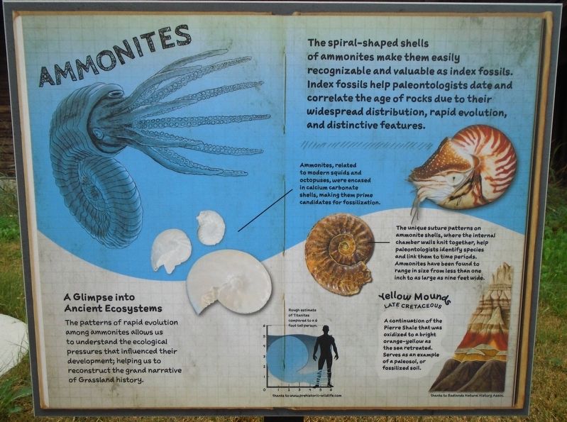
The spiral-shaped shells of ammonites make them easily recognizable and valuable as index fossils. Index fossils help paleontologists date and correlate the age of rocks due to their widespread distribution, rapid evolution, and distinctive features.
A Glimpse into Ancient Ecosystems
The patterns of rapid evolution among ammonites allows us to understand the ecological pressures that influenced their development; helping us to reconstruct the grand narrative of Grassland history.
Ammonites, related to modern squids and octopuses, were encased in calcium carbonate shells, making them prime candidates for fossilization.
The unique suture patterns on ammonite shells, where the internal chamber walls knit together, help paleontologists identify species and link them to time periods. Ammonites have been found to range in size from less than one inch to as large as nine feet wide.
Yellow Mounds [in Badlands strata illustration]
LATE CRETACEOUS [Period]
A continuation of the Pierre Shale that was oxidized to a bright orange-yellow as the sea retreated. Serves as an example of a paleosol,
this page online
[Silhouette drawing] Rough estimate of Titanites compared to a 6 foot tall person. thanks to www.prehistoric-wildlife.com
Erected by US Forest Service and Badlands Natural History Association.
Topics. This historical marker is listed in these topic lists: Animals • Environment • Paleontology • Waterways & Vessels.
Location. 43° 59.449′ N, 102° 14.489′ W. Marker is in Wall, South Dakota, in Pennington County. It is at the intersection of Main Street and 7th Street, on the left when traveling south on Main Street. Marker is on the National Grasslands Visitor Center grounds. Touch for map. Marker is at or near this postal address: 708 Main Street, Wall SD 57790, United States of America. Touch for directions.

Regionally, this marker is in West River, in the Badlands, and in Greater Rapid City. It is also in the American Lewis & Clark Corridor, on the prairies, and on the Northern Plains. Globally, it is in North America, the Western Hemisphere, the Western World, and the Anglosphere. Historically, it finds itself in what was once
Photographed by William Fischer, Jr., September 19, 2026
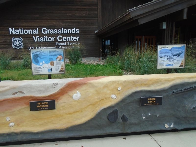
2. Ammonites Marker
Other nearby markers. At least 8 other markers are within walking distance of this marker: Plant Fossils (here, next to this marker); Mosasaur (here, next to this marker); Brontothere (here, next to this marker); Hoplophoneus (here, next to this marker); Welcome to the National Grasslands (here, next to this marker); Mesoreodon (a few steps from this marker); St. Patrick's Parish Bell Tower (within shouting distance of this marker); The Carrol McDonald Post No. 246 World War Memorial (approx. 0.2 miles away). Touch for a list and map of all markers in Wall.
Photographed by William Fischer, Jr., September 19, 2026
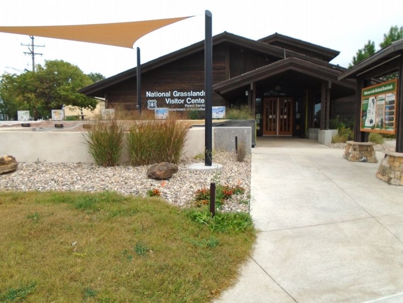
3. National Grasslands Visitor Center
Credits. This page was last revised on October 19, 2026. It was originally submitted on October 19, 2026, by William Fischer, Jr. of Reynoldsburg, Ohio. This page has been viewed 21 times since then. Photos: 1, 2, 3. submitted on October 19, 2026, by William Fischer, Jr. of Reynoldsburg, Ohio.
