Wall in Pennington County, South Dakota — The American Midwest (Upper Plains)
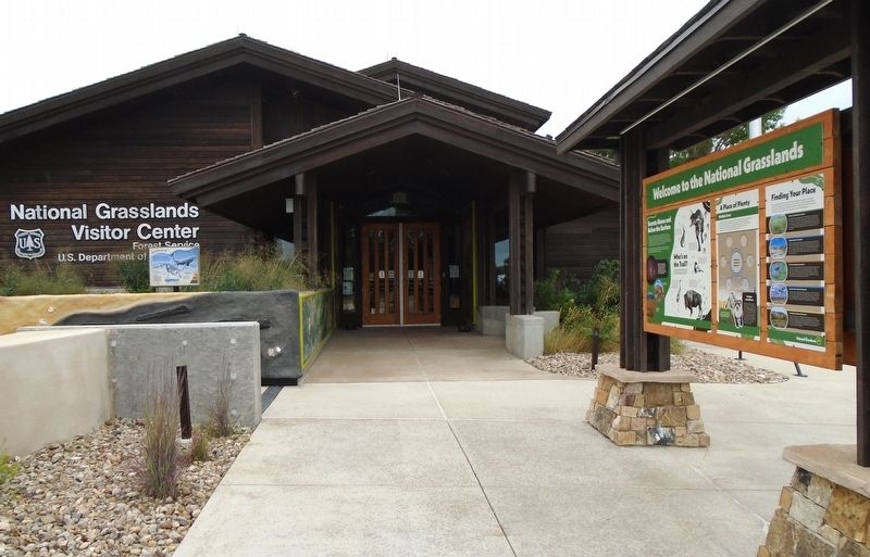
Welcome to the National Grasslands
Photographed by William Fischer, Jr., September 19, 2026
1. Welcome to the National Grasslands Marker
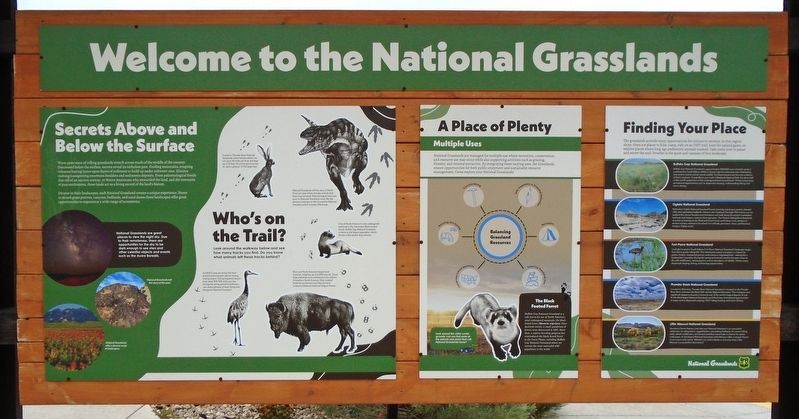
[Marker is primarily informational and natural history related; those portions are not transcribed]
[Marker Excerpts]
Secrets Above and Below the Surface
Wave upon wave of rolling grasslands stretch across much of the middle of the country. Discovered below the surface, secrets reveal its turbulent past. Eroding mountains, erupting volcanoes leaving layers upon layers of sediment to build up under saltwater seas. Glaciers melting transporting enormous boulders and sediments deposits. From paleontological fossils that tell of an ancient seaway, to Native Americans who stewarded the land, and the remnants of past settlements, these lands act as a living record of the land's history.
Diverse in their landscapes, each National Grassland creates a unique experience. Home to mixed grass prairies, canyons, badlands, and sand dunes these landscapes offer great opportunities to experience a wide range of ecosystems.
[Inset photo of petroglyphs] National Grasslands tell the story of the past.
Who's on the Trail?
Look around the walkway below and see how many tracks you find. Do you know what animals left these tracks behind?
National
this page online
Bisons are North America's largest land mammal, weighing up to 2,200 pounds. These large mammals once numbered in the millions throughout North America. Now isolated herds are protected much like the herd located at Midewin National Tallgrass Prairie.
A Place of Plenty
The Black Footed Ferret
Buffalo Gap National Grassland is a safe haven for one of North America's most endangered mammals, the black-footed ferret (Mustela nigripes). Once declared extinct, a small population of ferrets were discovered in 1981. Since then, a captive-breeding program has reintroduced the black-footed ferret to the Great Plains, including Buffalo Gap National Grassland where we sustain the most successful wild population in the world.
Finding Your Place
Buffalo Gap National Grassland
Oglala National Grassland
Fort Pierre National Grassland
Thunder Basin National Grassland
Little Missouri National Grassland
[Opposite side of marker]
"Today's
Photographed by William Fischer, Jr., September 19, 2026
2. Welcome to the National Grasslands Marker
-Tom Domek
(From Dust Bowl to Public Prairie: The National Grasslands Story)
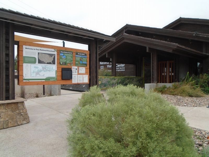
On the Watch
Be Wildfire Award
Fire has historically been part of the grassland ecosystems whether caused naturally such as by lightning or started by humans. However, humans are responsible for starting about 90% of all wildfires today.
ALWAYS be careful with fire.
[Smokey] Only YOU Can Prevent Wildfires!
Erected by US Forest Service.
Topics. This historical marker is listed in these topic lists: Animals • Environment • Indigenous Peoples and Communities • Paleontology. A significant historical year for this entry is 1981.
Location. 43° 59.447′ N, 102° 14.494′ W. Marker is in Wall, South Dakota, in Pennington County. It
Photographed by William Fischer, Jr., September 19, 2026
3. Welcome to the National Grasslands Marker
Opposite side of kiosk

Regionally, this marker is in West River, in the Badlands, and in Greater Rapid City. It is also in the American Lewis & Clark Corridor, on the prairies, and on the Northern Plains. Globally, it is in North America, the Western Hemisphere, the Western World, and the Anglosphere. Historically, it finds itself in what was once Rupert’s Land and also the Louisiana Purchase.
Other nearby markers. At least 8 other markers are within walking distance of this marker: Mosasaur (here, next to this marker); Ammonites (here, next to this marker); Plant Fossils (here, next to this marker); Brontothere (a few steps from this marker); Hoplophoneus (a few steps from this marker); Mesoreodon (a few steps from this marker); St. Patrick's Parish Bell Tower (within shouting distance of this marker); The Carrol McDonald Post No. 246 World War Memorial
Photographed by William Fischer, Jr., September 19, 2026
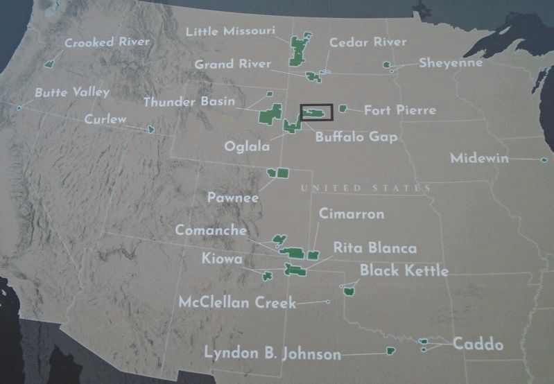
4. National Grasslands Map on Marker
Credits. This page was last revised on October 19, 2026. It was originally submitted on October 19, 2026, by William Fischer, Jr. of Reynoldsburg, Ohio. This page has been viewed 14 times since then. Photos: 1, 2, 3, 4. submitted on October 19, 2026, by William Fischer, Jr. of Reynoldsburg, Ohio.
