Near Fredericksburg in Spotsylvania County, Virginia — The American South (Mid-Atlantic)
CVBT at Chancellorsville
Battlefield Preservation
Photographed by Evan Dwyer, October 12, 2026
1. CVBT at Chancellorsville Marker
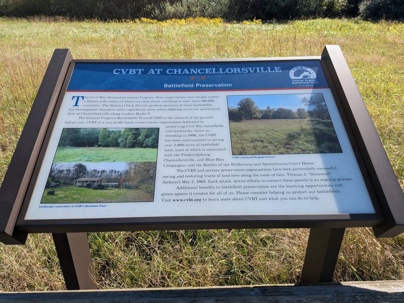
The Central Virginia Battlefields Trust (CVBT) is the steward of the historic ground before you. CVBT is a non-profit lands conservation organization dedicated to preserving Civil War battlefields and landmarks. Since its founding in 1996, the CVBT has been instrumental in saving over 2,000 acres of battlefield land. Most of this battlefield land is associated with the Fredericksburg, Chancellorsville, and Mine Run Campaigns, and the Battles of the Wilderness and Spotsylvania Court House.
Additional benefits to battlefield preservation are the learning opportunities and green spaces it creates for all of us. Please consider helping us protect our battlefields. Visit www.cvbt.org to learn more about CVBT and what you can do to help.
Erected 2026 by Central Virginia Battlefields Trust.
this page online
Topics. This historical marker is listed in these topic lists: Charity & Public Work • Parks & Recreational Areas • War, US Civil. A significant historical year for this entry is 1996.
Location. 38° 18.63′ N, 77° 40.573′ W. Marker is near Fredericksburg, Virginia, in Spotsylvania County. It is on Plank Road (Virginia Route 3) 0.2 miles west of Orange Plank Road (County Route 621), on the right when traveling east. Touch for map. Marker is at or near this postal address: 9832 Plank Rd, Spotsylvania VA 22553, United States of America. Touch for directions.

Regionally, this marker is in the Washington Metropolitan Area, in Northern Virginia, and in the Piedmont. It is also in the American South, specifically in the Upper South, in the Mid-Atlantic, and on the Eastern Seaboard. Globally, it is in the North Atlantic Region, North America, the Western Hemisphere, the Western World, and the Anglosphere. Historically, it finds itself in what was once the territory of the Mississippian Culture, one of the original Thirteen Colonies, one of the Confederate States of America, and the Antebellum South.
Other nearby markers. At
Photographed by Evan Dwyer, October 12, 2026
2. CVBT at Chancellorsville Marker
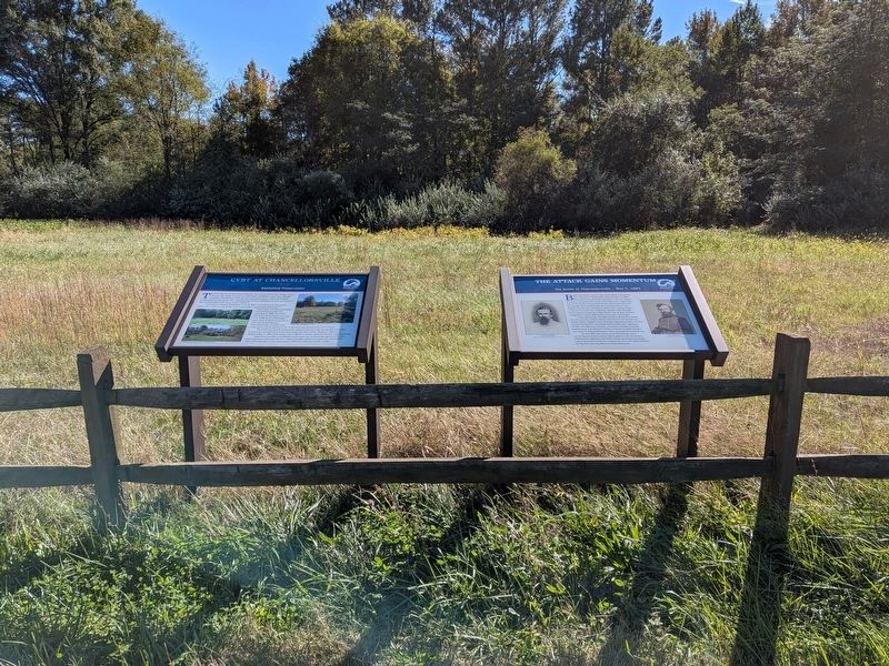
It is the left marker of this pair.
Another marker is no longer nearby. The Flying Dutchmen (was approx. 0.4 miles away but has been replaced with another marker now near it).
Also see . . . Central Virginia Battlefields Trust - Rodes-Dole Tract. This link tells the story of the preservation of this piece of land - one of a number that the Trust has pieced together since 1999 around the Talley Farm - which previously was the site of a turreted souvenir shop called "The Castle" colloquially and "Stars and Bars" formally. Visitors to the battlefield and locals who often drove Route 3 will remember
Photographed by Evan Dwyer, October 12, 2026
3. CVBT at Chancellorsville Marker
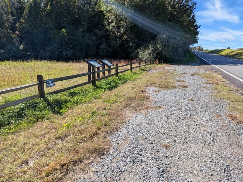
The wayside at this location is right alongside the swift-moving traffic of busy Route 3. The visitor should exercise caution and stay alert when stopping here.
Credits. This page was last revised on October 19, 2026. It was originally submitted on October 19, 2026, by Evan Dwyer of Richmond, Virginia. This page has been viewed 8 times since then. Photos: 1, 2, 3. submitted on October 19, 2026, by Evan Dwyer of Richmond, Virginia.
