Hot Springs in Fall River County, South Dakota — The American Midwest (Upper Plains)
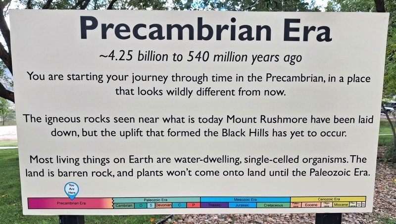
Precambrian Era
~4.5 billion to 540 million years ago
Photographed by William Fischer, Jr., September 25, 2026
1. Precambrian Era Marker
You are starting your journey through time in the Precambrian, in a place that looks wildly different from now.
The igneous rocks seen near what is today Mount Rushmore have been laid down, but the uplift that formed the Black Hills has yet to occur.
Most living things on Earth are water-dwelling, single-celled organisms. The land is barren rock, and plants won't come onto land until the Paleozoic Era.
Erected by The Mammoth Site of Hot Springs, Inc.
Topics. This historical marker is listed in these topic lists: Animals • Environment • Paleontology • Waterways & Vessels.
Location. 43° 25.46′ N, 103° 29.025′ W. Marker is in Hot Springs, South Dakota, in Fall River County. It is on no nearby street. Marker is along the Mammoth Site entrance walkway. Touch for map. Marker is at or near this postal address: 1800 US Highway 18 Bypass, Hot Springs SD 57747, United States of America. Touch for directions.

Regionally, this marker is in West River. It is also in the American Black Hills, in the Lewis & Clark Corridor, on the prairies, and on the
this page online
Other nearby markers. At least 8 other markers are within walking distance of this marker: Paleozoic Era (here, next to this marker); Paleozoic-Mesozoic Era (a few steps from this marker); Late Mesozoic Era (within shouting distance of this marker); Mid-Cenozoic Era (within shouting distance of this marker); Pleistocene Epoch (within shouting distance of this marker); Mammoth Site of Hot Springs, SD (about 500 feet away, measured in a direct line); Woodward Field (approx. 0.4 miles away); Black Hills College (approx. 0.4 miles away). Touch for a list and map of all markers in Hot Springs.
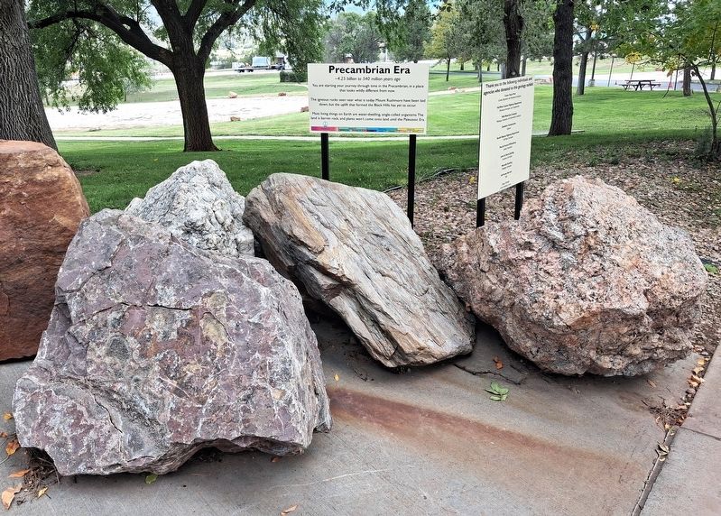
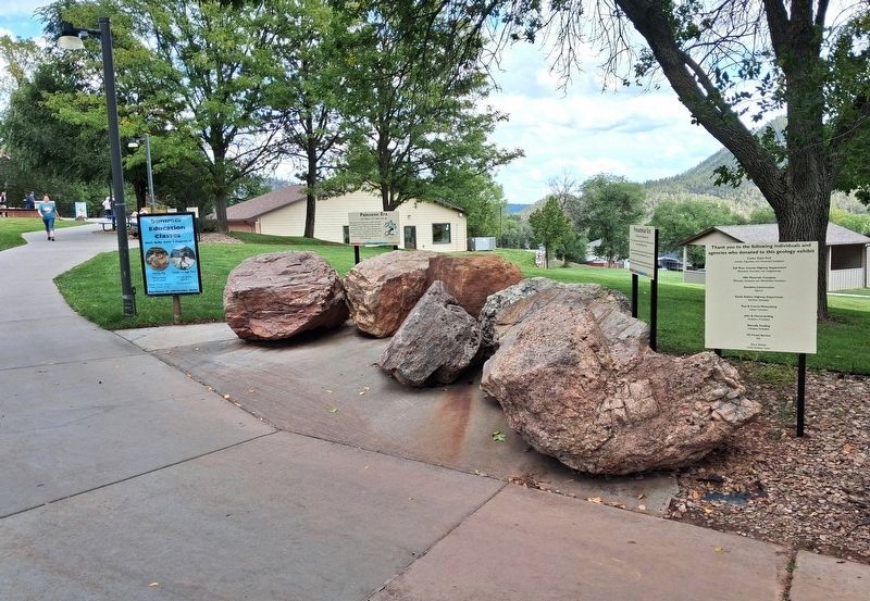
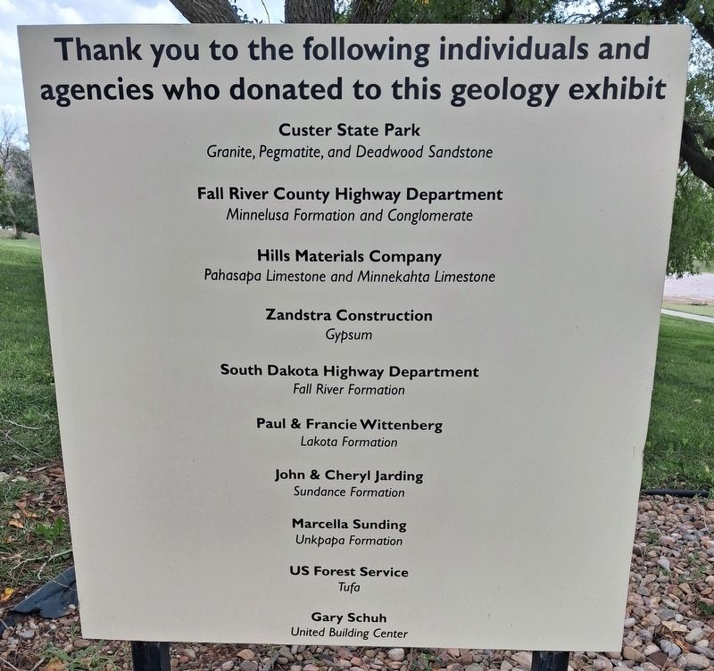
Regarding Precambrian Era. Markers and rocks are part of the walk through Black Hills geology leading to the Mammoth Site.
Related markers. Click here for a list of markers that are related to this marker. Follow the markers chronologically through the geologic timeline
Photographed by William Fischer, Jr., September 25, 2026
2. Precambrian Era Marker
Photographed by William Fischer, Jr., September 25, 2026
3. Walk Through Black Hills Geology Exhibit
Photographed by William Fischer, Jr., September 25, 2026
4. Walk Through Black Hills Geology Exhibit Support
Credits. This page was last revised on October 24, 2026. It was originally submitted on October 21, 2026, by William Fischer, Jr. of Reynoldsburg, Ohio. This page has been viewed 12 times since then. Photos: 1, 2, 3, 4. submitted on October 21, 2026, by William Fischer, Jr. of Reynoldsburg, Ohio.
