Thetford in Norfolk, England, United Kingdom — Northwestern Europe (the British Isles)
Archaeology
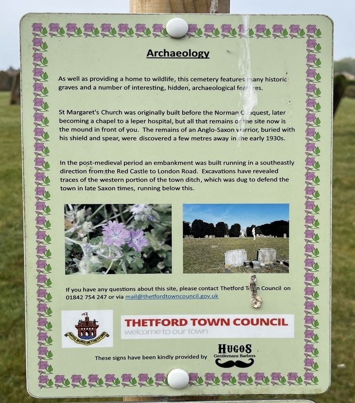
Photographed by Ray Gurganus, April 24, 2026
1. Archaeology Marker
St Margaret's Church was originally built before the Norman Conquest, later becoming a chapel to a leper hospital, but all that remains of the site now is the mound in front of you. The remains of an Anglo-Saxon warrior, buried with his shield and spear, were discovered a few metres away in the early 1930s.
In the post-medieval period an embankment was built running in a southeastly direction from the Red Castle to London Road. Excavations have revealed traces of the western portion of the town ditch, which was dug to defend the town in late Saxon times, running below this.
Erected by Thetford Town Council.
Topics. This historical marker is listed in these topic lists: Anthropology & Archaeology • Cemeteries & Burial Sites.
Location. 52° 24.551′ N, 0° 44.313′ E. Marker is in Thetford, England, in Norfolk. It can be reached from London Road, on the right when traveling east. The marker is located within the London
this page online

Regionally, this marker is in East Anglia. Globally, it is on the Atlantic Ocean, in the North Atlantic Region, in Europe, in Atlantic Europe, on one of the British Isles, in the Western World, and in the Anglosphere. Historically, it finds itself in what was once the Roman Empire.
Other nearby markers. At least 8 other markers are within walking distance of this marker: St. Mary the Less (approx. half a kilometer away); Maharajah Duleep Singh (approx. 0.7 kilometers away); Captain Mainwaring's Statue (approx. 0.7 kilometers away); Famous Scripts - Fact and Fiction (approx. 0.8 kilometers away); The Refectory (approx. 0.8 kilometers away); St. Peter's Church (approx. 0.8 kilometers away); Ancient Capital of East Anglia (approx. 0.8 kilometers away); The Prior's Lodging (approx. 0.8 kilometers away). Touch for a list and map of all markers in Thetford.
Credits. This page was last revised on October 23, 2026. It was originally submitted on October 21, 2026, by Ray Gurganus of Washington, District of Columbia. This page has been viewed 5 times since then. Photo 1. submitted on October 21, 2026, by Ray Gurganus of Washington, District of Columbia. • Andrew Ruppenstein was the editor who published this page.
Editor’s want-list for this marker. photo of the marker within its surroundings • Can you help?
