Franklin in Crawford County, Kansas — The American Midwest (Upper Plains)
Franklin Sidewalk
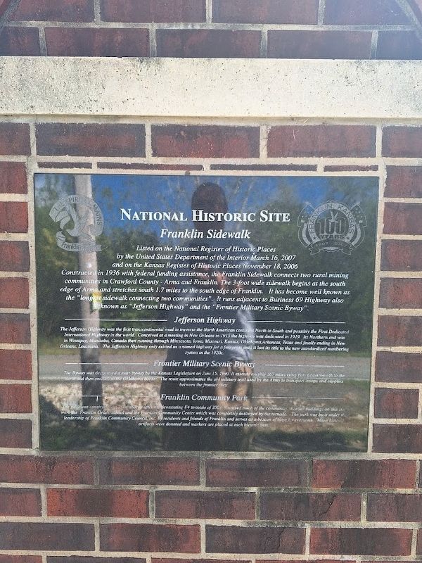
National Historic Site
Photographed by Jason Voigt, September 22, 2026
1. Franklin Sidewalk Marker
Listed on the National Register of Historic Places by the United States Department of the Interior March 16, 2007 and on the Kansas Register of Historic Places November 18, 2006
Constructed in 1936 with federal funding assistance, the Franklin Sidewalk connects two rural mining communities in Crawford County - Arma and Franklin. The 3-foot wide sidewalk begins at the south edge of Arma and stretches south 1.7 miles to the south edge of Franklin. It has become well known as the "longest sidewalk connecting two communities". It runs adjacent to Business 69 Highway also known as "Jefferson Highway" and the "Frontier Military Scenic Byway".
Jefferson Highway
The Jefferson Highway was the first transcontinental road to traverse the North American continent North to South and possibly the First Dedicated International Highway in the world. Conceived at a meeting in New Orleans in 1915 the highway was dedicated in 1919. Its Northern end was in Winnipeg, Manitoba, Canada then running through Minnesota, Iowa, Missouri, Kansas, Oklahoma, Arkansas, Texas and finally ending in New Orleans, Louisiana. The Jefferson Highway only
this page online
Frontier Military Scenic Byway
The Byway was designated a state byway by the Kansas Legislature on June 15, 1990. It extends roughly 167 miles tying Fort Leavenworth to the north and then onward to the Oklahoma border. The route approximates the old military trail used by the Army to transport troops and supplies between the frontier forts.
Franklin Community Park
The park was constructed in 2004 shortly after the devastating F4 tornado of 2003 destroyed much of the community. Earlier buildings on this site were the Franklin Grade School and the Franklin Community Center which was completely destroyed by the tornado. The park was built under the leadership of Franklin Community Council, Inc. by residents and friends of Franklin and serves as a beacon of hope for everyone. Many historic artifacts were donated and markers are placed at each historic item.
Topics and series. This historical marker is listed in these topic lists: Disasters • Forts and Castles • Parks & Recreational Areas •
Photographed by Jason Voigt, September 22, 2026
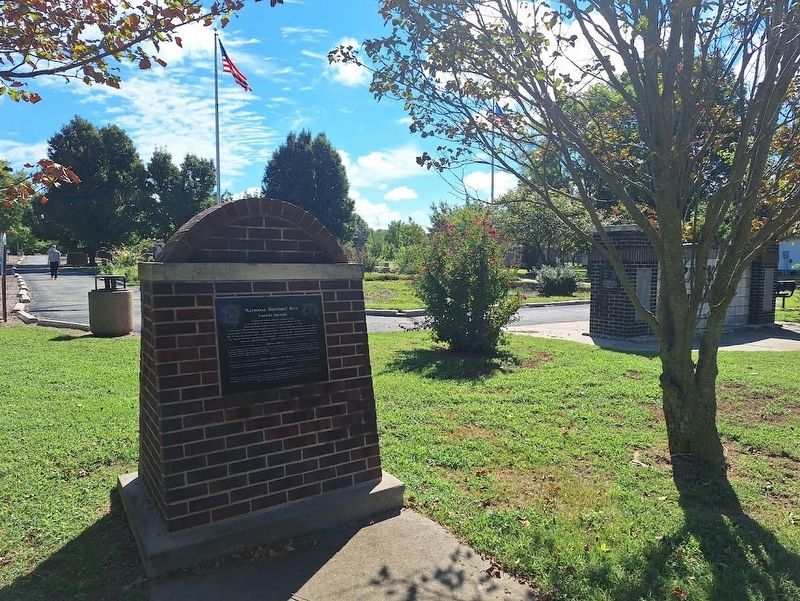
2. Franklin Sidewalk Marker
Located at Franklin Community Park.
Location. 37° 31.369′ N, 94° 42.291′ W. Marker is in Franklin, Kansas, in Crawford County. It is at the intersection of South Broadway Street (Business U.S. 69) and East 5th Street, on the right when traveling north on South Broadway Street. Marker is located at Franklin Community Park. Touch for map. Marker is at or near this postal address: 411 S Broadway St, Franklin KS 66735, United States of America. Touch for directions.

Regionally, this marker is in Eastern Kansas and specifically in Bleeding Kansas Border War Country. It is also in the American Midwest, in the Corn Belt, on the prairies, and on the Southern Plains. Globally, it is in North America, the Western Hemisphere, the Western World, and the Anglosphere. Historically, it finds itself in what was once the Louisiana Purchase.
Other nearby markers. At least 8 other markers are within walking distance of this marker: Franklin Community Park Sign (here, next to this marker); Franklin - Arma Sidewalk (a few steps from this marker);
Photographed by Jason Voigt, September 22, 2026
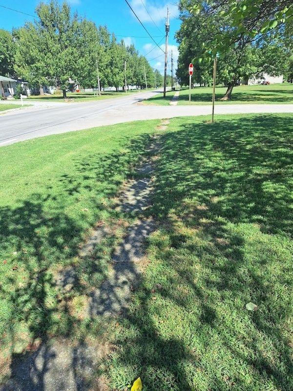
3. Franklin Sidewalk
Not far from the marker
Also see . . . The Franklin to Arma Sidewalk of 1936. From Arma, Kansas' official website. (Submitted on October 22, 2026, by Jason Voigt of Glen Carbon, Illinois.)
Credits. This page was last revised on October 22, 2026. It was originally submitted on October 22, 2026, by Jason Voigt of Glen Carbon, Illinois. This page has been viewed 6 times since then. Photos: 1, 2, 3. submitted on October 22, 2026, by Jason Voigt of Glen Carbon, Illinois.
