Near Agate in Sioux County, Nebraska — The American Midwest (Upper Plains)
Combatting Invader Plants
Photographed by William Fischer, Jr., September 26, 2026
1. Combatting Invader Plants Marker
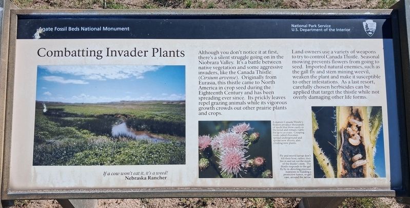
Although you don't notice it at first, there's a silent struggle going on in the Niobrara Valley. It's a battle between native vegetation and some aggressive invaders, like the Canada Thistle (Cirsium arvense). Originally from Eurasia, this thistle came to North America in crop seed during the Eighteenth Century and has been spreading ever since. Its prickly leaves repel grazing animals while its vigorous growth crowds out other prairie plants and crops.
Land owners use a variety of weapons to try to control Canada Thistle. Seasonal mowing prevents flowers from going to seed. Imported natural enemies, such as the gall fly and stem mining weevil, weaken the plant and make it susceptible to other infestations. As a last resort,. carefully chosen herbicides can be applied that target the thistle while not overly damaging other life forms.
If a cow won't eat it, it's a weed!
Nebraska Rancher
[Center photo caption reads]
A mature Canada Thistle's flowers produce thousands of seeds that blow easily in the wind and remain viable for up to 20 years. Creeping roots called rhizomes spread underground
this page online
[Right photo caption reads]
Fly and weevil don't kill their host; rather they live in and eat the inside of the thistle's stem. The thistle responds to the gall fly by re-directing precious nutrients to building a protective tumor, or gall case, around the larvae.
Erected by National Park Service.
Topics. This historical marker is listed in these topic lists: Agriculture • Animals • Environment • Settlements & Settlers.
Location. 42° 25.513′ N, 103° 43.961′ W. Marker is near Agate, Nebraska, in Sioux County. It can be reached from no nearby street. Marker is on the Fossil Hills Trail in Agate Fossil Beds National Monument. Touch for map. Marker is at or near this postal address: 301 River Road, Harrison NE 69346, United States of America. Touch for directions.

Regionally, this marker is in the Nebraska Panhandle. It is also in the American Midwest, in the Corn Belt, on the prairies, on the Great Plains, on the Northern Plains, and specifically on the High Plains. Globally, it is in North America,
Photographed by William Fischer, Jr., September 26, 2026
2. Combatting Invader Plants Marker
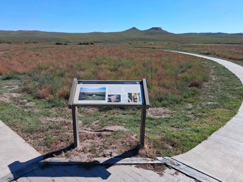
Looking southeast
Other nearby markers. At least 8 other markers are within walking distance of this marker: Fossil Hills Trail (within shouting distance of this marker); The Gift of Friendship (about 400 feet away, measured in a direct line); Bone Cabin (approx. 0.4 miles away); Exploring the Niobrara (approx. 0.4 miles away); Quarry A (approx. 0.6 miles away); An Ancient Waterhole (approx. 0.6 miles away); a different marker also named Fossil Hills Trail (approx. 0.6 miles away); Footprints in the Mud (approx. 0.6 miles away). Touch for a list and map of all markers in Agate.
Regarding Combatting Invader Plants. Although primarily natural history oriented, the marker contains useful historical information.
Photographed by William Fischer, Jr., September 26, 2026
3. Combatting Invader Plants Marker
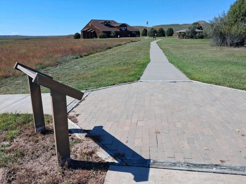
Looking toward the Agate Fossil Beds Visitor Center
Credits. This page was last revised on October 25, 2026. It was originally submitted on October 22, 2026, by William Fischer, Jr. of Reynoldsburg, Ohio. This page has been viewed 10 times since then. Photos: 1, 2, 3. submitted on October 22, 2026, by William Fischer, Jr. of Reynoldsburg, Ohio.
