Tippecanoe Township near Battle Ground in Tippecanoe County, Indiana — The American Midwest (Great Lakes)
Welcome to Prophetstown State Park
Photographed by Craig Doda, September 13, 2026
1. Welcome to Prophetstown State Park Marker
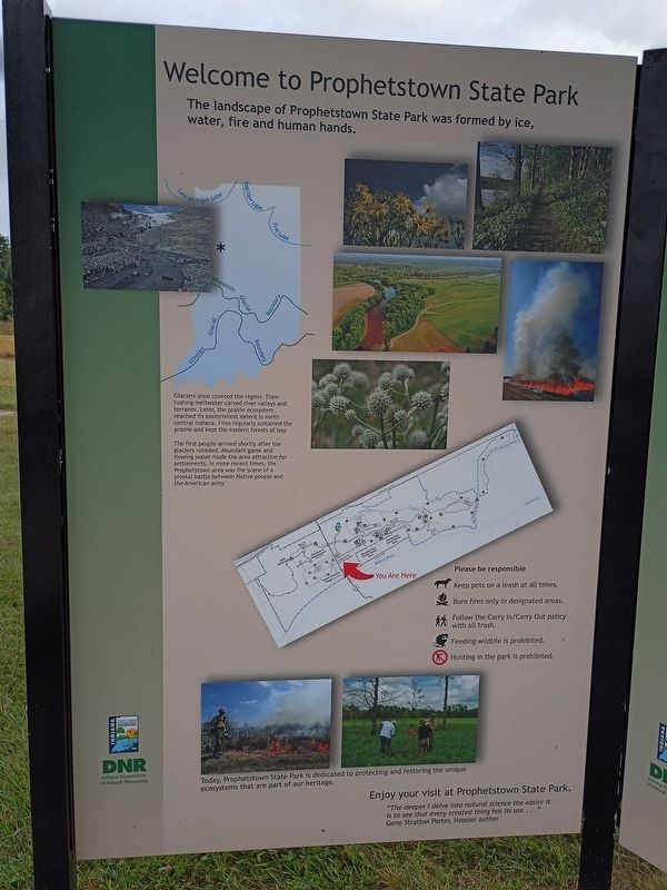
The landscape of Prophetstown State Park was formed by ice, water, fire and human hands.
Glaciers once covered the region. Their rushing meltwater carved river valleys and terraces. Later, the prairie ecosystem reached its easternmost extent in north central Indiana. Fires regularly sustained the prairie and kept the eastern forests at bay.
The first people arrived shortly after the glaciers receded. Abundant game and flowing water made the area attractive for settlements. In more recent times, the Prophetstown area was the scene of a pivotal battle between Native people and the American army.
Today, Prophetstown State Park is dedicated to protecting and restoring the unique ecosystems that are part of our heritage.
"The deeper I delve into natural science the easier it is to see that every created thing has its use..."
Gene Stratton Porter, Hoosier author
Erected by Indiana Department of Natural Resources.
Topics. This historical marker is listed in these topic lists: Indigenous Peoples and Communities • Settlements & Settlers • Wars, US Indian.
Location. 40° 30.039′ N,
this page online

Regionally, this marker is in Central Indiana. It is also in the American Midwest and in the Corn Belt. Globally, it is in North America, the Western Hemisphere, the Western World, and the Anglosphere. Historically, it finds itself in what was once the Viceroyalty of New France, the territory of the Mississippian Culture, and the Northwest Territory.
Other nearby markers. At least 8 other markers are within walking distance of this marker: Indiana State Parks: the First 100 Years (here, next to this marker); The Prophetstown Story (here, next to this marker); Indiana State Parks (here, next to this marker); Medicine Lodge (approx. 0.2 miles away); Chief's Cabin (approx. 0.2 miles away); Woodland Indian Settlement (approx. 0.2 miles away); Village Structures
Photographed by Craig Doda, September 13, 2026
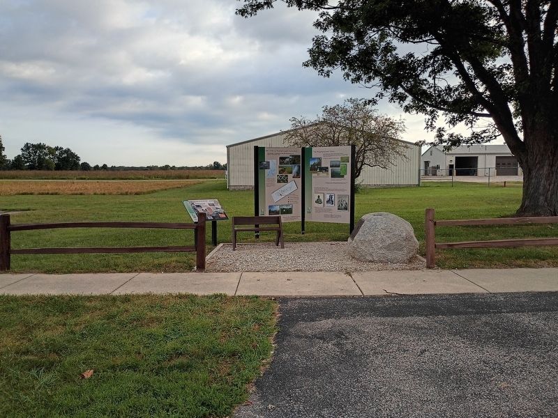
2. Welcome to Prophetstown State Park Marker
Credits. This page was last revised on October 30, 2026. It was originally submitted on October 22, 2026, by Craig Doda of Napoleon, Ohio. This page has been viewed 7 times since then. Photos: 1, 2. submitted on October 22, 2026, by Craig Doda of Napoleon, Ohio. • Devry Becker Jones was the editor who published this page.
