Pittsburg in Crawford County, Kansas — The American Midwest (Upper Plains)
Lincoln Park Tourist Camp
Jefferson Highway Historic Site
Photographed by Jason Voigt, September 22, 2026
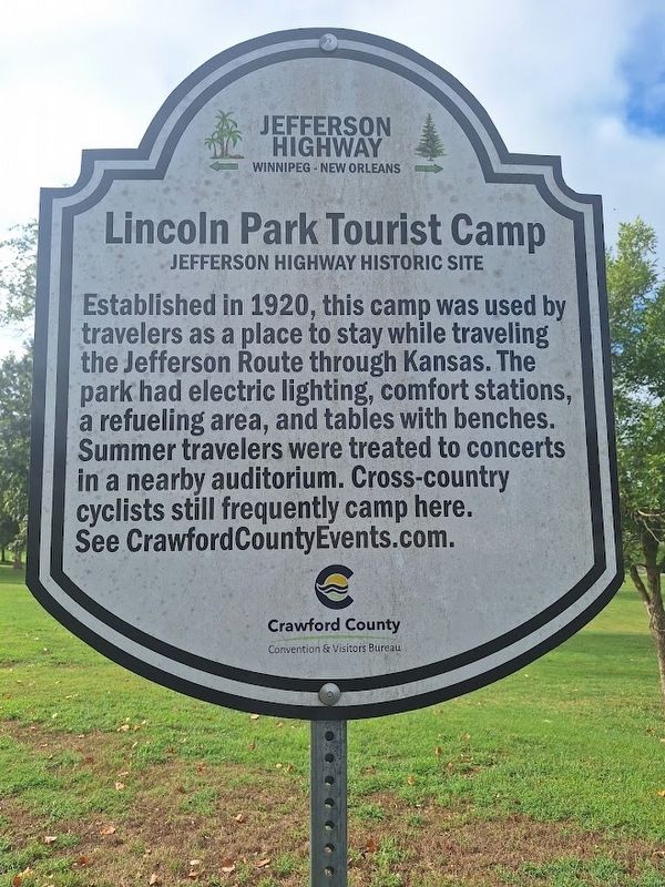
1. Lincoln Park Tourist Camp Marker
Established in 1920, this camp was used by travelers as a place to stay while traveling the Jefferson Route through Kansas. The park had electric lighting, comfort stations, a refueling area, and tables with benches. Summer travelers were treated to concerts in a nearby auditorium. Cross-country cyclists still frequently camp here. See CrawfordCountyEvents.com.
Erected by Crawford County Convention & Visitors Bureau and Jefferson Highway Association.
Topics and series. This historical marker is listed in these topic lists: Parks & Recreational Areas • Roads & Vehicles. In addition, it is included in the Jefferson Highway series list. A significant historical year for this entry is 1920.
Location. 37° 25.099′ N, 94° 42.856′ W. Marker is in Pittsburg, Kansas, in Crawford County. It is on Memorial Drive west of North Catalpa Street, on the right when traveling east. Marker is located at Lincoln Park, near the bandshell. Touch for map. Marker is at or near this postal address: 600 Memorial Dr, Pittsburg KS 66762, United States of America. Touch for directions.

Regionally, this marker is in Eastern Kansas and specifically
this page online
Other nearby markers. At least 8 other markers are within walking distance of this marker: J.J. Richards (within shouting distance of this marker); Dr. Paul B. Leffler Rotary Park (approx. half a mile away); The Freedom Tree (approx. 0.6 miles away); All American Veterans (approx. 0.6 miles away); The Weir - Pittsburg Coalfield (approx. ¾ mile away); Southeast Kansas Coal Mining (approx. ¾ mile away); Frontenac, Kansas (approx. ¾ mile away); The Weir-Pittsburg Coal Field in Cherokee County (approx. ¾ mile away). Touch for a list and map of all markers in Pittsburg.
More about this marker. Marker is a 2-sided marker.
Regarding Lincoln Park Tourist Camp. The cross-country cyclists (mentioned on the marker) are likely those who travel on the TransAmerica Bicycle Trail, which is a coast-to-coast bikeway (Oregon
Photographed by Jason Voigt, September 22, 2026
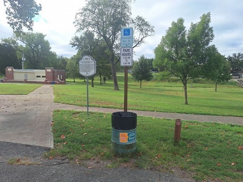
2. Lincoln Park Tourist Camp Marker
Lincoln Park bandshell is in the background
Credits. This page was last revised on October 22, 2026. It was originally submitted on October 22, 2026, by Jason Voigt of Glen Carbon, Illinois. This page has been viewed 4 times since then. Photos: 1, 2. submitted on October 22, 2026, by Jason Voigt of Glen Carbon, Illinois.
