Gering in Scotts Bluff County, Nebraska — The American Midwest (Upper Plains)
Boulder Fountain
Photographed by William Fischer, Jr., September 26, 2026
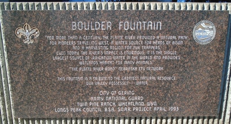
1. Boulder Fountain Marker
"For more than a century, the Platte River provided a natural path for pioneers traveling west, a water source for herds of bison and a harvesting region for fur trappers.
Even today, the river's impact is enormous; it is the single largest source of irrigation water in the world and provides wetlands habitat for many animals"
"The Platte River Road," Nebraska ETV Network
This fountain is a tribute to the greatest natural resource our valley possesses -- water
Erected 1993 by City of Gering, Army National Guard, Twin Pine Ranch, and Longs Peak Council BSA SOAR Project.
Topics. This historical marker is listed in these topic lists: Animals • Environment • Settlements & Settlers • Waterways & Vessels.
Location. 41° 49.319′ N, 103° 39.667′ W. Marker is in Gering, Nebraska, in Scotts Bluff County. It is at the intersection of N Street and 10th Street, on the right when traveling west on N Street. Marker and fountain are on the Gering Civic Center grounds. Touch for map. Marker is at or near this postal address: 1050 M Street, Gering NE 69341,
this page online

Regionally, this marker is in the Nebraska Panhandle. It is also in the American Midwest, in the Corn Belt, and on the prairies. Globally, it is in North America, the Western Hemisphere, the Western World, and the Anglosphere. Historically, it finds itself in what was once the Louisiana Purchase.
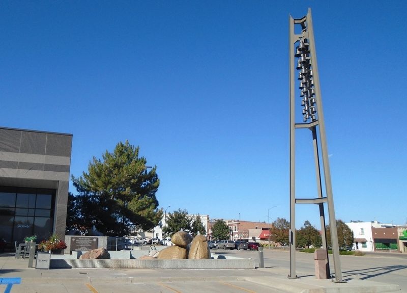
Other nearby markers. At least 8 other markers are within walking distance of this marker: The Platte River Road (here, next to this marker); Griswold Carillon (a few steps from this marker); Gering, Nebraska Centennial (approx. 0.2 miles away); Gering Hotel Ornament (approx. 0.2 miles away); Afghanistan-Iraq Memorial (approx. 0.3 miles away); Alan L. Helling (approx. 0.3 miles away); Scotts Bluff County Veterans Memorial (approx. 0.3 miles away); Replica of the Statue of Liberty (approx. 0.6 miles away). Touch for a list and map of all markers in Gering.
Photographed by William Fischer, Jr., September 26, 2026
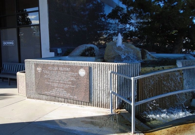
2. Boulder Fountain and Marker
Photographed by William Fischer, Jr., September 26, 2026
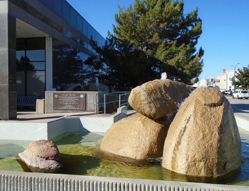
3. Boulder Fountain and Marker
Photographed by William Fischer, Jr., September 26, 2026
4. Boulder Fountain and Marker
Credits. This page was last revised on October 24, 2026. It was originally submitted on October 23, 2026, by William Fischer, Jr. of Reynoldsburg, Ohio. This page has been viewed 9 times since then. Photos: 1. submitted on October 23, 2026, by William Fischer, Jr. of Reynoldsburg, Ohio. 2. submitted on October 24, 2026, by William Fischer, Jr. of Reynoldsburg, Ohio. 3, 4. submitted on October 23, 2026, by William Fischer, Jr. of Reynoldsburg, Ohio.
