Ballwin in St. Louis County, Missouri — The American Midwest (Upper Plains)
20th Century History of Castlewood
Castlewood State Park
Photographed by Jason Voigt, September 26, 2026
1. 20th Century History of Castlewood Marker
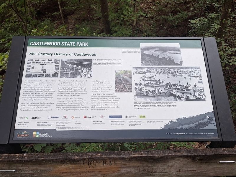
For centuries, humans have used the land that is now Castlewood State Park in many ways. Water, the Meramec River to be specific, has drawn people to the area for a variety of reasons. Castlewood has seen human occupation over thousands of years, beginning with Indigenous peoples. Later, the railroad arrived, sand and gravel mining began and resorts sprang up for those hoping to escape St. Louis during the summer months.
In the early 20th century, the Castlewood area became a recreation magnet and booming resort town. The famous beaches of the Meramec River were and ideal place to spend the summer. Lincoln Beach, made of sand dredged by the Union Sand and Gravel Company, attracted thousands of visitors every weekend. In 1853, the Missouri Pacific Railroad built train tracks through Castlewood. As early as 1915, those seeking outdoor recreation along the Meramec took the train from the city with ease.
Vacationers spent their days canoeing, swimming, sunbathing and socializing on Lincoln Beach. Post-prohibition, Castlewood boasted a thriving tavern scene for those seeking nightlife and entertainment. Visitation to
this page online
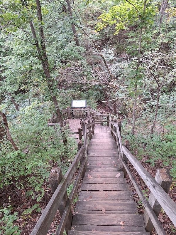
Today, there are a few remnants of the once bustling summer resort town. Hikers may notice a long concrete stairway that led to Castlewood Hotel. One might also see pipes from one of the first piped water systems in rural St. Louis County which provided water to the cabins, lodges, and businesses in the area.
Erected by Missouri Department of Natural Resources and Missouri State Parks.
Topics. This historical marker is listed in these topic lists: Indigenous Peoples and Communities • Parks & Recreational Areas. A significant historical year for this entry is 1853.
Location. 38° 32.918′ N, 90° 33.008′ W. Marker is in Ballwin, Missouri, in St. Louis County. It can be reached from Kiefer Creek Road. Marker is located off the River Scene Trail at Castlewood State Park. Touch for map. Marker is at or near this postal address: 620 E Hill Dr, Ballwin MO 63021, United States of America. Touch for directions.

Regionally,
Photographed by Jason Voigt, September 26, 2026
2. 20th Century History of Castlewood Marker
Located off the River Scene Trail at Castlewood State Park.
Other nearby markers. At least 8 other markers are within 4 miles of this marker, measured as the crow flies: Early Stewards of the Land: The Osage (approx. 0.4 miles away); Site of John Ball Homestead (approx. 3.1 miles away); Meramec Greenway - Rock Hollow Trail (approx. 3.2 miles away); 1935 Frisco Caboose (approx. 3.2 miles away); Planters (approx. 3.2 miles away); Dedicated to World Peace (approx. 3.2 miles away); a different marker also named Dedicated to World Peace (approx. 3.3 miles away); Veterans Memorial (approx. 3.4 miles away). Touch for a list and map of all markers in Ballwin.
Regarding 20th Century History of Castlewood. Accessing the marker requires hiking up a steep, unpaved trail. It is on the River Scene trail, which is-as of 2026- temporarily the Lone Wolf Trail. It is on the wooden stairway that is closed off. At the time of my visit, part of the River Scene trail was closed off for various reasons.
Also see . . . Castlewood State Park (Missouri State Parks). General information about the park and trails. (Submitted on October 23, 2026, by Jason Voigt of Glen Carbon, Illinois.)
Credits. This page was last revised on October 23, 2026. It was originally submitted on October 23, 2026, by Jason Voigt of Glen Carbon, Illinois. This page has been viewed 9 times since then. Photos: 1, 2. submitted on October 23, 2026, by Jason Voigt of Glen Carbon, Illinois.
