Monroe in Monroe County, Michigan — The American Midwest (Great Lakes)
River Raisin Legacy Project
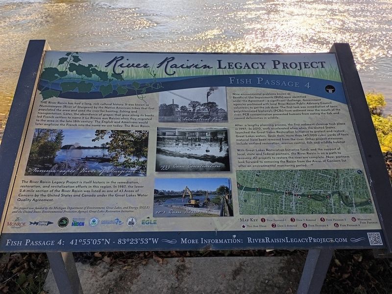
Fish Passage 4
Photographed by Craig Doda, October 18, 2026
1. River Raisin Legacy Project Marker
The River Raisin Legacy Project is itself historic in the remediation, restoration, and revitalization efforts in this region. In 1987, the lower 2.6-mile section of the River Raisin was listed as one of 43 Areas of Concern by the United States and Canada under the Great Lakes Water Quality Agreement.
Nine environmental problems known as Beneficial Use Impairments (BUIs) were identified under the Agreement - a significant challenge. Government agencies partnered with local River Raisin Public Advisory Council volunteers to get the job done. The first task was remediation of toxic polychlorinated biphenyls (PCBs) from sediment
this page online
After a lengthy planning process, the first sediment cleanup took place in 1997. In 2010, work accelerated when the United States launched the Great Lakes Restoration Initiative to protect and restore Great Lakes waters. Since then, more than 140,000 cubic yards of toxic material have been removed from the river. Other project measures include wetland restoration, erosion control, fish and wildlife habitat.
With Great Lakes Restoration Initiative funds and the support of local, state and federal partners, the River Raisin is on a path to recovery. All projects to restore the river are complete. Now, partners look forward to removing the Raisin from the Areas of Concern list after an environmental monitoring period.
Map Key
1 Fish Passage 1
3 Dam 3 Removed
5 Fish Passage 5
W Waterloo Fish Passage
★ You Are Here
2 Dam 2 Removed
4 Fish Passage 4
6 Fish Passage 6
Fish Passage 4: 41°55'05"N - 83°23'53"W
More Information: Riverraisinlegacyproject.Com
Erected by Michigan Department of Environment,
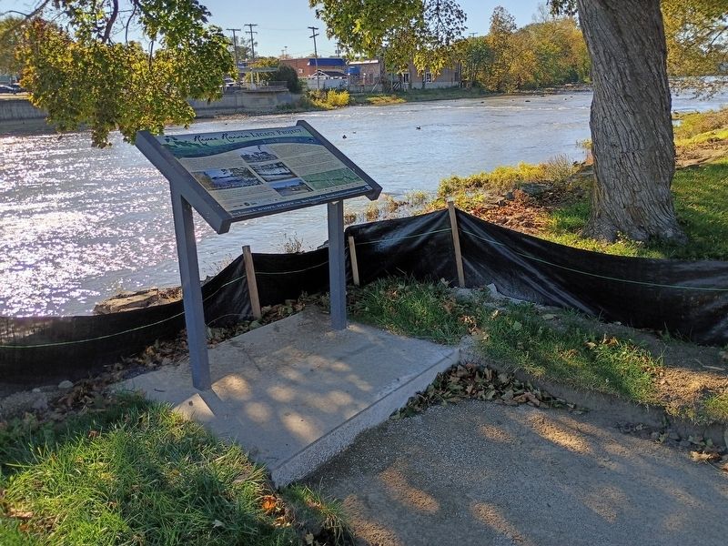
Photographed by Craig Doda, October 18, 2026
2. River Raisin Legacy Project Marker
Topics. This historical marker is listed in these topic lists: Animals • Waterways & Vessels. A significant historical year for this entry is 1987.
Location. 41° 55.086′ N, 83° 23.897′ W. Marker is in Monroe, Michigan, in Monroe County. It is at the intersection of West Elm Avenue and North Monroe Street, on the right when traveling east on West Elm Avenue. in St. Mary’s Park. Touch for map. Marker is at or near this postal address: 111 W Elm Ave, Monroe MI 48161, United States of America. Touch for directions.

Regionally, this marker is in Southeast Michigan and in Greater Detroit. It is also in the American Midwest. Globally, it is in North America, on the Great Lakes, in the Western Hemisphere, in the Western World, and in the Anglosphere. Historically, it finds itself in what was once the Northwest Territory.
Other nearby markers. At least 8 other markers are within walking distance of this marker: Sisters, Servants Of The Immaculate Heart Of Mary / St. Mary Academy (a few steps from this marker); Dr. Martin Luther King, Jr. (a few steps from this marker); a different marker also named River Raisin Legacy Project (about 300 feet away, measured in a direct line); Major-General George Armstrong Custer (about 400 feet away); General George A. Custer (about 400 feet away); St. Mary Catholic Church (about 400 feet away); George Armstrong Custer / Sighting the Enemy (about 400 feet away); Monroe Street Bridge (about 500 feet away). Touch for a list and map of all markers in Monroe.
Other markers no longer nearby. River Raisin Legacy Project (has been replaced with this marker); Historic River Raisin (was about 400 feet away but has been confirmed missing).
Credits. This page was last revised on November 1, 2026. It was originally submitted on October 23, 2026, by Craig Doda of Napoleon, Ohio. This page has been viewed 12 times since then. Photos: 1, 2. submitted on October 23, 2026, by Craig Doda of Napoleon, Ohio. • Andrew Ruppenstein was the editor who published this page.
