Near Buckland in Fauquier County, Virginia — The American South (Mid-Atlantic)
Roadway Innovations
| — | Journey Through Hollowed Ground | — |
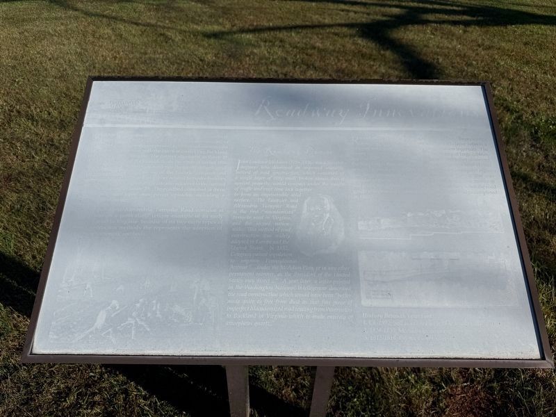
Buckland was witness to many innovative roadway design throughout its history. The Fauquier and Alexandria Turnpike Company was incorporated in 1808; road construction began shortly thereafter with the intent of connecting Buckland to the Little River Turnpike. The current alignment of Route 29 through the Town of Buckland follows the route of earlier 18th and 19th century precursors as evidenced by archeological excavations. The intact portion of the historic Fauuqier and Alexandria Turnpike Road and other related turnpike features were discovered by archaeological teams adjacent to the current northbound lanes of Route 29. The roadbed consisted of three successive distinct and successive stone paved episodes, including a macademized surface.
The Fauquier and Alexandria Turnpike Road corridor at this location is a particularly unique example of an early turnpike road in Virginia- because of its two early types of road construction methods the represents the adoption of McAdam's scientific methods.
Recent archaeological investigations uncovered three clearly-defined levels of road construction–each layer reflects
this page online
History Beneath Your Feet
1. Ca 1892: Soil associatex with 1892 bridge construction.
2. 1824-1830: McAdam re-suracing of original road.
3. 1812-1818: Original cobblestone road.
Topics.
Photographed by Devry Becker Jones (CC0), October 24, 2026
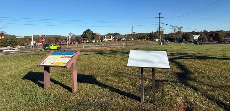
2. Buckland Mills Battle and Roadway Innovations Markers
Location. 38° 46.636′ N, 77° 40.898′ W. Marker has been reported damaged. Marker is near Buckland, Virginia, in Fauquier County. It is at the intersection of Vint Hill Road (Virginia Route 215) and Lee Highway (U.S. 15/29), on the right when traveling north on Vint Hill Road. Touch for map. Marker is at or near this postal address: 6265 Vint Hill Rd, Warrenton VA 20187, United States of America. Touch for directions.

Regionally, this marker is in the Washington Metropolitan Area and in Northern Virginia. It is also in the American South, specifically in the Upper South, and in the Mid-Atlantic. Globally, it is in North America, the Western Hemisphere, the Western World, and the Anglosphere. Historically, it finds itself in what was once the territory of the Mississippian Culture, one of the original Thirteen Colonies, one of the Confederate States of America, and the Antebellum South.
Other nearby markers. At least 8 other markers are within 3 miles of this location, measured as the crow flies: Buckland Mills Battle (here, next to this marker); Buckland (approx. half a mile away); The Buckland Plan (approx. half a mile away); Lafayette's Tour (approx. half a mile away); The Buckland Mill (approx. half a mile away); Battle of Buckland Mills (approx. one mile away); Second Manassas Campaign (approx. 2.1 miles away); Vint Hill Farms Station (approx. 2.4 miles away). Touch for a list and map of all markers in Buckland.
Another marker is no longer nearby. Buckland Mills Battle (was here, next to this marker but has been replaced with another marker now near it).
Credits. This page was last revised on October 24, 2026. It was originally submitted on October 24, 2026, by Devry Becker Jones of Washington, District of Columbia. This page has been viewed 9 times since then. Photos: 1, 2. submitted on October 24, 2026, by Devry Becker Jones of Washington, District of Columbia.
