Near Paris in Fauquier County, Virginia — The American South (Mid-Atlantic)
Conserving Your Dark Skies
Sky Meadows State Park
| — | Virginia State Parks, Department of Conservation and Recreation | — |
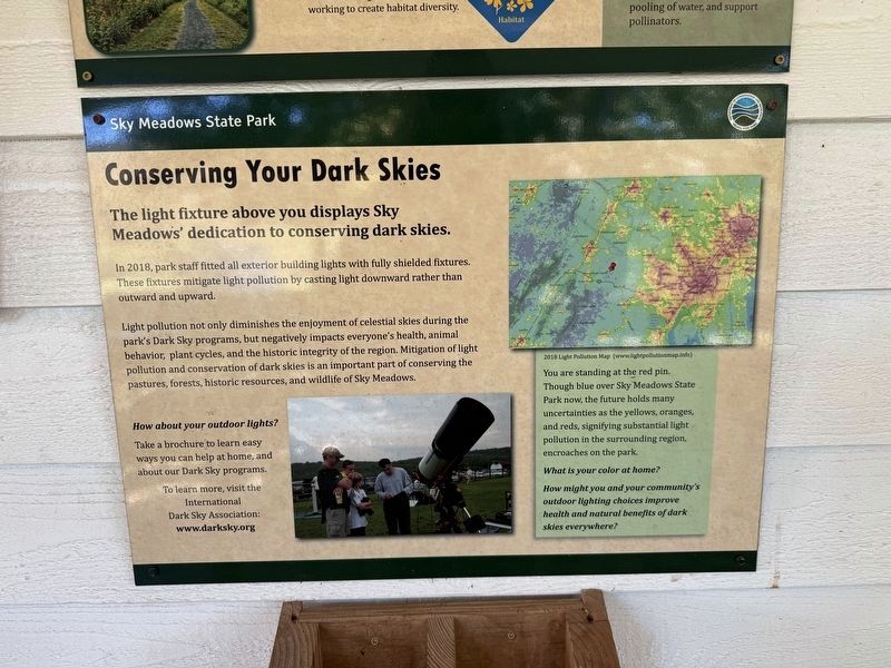
The light fixture above you displays Sky Meadows' dedication to conserving dark skies.
In 2018, park staff fitted all exterior building lights with fully shielded fixtures. These fixtures mitigate light pollution by casting light pollution by casting light downward rather than outward and upward.
Light pollution not only diminishes the emjoyment of celestial skies during the park's Dark Sky programs, but negatively impacts everyone's health, animal behavior, plant cycles, and the historic integrity of the region. Mitigate light pollution and conservation of dark skies is an important part of conserving the pastures, forests, historic resources, and wildlife of Sky Meadows.
How about your outdoor lights?
Take a brochure to learn easy ways you can help at home, and about our Dark Sky programs.
To learn more, visit the International Dark Sky Association: www.darksky.org
[Sidebar:]
You are standing at the red pin. Though blue over Sky Meadows State Park now, the future holds many uncertainties as the yellows, oranges, and reds, signifying substantial light pollution in the surrounding region, encoraches on
this page online
What is your color at home?
How might you and your community's outdoor lighting choices improve health and natural benefits of dark skies everywhere?
Erected by Virginia State Parks, Department of Conservation and Recreation.
Topics. This historical marker is listed in these topic lists: Environment • Parks & Recreational Areas. A significant historical year for this entry is 2018.
Location. 38° 59.451′ N, 77° 57.96′ W. Marker is near Paris, Virginia, in Fauquier County. It can be reached from Edmonds Lane 1.3 miles west of Winchester Road (U.S. 17), on the right when traveling west. The marker is affixed to the Sky Meadows State Park Visitor Center. Touch for map. Marker is at or near this postal address: 11012 Edmonds Ln, Markham VA 22643, United States of America. Touch for directions.

Regionally, this marker is in the Washington Metropolitan Area and in Northern Virginia. It is also in the American South, specifically in the Upper South, and in the Mid-Atlantic. Globally, it is in North America, the Western Hemisphere, the Western World, and the Anglosphere. Historically, it finds itself in what
Other nearby markers. At least 8 other markers are within 2 miles of this marker, measured as the crow flies: Mount Bleak Farm (about 300 feet away, measured in a direct line); Boston Mill Road Trail (about 800 feet away); Restoring the American Chestnut (approx. 0.2 miles away); Hadow Trail (approx. ¼ mile away); Natural Buffer (approx. ¼ mile away); a different marker also named Boston Mill Road Trail (approx. ¼ mile away); Snowden Trail (approx. 0.3 miles away); Jackson’s Bivouac (approx. 1.3 miles away). Touch for a list and map of all markers in Paris.
Photographed by Devry Becker Jones (CC0), October 24, 2026
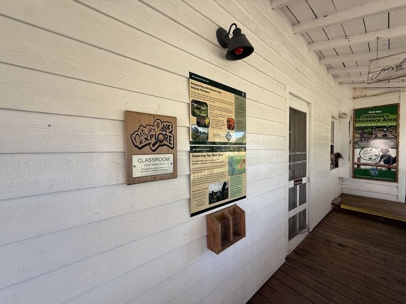
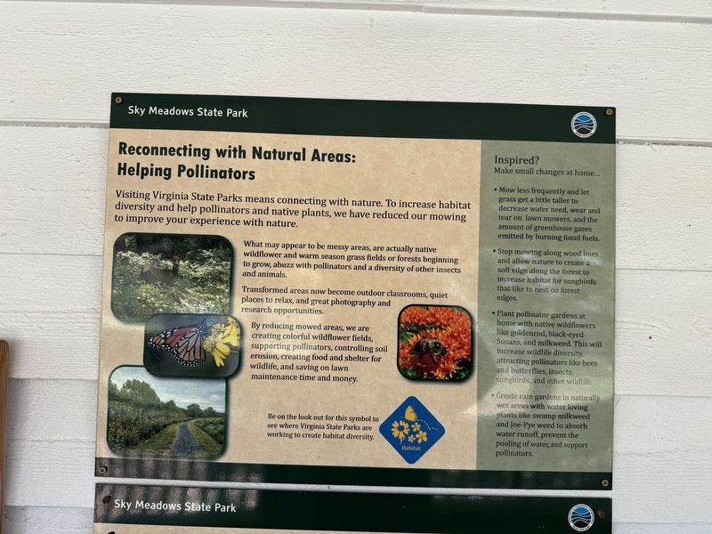
3. Adjacent sign: Reconnecting with Natural Areas: Helping Pollinators
Credits. This page was last revised on October 25, 2026. It was originally submitted on October 25, 2026, by Devry Becker Jones of Washington, District of Columbia. This page has been viewed 4 times since then. Photos: 1, 2, 3. submitted on October 25, 2026, by Devry Becker Jones of Washington, District of Columbia.
