Near Paris in Fauquier County, Virginia — The American South (Mid-Atlantic)
Boston Mill Road Trail
| — | Virginia State Parks, Department of Conservation and Recreation | — |
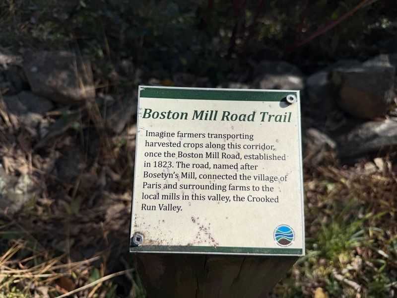
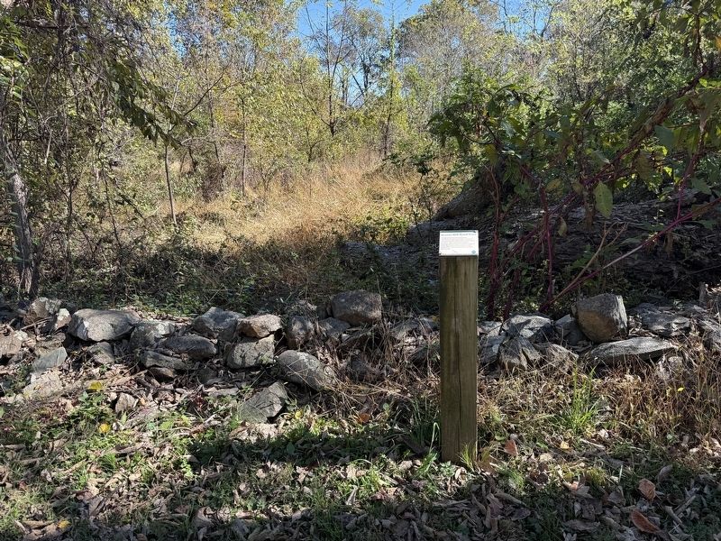
Imagine farmers transporting harvested crops along this corridor, once the Boston Mill Road, established in 1832. The road, named after Bosetyn's Mill, connected the village of Paris and surrounding farms to the local mills in this valley, the Crooked Run Valley.
Erected by Virginia State Parks, Department of Conservation and Recreation.
Topics. This historical marker is listed in these topic lists: Agriculture • Roads & Vehicles. A significant historical year for this entry is 1832.
Location. 38° 59.328′ N, 77° 58.188′ W. Marker is near Paris, Virginia, in Fauquier County. It is on Boston Mill Road south of Hadow Trail, on the left when traveling south. Touch for map. Marker is at or near this postal address: 1124 Boston Mill Rd, Paris VA 20130, United States of America. Touch for directions.

Regionally, this marker is in the Washington Metropolitan Area and in Northern Virginia. It is also in the American South, specifically in the Upper South, and in the Mid-Atlantic. Globally, it is in North America, the Western Hemisphere, the Western World, and the Anglosphere. Historically, it finds itself
this page online
Other nearby markers. At least 8 other markers are within 2 miles of this marker, measured as the crow flies: Hadow Trail (within shouting distance of this marker); Natural Buffer (within shouting distance of this marker); Snowden Trail (about 400 feet away, measured in a direct line); Restoring the American Chestnut (about 600 feet away); a different marker also named Boston Mill Road Trail (approx. ¼ mile away); Conserving Your Dark Skies (approx. ¼ mile away); Mount Bleak Farm (approx. 0.3 miles away); Jackson’s Bivouac (approx. 1½ miles away). Touch for a list and map of all markers in Paris.
Credits. This page was last revised on October 25, 2026. It was originally submitted on October 25, 2026, by Devry Becker Jones of Washington, District of Columbia. This page has been viewed 2 times since then. Photos: 1, 2. submitted on October 25, 2026, by Devry Becker Jones of Washington, District of Columbia.
