Tate in Pickens County, Georgia — The American South (South Atlantic)
John Tate
Private - PA
| — | Revolutionary War Soldier | — |
Photographed by Jimmy Emerson, October 25, 2026
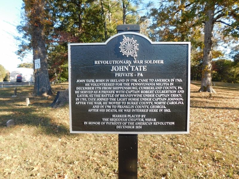
1. John Tate Marker
John Tate, born in Ireland in 1758, came to America in 1763. He volunteered for the Pennsylvania Militia in December 1776 from Shippensburg, Cumberland County, PA. He served as a private with Captain Robert Culbertson and later, at the Battle of Brandywine under Captain Ersky. In 1781, Tate joined the Light Horse under Captain Johnson. After the War, he moved to Burke County, North Carolina and in 1796 to Franklin County, Georgia. After his death, he was interred here in 1842.
Erected 2024 by The Sequoyah Chapter, NSDAR.
Topics. This historical marker is listed in these topic lists: Cemeteries & Burial Sites • Immigration • Patriots & Patriotism • War, US Revolutionary. A significant historical year for this entry is 1758.
Location. 34° 24.85′ N, 84° 23.207′ W. Marker is in Tate, Georgia, in Pickens County. It is at the intersection of North Railroad Street and Georgia Route 53, on the right when traveling north on North Railroad Street. Touch for map. Marker is at or near this postal address: 5151 Hwy
this page online

Regionally, this marker is in the Mountains. It is also in the American South, specifically in the Deep South, in Appalachia, and specifically in Southern Appalachia. Globally, it is in North America, the Western Hemisphere, the Western World, and the Anglosphere. Historically, it finds itself in what was once the original Cherokee Nation, the territory of the Mississippian Culture, one of the original Thirteen Colonies, one of the Confederate States of America, and the Antebellum South.
Other nearby markers. At least 8 other markers are within 5 miles of this marker, measured as the crow flies: Georgia Marble Company and the Village of Tate (within shouting distance of this marker); a different marker also named Old Federal Road (approx. 1.2 miles away); a different marker also named Old Federal Road (approx. 3.1 miles away); a different marker also named Old Federal Road (approx. 4½ miles away); Pickens County (approx. 4½ miles away); Old Pickens County Jail (approx. 4.6 miles away); a different marker also named The Old Pickens County Jail (approx. 4.6
Photographed by Jimmy Emerson, October 25, 2026
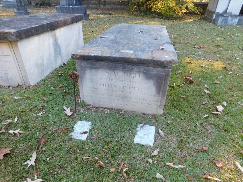
2. John Tate Grave
Another marker is no longer nearby. Old Federal Road (was approx. 1.2 miles away but has been replaced with another marker now near it).
Photographed by Jimmy Emerson, October 25, 2026
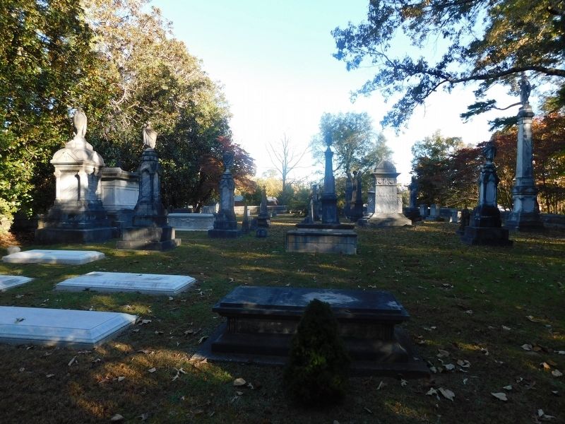
3. The Tate Family Burial Plot
John Tate's grave is the second in the middle.
Photographed by Jimmy Emerson, October 25, 2026
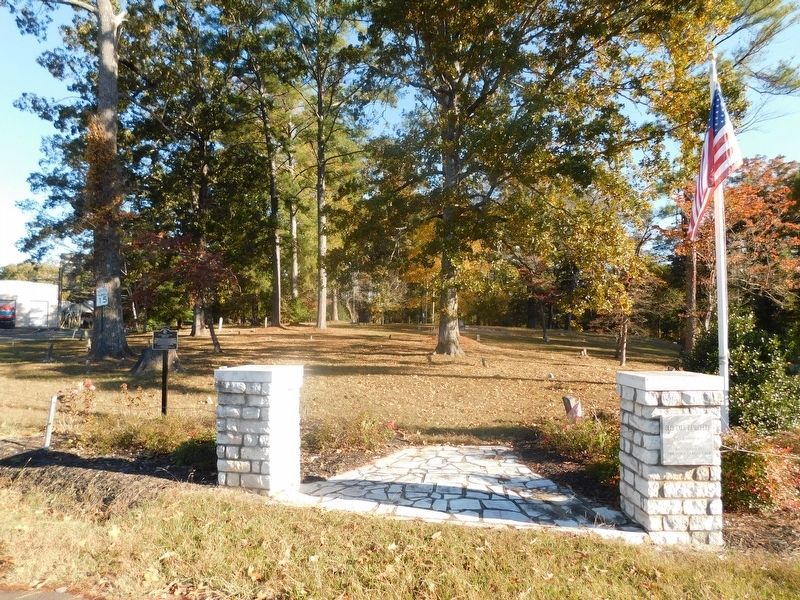
4. John Tate Marker
Credits. This page was last revised on October 26, 2026. It was originally submitted on October 25, 2026, by Jimmy Emerson of Dalton, Georgia. This page has been viewed 8 times since then. Photos: 1, 2, 3, 4. submitted on October 25, 2026, by Jimmy Emerson of Dalton, Georgia. • Bernard Fisher was the editor who published this page.
