Tate in Pickens County, Georgia — The American South (South Atlantic)
Old Federal Road
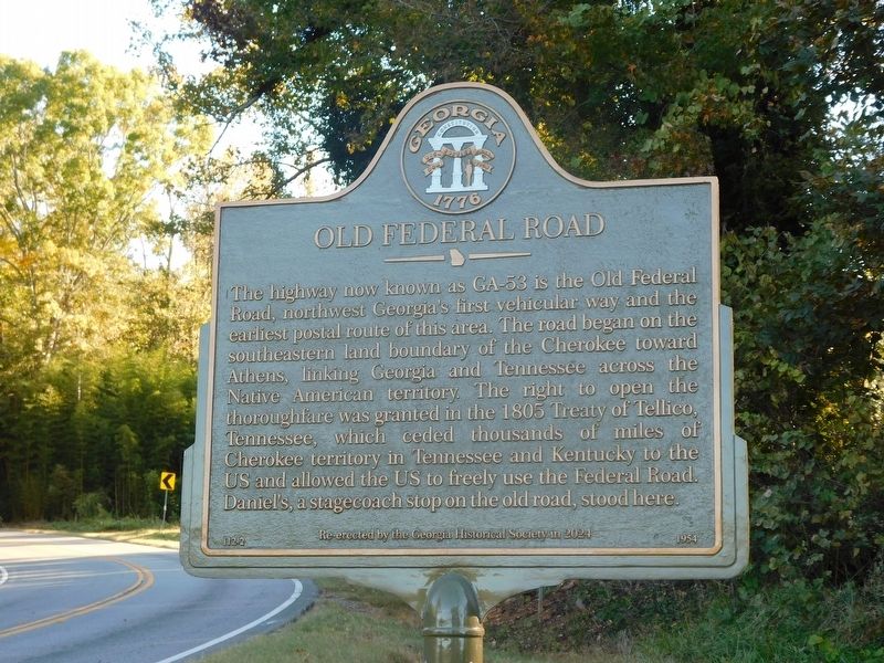
Photographed by Jimmy Emerson, October 25, 2026
1. Old Federal Road Marker
Erected 2024 by Georgia Historical Society. (Marker Number 112-2.)
Topics. This historical marker is listed in these topic lists: Indigenous Peoples and Communities • Roads & Vehicles. A significant historical year for this entry is 1805.
Location. 34° 24.882′ N, 84° 21.907′ W. Marker is in Tate, Georgia, in Pickens County. It is on Georgia Route 53 0.4 miles east of Georgia Marble Road, on the right when traveling east. Touch for map. Marker is in this post office area: Tate GA 30177, United States of America. Touch for directions.

Regionally, this
this page online
Other nearby markers. At least 8 other markers are within 6 miles of this marker, measured as the crow flies: Georgia Marble Company and the Village of Tate (approx. 1.2 miles away); John Tate (approx. 1.2 miles away); a different marker also named Old Federal Road (approx. 3.7 miles away); a different marker also named Old Federal Road (approx. 5.3 miles away); Pickens County (approx. 5.3 miles away); Old Pickens County Jail (approx. 5.4 miles away); a different marker also named The Old Pickens County Jail (approx. 5.4 miles away); The Kirby-Quinton Cabin (approx. 5.4 miles away). Touch for a list and map of all markers in Tate.
Other markers no
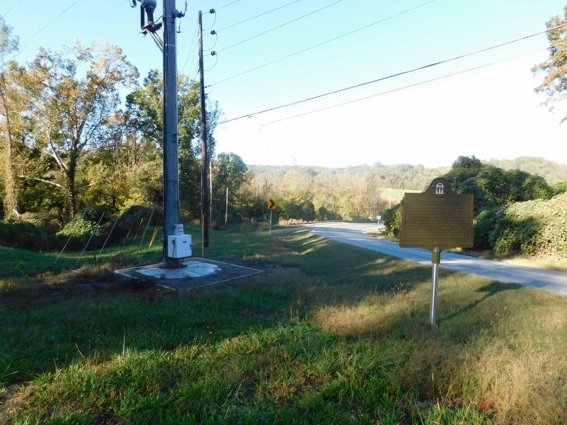
Photographed by Jimmy Emerson, October 25, 2026
2. Old Federal Road Marker
The original marker, also numbered 112-2, was originally installed in 1954 slightly south of this one, on this side of the turn off that is seen in the distance. That road is "Red Bird Way" and is the original route of the Federal Road.
More about this marker. Marker was originally erected by the Georgia Historical Commission in 1954 and re-erected by the Georgia Historical Society in 2024.
Credits. This page was last revised on October 25, 2026. It was originally submitted on October 25, 2026, by Jimmy Emerson of Dalton, Georgia. This page has been viewed 7 times since then. Photos: 1, 2. submitted on October 25, 2026, by Jimmy Emerson of Dalton, Georgia. • Bernard Fisher was the editor who published this page.
