Myrtle in Nez Perce County, Idaho — The American West (Mountains)
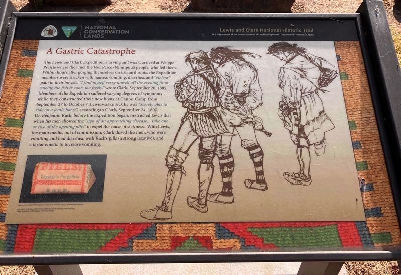
A Gastric Catastrophe
Photographed by Barry Swackhamer, June 16, 2026
1. A Gastric Catastrophe Marker
Photos: (bottom left) Rush's Pills (Smithsonian Institution), (perimeter) Nimiipuu (Nez Perce) woven qéqepe (cornhusk bag).
Erected by Lewis and Clark National Historic Trail, Bureau of Land Management.
this page online
Topics and series. This historical marker is listed in these topic lists: Disasters • Exploration • Indigenous Peoples and Communities • Science & Medicine. In addition, it is included in the Lewis & Clark Expedition series list. A significant historical date for this entry is September 20, 1805.
Location. 46° 29.855′ N, 116° 43.621′ W. Marker is in Myrtle, Idaho, in Nez Perce County. It is on U.S. 12 near Hazel Street. Touch for map. Marker is in this post office area: Lapwai ID 83540, United States of America. Touch for directions.

Regionally, this marker is in North Idaho — Idaho’s Panhandle, on Nez Perce Tribal Land, and in the Palouse. It is also in the American Mountain West, specifically in the Pacific Northwest, and in the Lewis & Clark Corridor. Globally, it is in North America, the Western Hemisphere, the Western World, and the Anglosphere.
Other nearby markers. At least 8 other markers are within 6 miles of this marker, measured as the crow flies: From the Journals (here, next to this marker); Site of the Lapwai Mission (approx. 5.3 miles away); Indian Agency Cabin (approx. 5.3 miles away); Spalding Home Site
Photographed by Barry Swackhamer, June 16, 2026
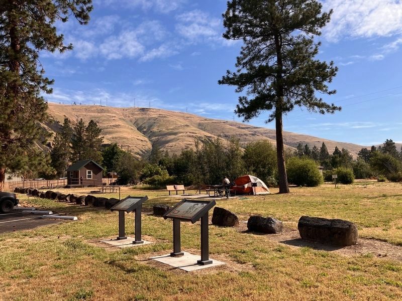
2. A Gastric Catastrophe Marker
Credits. This page was last revised on October 26, 2026. It was originally submitted on October 25, 2026, by Barry Swackhamer of Brentwood, California. This page has been viewed 21 times since then. Photos: 1, 2. submitted on October 25, 2026, by Barry Swackhamer of Brentwood, California.
