Port Melbourne in Port Phillip, Victoria, Australia — Oceania
Sandridge Town Pier
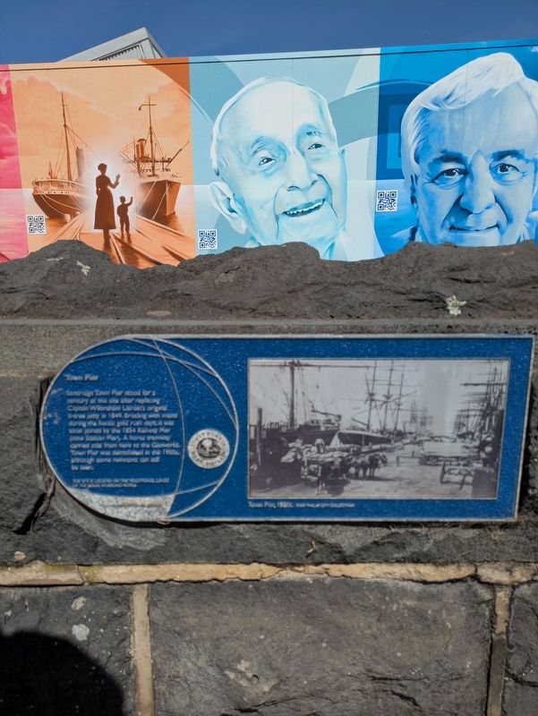
Photographed by Dean Barton-Ancliffe, September 29, 2026
1. Sandridge Town Pier Marker
Erected by City of Port Phillip.
Topics. This historical marker is listed in these topic lists: Colonial Era • Railroads & Streetcars • Waterways & Vessels. A significant historical year for this entry is 1849.
Location. 37° 50.595′ S, 144° 56.273′ E. Marker is in Port Melbourne, Victoria, in Port Phillip. It is at the intersection of Beach Street (Route 33) and Bay Street (Victoria Route 30), on the left when traveling west on Beach Street. Touch for map. Marker is at or near this postal address: 38 Beach Street, Port Melbourne VIC 3207, Australia. Touch for directions.

Regionally, it is in Oceania, in Australasia, in the Pacific Ocean, in South Pacific, on the Pacific Rim, in the Western World, and in the Anglosphere.
this page online
Other nearby markers. At least 8 other markers are within walking distance of this marker: Port Melbourne Foreshore (here, next to this marker); Great War Drinking Fountain Memorial Port Melbourne (within shouting distance of this marker); War Memorial Port Melbourne (within shouting distance of this marker); The Liardet Memorial (about 120 meters away, measured in a direct line); Answering the Call - Naval Heritage Foundation (about 150 meters away); Neptune (about 180 meters away); The Sandridge Hotel (about 240 meters away); World War I Rotunda Memorial Port Melbourne (about 240 meters away). Touch for a list and map of all markers in Port Melbourne.
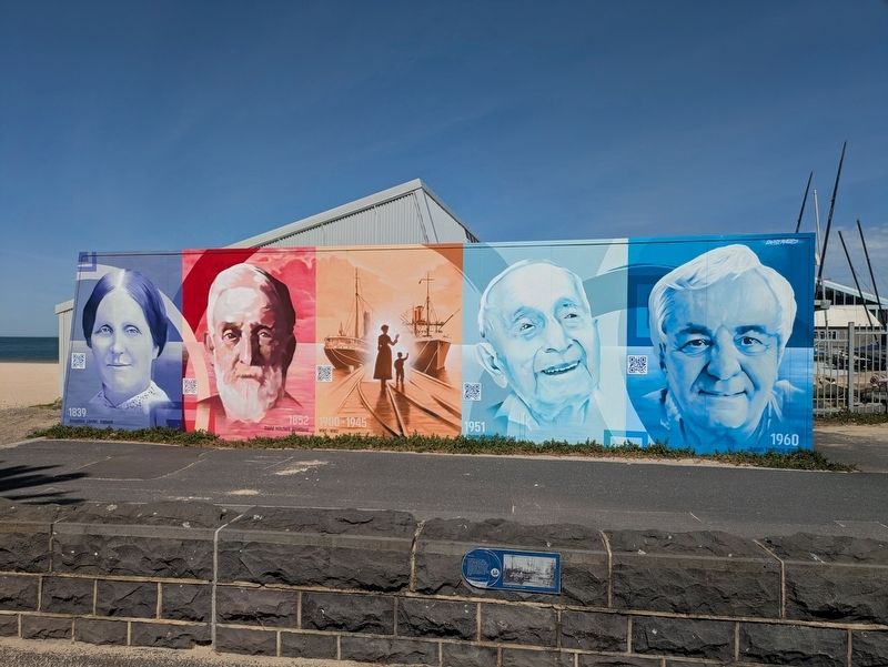
Photographed by Dean Barton-Ancliffe, September 29, 2026
2. Sandridge Town Pier Marker
Credits. This page was last revised on October 26, 2026. It was originally submitted on October 25, 2026, by Dean Barton-Ancliffe of Rowville, Victoria. This page has been viewed 6 times since then. Photos: 1, 2. submitted on October 25, 2026, by Dean Barton-Ancliffe of Rowville, Victoria. • Andrew Ruppenstein was the editor who published this page.
