Koblenz-Ehrenbreitstein , Rhineland-Palatinate, Germany — Central Europe
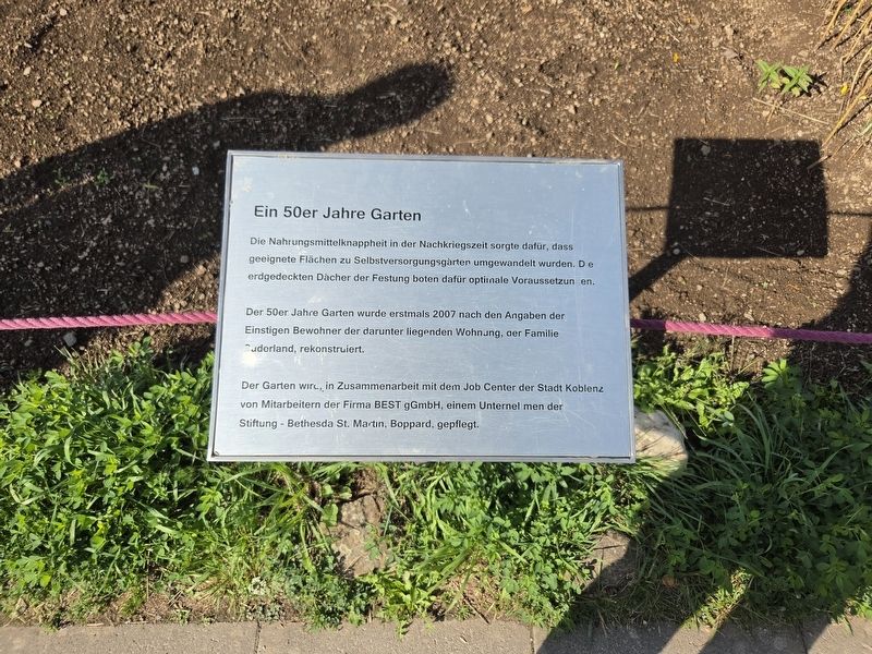
Ein 50er Jahre Garten
⎯⎯⎯
A 1950s Garden
Photographed by James Hulse, October 3, 2026
1. Ein 50er Jahre Garten / A 1950s Garden Marker

Die Nahrungsmittelknappheit in der Nachkriegszeit sorgte dafür, dass geeignete Flächen zu Selbstversorgungsgärten umgewandelt wurden. Die erdgedeckten Dächer der Festung boten dafür optimale Voraussetzungen.
Der 50er Jahre Garten wurde erstmals 2007 nach den Angaben der Einstigen Bewohner der darunter liegenden Wohnung, der Familie Suderland, rekonstruiert.
Der Garten wird, in Zusammenarbeit mit dem Job Center der Stadt Koblenz von Mitarbeitern der Firma BEST gGmbH, einem Unternehmen der Stiftung - Bethesda St. Martin, Boppard, gepflegt.
A 1950s Garden
Food shortages in the postwar period led to suitable spaces being converted into gardens for growing food for personal use. The fortress’s earth-covered roofs provided ideal conditions.
The 1950s garden was first reconstructed in 2007 using information provided by the Suderland family, the former residents of the apartment beneath it.
In cooperation with the City of Koblenz Job Center, the garden is maintained by employees of BEST gGmbH, a company belonging to the Bethesda St. Martin Foundation in Boppard.
Topics.
this page online
Location. 50° 21.894′ N, 7° 36.933′ E. Marker is in Koblenz, Rheinland-Pfalz (Rhineland-Palatinate). It is in Koblenz-Ehrenbreitstein. It is on Greiffenklaustraße 2 kilometers west of Friesenstraße. The marker is located on the grounds of the Ehrenbreitstein Fortress. Touch for map. Marker is in this post office area: Koblenz RP 56077, Germany. Touch for directions.

Regionally, this marker is in the German Rhineland, in the Upper Middle Rhine Valley, and specifically in the Moselle Valley. Globally, it is in Europe, the European Union, Atlantic Europe, Central Europe, the Schengen Area, Western Europe, and the Western World. Historically, it finds itself in what was once the Roman Empire, the Holy Roman Empire, and the former West Germany.
Other nearby markers. At least 8 other markers are within walking distance of this marker: Ein mittelalterlicher Bauerngarten / A Medieval Cottage Garden (a few steps from this marker); Historische Zeitgärten / Historical Period Gardens
Photographed by James Hulse, October 3, 2026
2. Ein 50er Jahre Garten / A 1950s Garden Marker
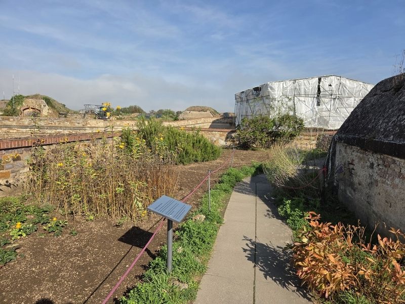
More about this marker. The marker stands atop the Ehrenbreitstein Fortress. Admission is required to enter the fortress and visit the marker.
Credits. This page was last revised on October 26, 2026. It was originally submitted on October 25, 2026, by James Hulse of Medina, Texas. This page has been viewed 8 times since then. Photos: 1, 2. submitted on October 26, 2026, by James Hulse of Medina, Texas.
