Henrico in Henrico County, Virginia — The American South (Mid-Atlantic)
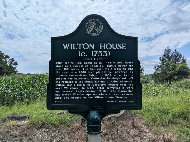
Wilton House
(c. 1753)
Photographed by Evan Dwyer, July 25, 2026
1. Wilton House Marker
Erected 2020 by County of Henrico. (Marker Number HC-47.)
Topics. This historical marker is listed in these topic lists: Agriculture • Colonial Era • War, US Revolutionary. A significant historical year for this entry is 1753.
Location. 37° 26.682′ N, 77° 24.27′ W. Marker is in Henrico, Virginia, in Henrico County. It is at the intersection of Wilton Road and Wilton Farm Road, on the right when traveling south on Wilton Road. Marker is at the entrance to the County-owned Wilton site. Touch for map. Marker is in this post office area: Henrico
this page online

Regionally, this marker is in the Piedmont, in Central Virginia, and in the Richmond Metropolitan Area. It is also in the American South, specifically in the Upper South, and on the Eastern Seaboard. Globally, it is in the North Atlantic Region, North America, the Western Hemisphere, the Western World, and the Anglosphere. Historically, it finds itself in what was once the territory of the Mississippian Culture, one of the original Thirteen Colonies, one of the Confederate States of America, and the Antebellum South.
Other nearby markers. At least 8 other markers are within 2 miles of this marker, measured as the crow flies: Wilton Farm (here, next to this marker); Richmond Defences (approx. 1.3 miles away); Fort Gilmer (approx. 1.3 miles away); Hopeless Attacks (approx. 1.3 miles away); Fort Johnson (approx. 1.6 miles away); St. James School (approx. 1.7 miles away); St. James Hall and Cemetery (approx. 1.7 miles away); Advancing On Richmond (approx. 1.8 miles away). Touch for a list and map of all markers in Henrico.
Other markers no longer nearby. Black Troops Attack at Chaffin’s Farm
Photographed by Evan Dwyer, July 25, 2026
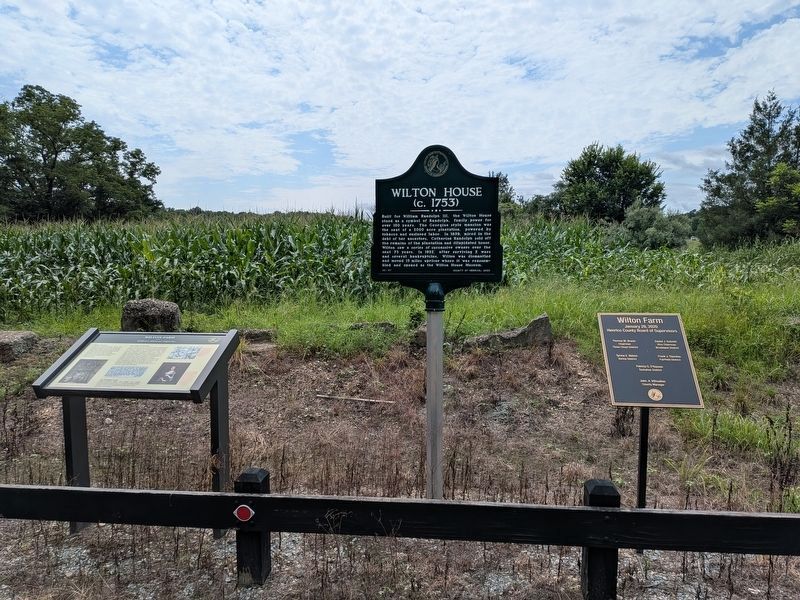
2. Wilton House Marker
The metal tablet at far right is a list of the Henrico County Board of Supervisors from when the county acquired the property in 2020.
More about this marker. The location of the marker is notable - the grounds around Wilton served as headquarters and a campground for patriot troops and militia during the Revolutionary War, with both Generals von Steuben and Lafayette using the property for military purposes during the 1781 Virginia Campaign.
Photographed by Evan Dwyer
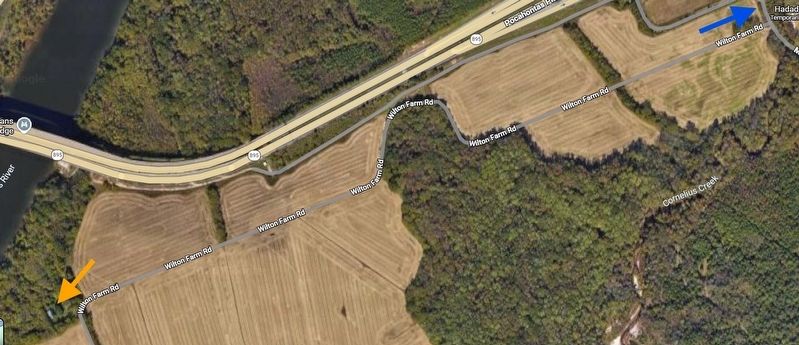
3. Wilton House Site
The blue arrow shows the marker's location. The orange arrow shows where Wilton House stood before it was moved to Richmond. The house visible within the tree cover was built on top of Wilton's original foundation after the historic home was relocated.
Photographed by Evan Dwyer, August 16, 2025
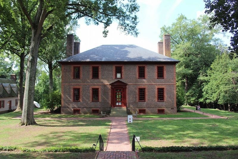
4. Wilton House Museum
The historic Wilton House as it stands in Richmond, where it serves as a house museum. Pieces were numbered, photographed, dismantled, transported, and re-assembled using the photos and numbers as reference.
Credits. This page was last revised on October 26, 2026. It was originally submitted on October 26, 2026, by Evan Dwyer of Richmond, Virginia. This page has been viewed 16 times since then. Photos: 1, 2, 3, 4. submitted on October 26, 2026, by Evan Dwyer of Richmond, Virginia.
