Near Lolo in Missoula County, Montana — The American West (Mountains)
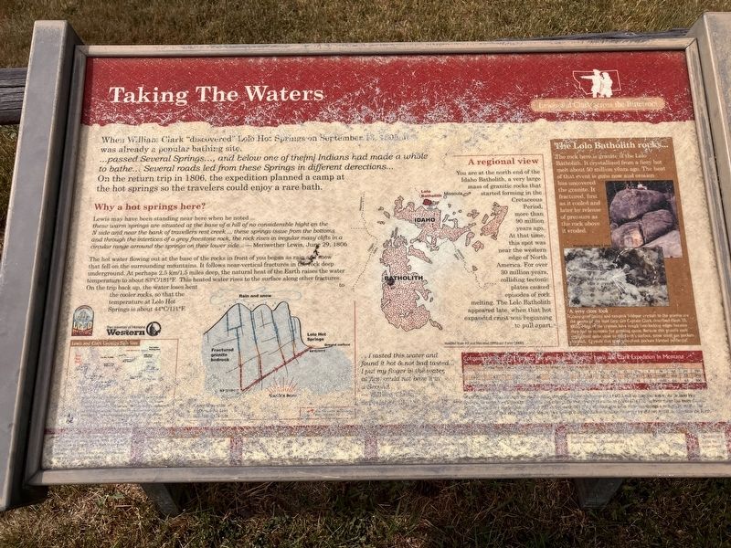
Taking The Waters
Photographed by Barry Swackhamer, June 16, 2026
1. Taking The Waters Marker
Why a hot springs here?
Lewis may have been standing near here when he noted.... these warm springs are situated at the base of a hill of no considerable hight on a N side and near the bank of travellers rest creek ... these springs issue from the bottoms and through the interstices of a grey freestone rock, the rock rises in iregular mass clifts in a circular range arround the springs on their lower side... - Meriwether Lewis, June 29. 1806 The hot
this page online
A regional view
You are at the north end of the Idaho Batholith, a very large mass of granitic rocks that started forming in the Cretaceous Period, more than 90 million years ago. At that time this spot was near the western edge of North America. For over 30 million years, colliding tectonic plates caused episodes of rock melting. The Lolo Batholith appeared late, when that hot expanded crust was beginning to pull apart.
The Lolo Batholith rocks...
The rock here is granite of the Lolo Batholith. It crystallized from a fiery hot melt about 50 million years ago. The heat of that event is gone now and erosion has uncovered the granite, It
Photographed by Barry Swackhamer, June 16, 2026
2. Taking The Waters Marker
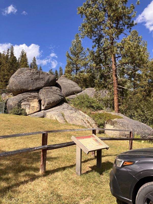
Note the batholith rocks in the backgrounds.
A very close look
Glassy gray quartz and tan-pink feldspar crystals in the granite are the source of the Hard Core Grit Captain Clark described (Sept. 13, 1805). Most of the crystals have rough interlocking edges because they had to compete for growing space. Because this granite melt crystallized quite close to the earth's surface, some small gas pockets formed. Crystals that grew into these gas pockets formed perfectly!
... I tasted this water and found it hot & not bad tasted... I put my finger in the water, at first could not bare it for a Second... William Clark
Erected by University of Montana Western.
Topics and series. This historical marker is listed in these topic lists: Exploration • Natural Features • Parks & Recreational Areas. In addition, it is included in the Lewis & Clark Expedition series list. A significant historical date for this entry is September 13, 1805.
Location. 46° 43.542′ N, 114° 31.966′ W. Marker has been reported unreadable. Marker is
Photographed by Barry Swackhamer, June 16, 2026
3. Lolo Hot Springs Pool

Regionally, this marker is in Western Montana, in Glacier Country, and in Greater Missoula. It is also in the American Mountain West and in the Lewis & Clark Corridor. Globally, it is in North America, the Rocky Mountains, the Western Hemisphere, the Western World, and the Anglosphere. Historically, it finds itself in what was once Rupert’s Land and also the Louisiana Purchase.
Other nearby markers. At least 8 other markers are within 10 miles of this location, measured as the crow flies: Soldiers as Naturalists (approx. 1½ miles away); Cycles and Circles (approx. 4.4 miles away); Lewis and Clark Route (approx. 6.2 miles away in Idaho); Lolo Summit (approx. 6.6 miles away in Idaho); Lewis and Clark (approx. 6.6 miles away in Idaho); Nez Perce Trail (approx. 6.7 miles away in Idaho); Lolo Trail Crossing (approx. 9½ miles away in Idaho);
Photographed by Barry Swackhamer, June 16, 2026
4. Lolo Hot Springs
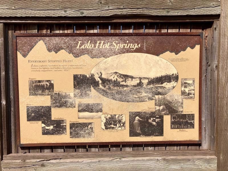
Indians, explorers, fur traders, surveyors, prospectors, soldiers, hunters, fire fighters road builders, fishermen, vacationers.. everybody stopped here.. and now... YOU!
(just wish the photos weren't so badly damaged, they looked interesting)
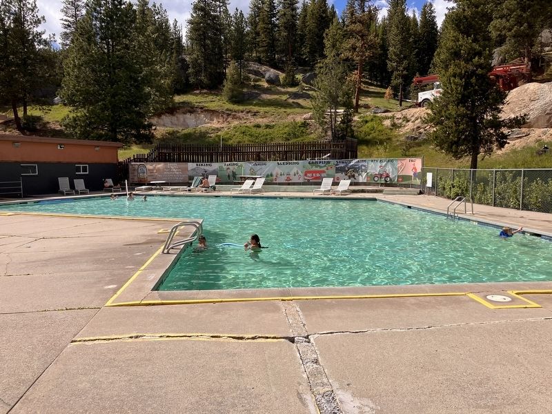
Regarding Taking The Waters. When I stopped here I thought I would take a plunge in the springs themselves, not the pool, but when they told me that the temperature was 107ºF I thought better of it.
Also see . . . Lewis and Clark in Montana, a geologic perspective -- Montana Tech. "... Both captains had a good command of geographic terms and used most of them in there current meaning. Both also seen to have had some concept of geologic time because they occasionally used the phase "in some former age" when referring to some river changes and geographic features." (Submitted on October 26, 2026, by Barry Swackhamer of Brentwood, California.)
Credits. This page was last revised on October 26, 2026. It was originally submitted on October 26, 2026, by Barry Swackhamer of Brentwood, California. This page has been viewed 7 times since then. Photos: 1, 2, 3, 4. submitted on October 26, 2026, by Barry Swackhamer of Brentwood, California.
