Downtown in Peterborough, Ontario — Central Canada (North America)
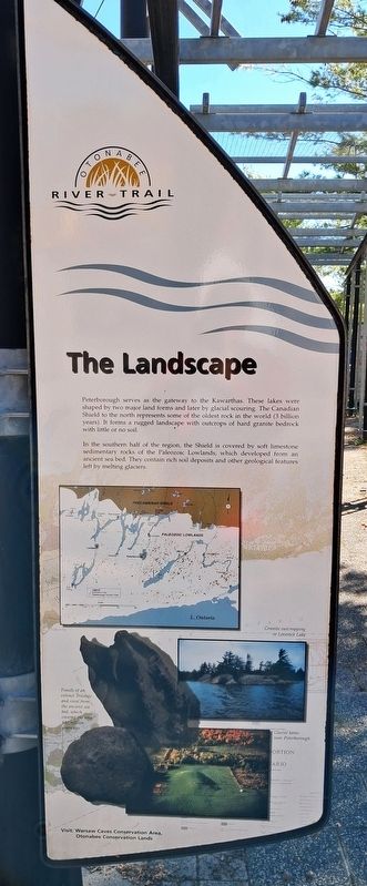
The Landscape
Otonabee River Trail
Photographed by William Fischer, Jr., October 9, 2026
1. The Landscape Marker
Peterborough serves as the gateway to the Kawarthas. These lakes were shaped by two major land forms and later by glacial scouring. The Canadian Shield to the north represents some of the oldest rock in the world (3 billion years). It forms a rugged landscape with outcrops of hard granite bedrock with little or no soil.
In the southern half of the region, the Shield is covered by soft limestone sedimentary rocks of the Paleozoic Lowlands, which developed from an ancient sea bed. They contain rich soil deposits and other geological features left by melting glaciers.
[Map showing]
PRECAMBRIAN SHIELD [and] PALEOZOIC LOWLANDS
[showing] Drumlins in the Peterborough Drumlin Field
[Photo captions read]
• Granite outcropping in Lovesick Lake
• Fossils of an extinct Trilobite and coral from
the ancient sea bed, which covered the area 480 million years ago
• Glacial kame near Peterborough
Visit: Warsaw Caves Conservation Area, Otonabee Conservation Lands
Erected 2000 by City of Peterborough.
Topics. This historical marker is listed in these topic lists: Environment • Paleontology • Parks & Recreational Areas. A significant historical year for this entry is 2000.
Location. 44° 18.113′ N, 78° 19.117′ W. Marker is in Peterborough, Ontario. It is in Downtown. It is on King Street just east of Water Street, on the right when traveling east. Marker and Walkway are in Millenium Park. Touch for map. Marker is at or near this postal address: 131 King Street, Peterborough ON K9J 0A5, Canada. Touch for directions.

Regionally, this marker is in Central Canada. Globally, it is in North America, the Western Hemisphere, the Western World, and the Anglosphere. Historically, it finds itself in what was once a British colony, the Viceroyalty of New France, the Haudenosaunee (Iroquois)
this page online
Other nearby markers. At least 8 other markers are within walking distance of this marker: In the Glacier's Wake (here, next to this marker); Millenium Walkway (here, next to this marker); The River (here, next to this marker); The First Nations (here, next to this marker); Full Circle (here, next to this marker); From Frontier Town... (here, next to this marker); ...To Bustling City (here, next to this marker); Industrial Waterfront (a few steps from this marker). Touch for a list and map of all markers in Peterborough.
Photographed by William Fischer, Jr., October 9, 2026
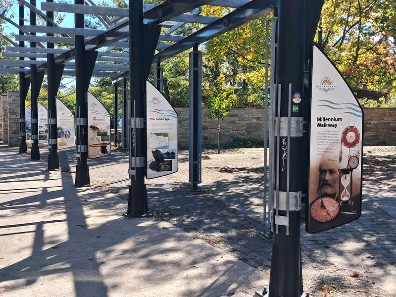
2. The Landscape Marker and Walkway
Photographed by William Fischer, Jr., October 9, 2026
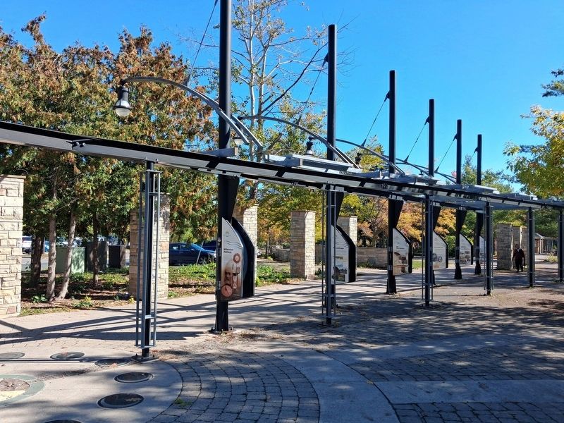
3. Millenium Walkway
Credits. This page was last revised on October 28, 2026. It was originally submitted on October 27, 2026, by William Fischer, Jr. of Reynoldsburg, Ohio. This page has been viewed 7 times since then. Photos: 1, 2, 3. submitted on October 27, 2026, by William Fischer, Jr. of Reynoldsburg, Ohio.
