Downtown in Peterborough, Ontario — Central Canada (North America)
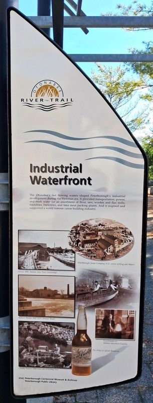
Industrial Waterfront
Otonabee River Trail
Photographed by William Fischer, Jr., October 9, 2026
1. Industrial Waterfront Marker
The Otonabee's fast flowing waters shaped Peterborough's industrial development during the Victorian era. It provided transportation, power, and fresh water for an assortment of flour, saw, woolen and flax mills; foundries, breweries, and later meat packing plants. And it inspired and supported a world famous canoe building industry.
[Photo captions read]
Peterborough Canoe Company (N.E. corner of King and Water)
Perry's Mill, Nassau (now Trent University)
Auburn Woolen Mill 1919 (Armour Road)
Foundryman at William Hamilton Foundry
Canada Packers 1948 (now site of Holiday Inn)
The Pride of Calcutt Breweries
Visit: Peterborough Centennial Museum & Archives, Peterborough Public Library
Erected 2000 by City of Peterborough.
Topics. This historical marker is listed in these topic lists: Agriculture • Industry & Commerce • Settlements & Settlers • Waterways & Vessels. A significant historical year for this entry is 2000.
Location. 44° 18.111′ N, 78° 19.108′ W. Marker is in Peterborough, Ontario. It is in Downtown. It is on King Street east of Water Street, on the right when traveling east. Marker and Walkway are in Millenium Park. Touch for map. Marker is at or near this postal address: 131 King Street, Peterborough ON K9J 0A5, Canada. Touch for directions.

Regionally, this marker is in Central Canada. Globally, it is in North America, the Western Hemisphere, the Western World, and the Anglosphere. Historically, it finds itself in what was once a British colony, the Viceroyalty of New France, the Haudenosaunee (Iroquois) Confederacy, and Rupert’s Land.
Other nearby markers. At least 8 other markers are within walking distance of this marker: New Role for the River (here, next to this marker); Peterborough Today (here, next to this marker); Our Enduring Legacy (here,
this page online
Photographed by William Fischer, Jr., October 9, 2026
2. Industrial Waterfront Marker
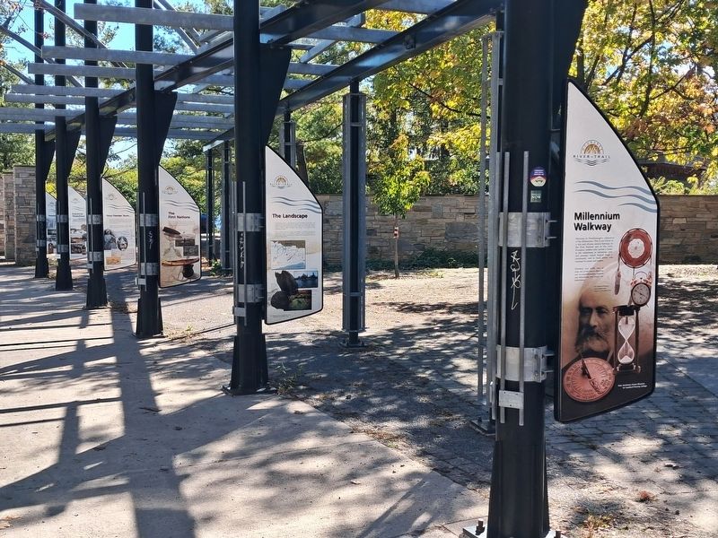
Fifth marker back
Photographed by William Fischer, Jr., October 9, 2026
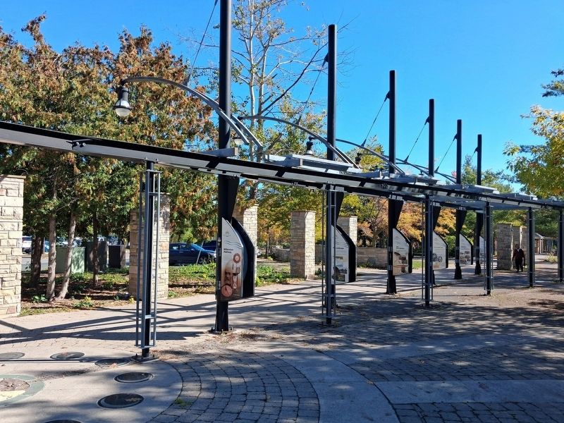
3. Millenium Walkway
Credits. This page was last revised on October 28, 2026. It was originally submitted on October 28, 2026, by William Fischer, Jr. of Reynoldsburg, Ohio. This page has been viewed 8 times since then. Photos: 1, 2. submitted on October 28, 2026, by William Fischer, Jr. of Reynoldsburg, Ohio. 3. submitted on October 27, 2026, by William Fischer, Jr. of Reynoldsburg, Ohio.
