Ashburnham in Peterborough, Ontario — Central Canada (North America)
Ashburnham Memorial Park
Photographed by William Fischer, Jr., October 9, 2026
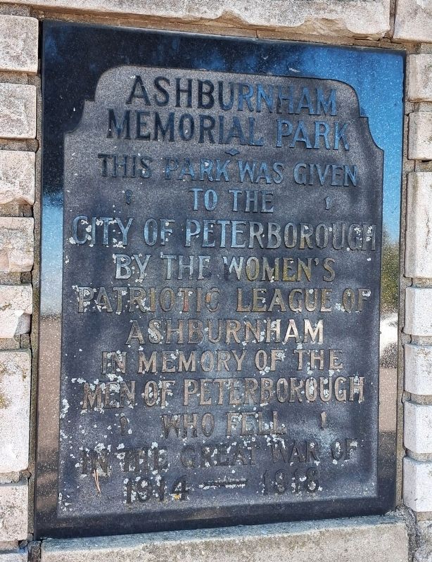
1. Ashburnham Memorial Park Marker
This park was given to the
City of Peterborough by
the Women's Patriotic League
of Ashburnham in memory of
the men of Peterborough
who fell in the Great War of
1914 —— 1918
Erected by the Women's Patriotic League of Ashburnham.
Topics. This memorial is listed in these topic lists: Parks & Recreational Areas • Patriots & Patriotism • War, World I • Women.
Location. 44° 18.699′ N, 78° 18.136′ W. Memorial is in Peterborough, Ontario. It is in Ashburnham. It can be reached from Museum Drive 0.4 kilometers north of Hunter Street East, in the median. Touch for map. Memorial is at or near this postal address: 300 Hunter Street East, Peterborough ON K9H 1H1, Canada. Touch for directions.

Regionally, this memorial is in Central Canada. Globally, it is in North America, the Western Hemisphere, the Western World, and the Anglosphere. Historically, it finds itself in what was once a British colony, the Viceroyalty of New France, the Haudenosaunee (Iroquois) Confederacy, and Rupert’s Land.
Other nearby markers. At least 8 other markers
this page online
Photographed by William Fischer, Jr., October 9, 2026
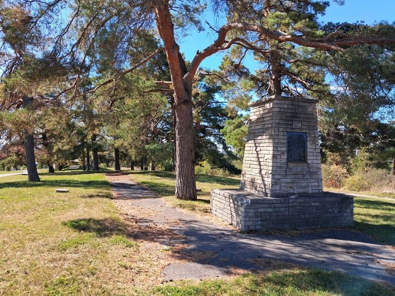
2. Ashburnham Memorial Park and Monument
Credits. This page was last revised on October 28, 2026. It was originally submitted on October 28, 2026, by William Fischer, Jr. of Reynoldsburg, Ohio. This page has been viewed 7 times since then. Photos: 1, 2. submitted on October 28, 2026, by William Fischer, Jr. of Reynoldsburg, Ohio.
