Havelock-Belmont-Methuen in Peterborough County, Ontario — Central Canada (North America)
Seabrook Historical Monument
A Legacy Carved in Stone
Photographed by William Fischer, Jr., October 9, 2026
1. Seabrook Historical Monument Marker
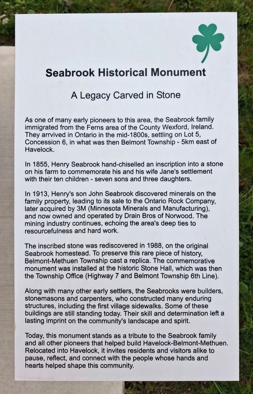
As one of many early pioneers to this area, the Seabrook family immigrated from the Ferns area of the County Wexford, Ireland. They arrvived in Ontario in the mid-1800s, settling on Lot 5, Concession 6, in what was then Belmont Township - 5km east of Havelock.
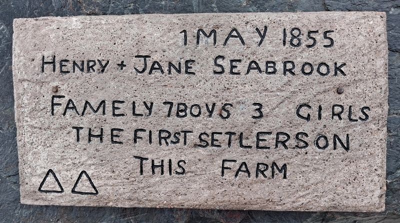
In 1855, Henry Seabrook hand-chiselled an inscription into a stone on his farm to commemorate his and his wife Jane's settlement with their ten children - seven sons and three daughters.
In 1913, Henry's son John Seabrook discovered minerals on the family property, leading to its sale to the Ontario Rock Company, later acquired by 3M (Minnesota Minerals [sic - Mining] and Manufacturing), and now owned and operated by Drain Bros of Norwood. The mining industry continues, echoing the area's deep ties to resourcefulness and hard work.
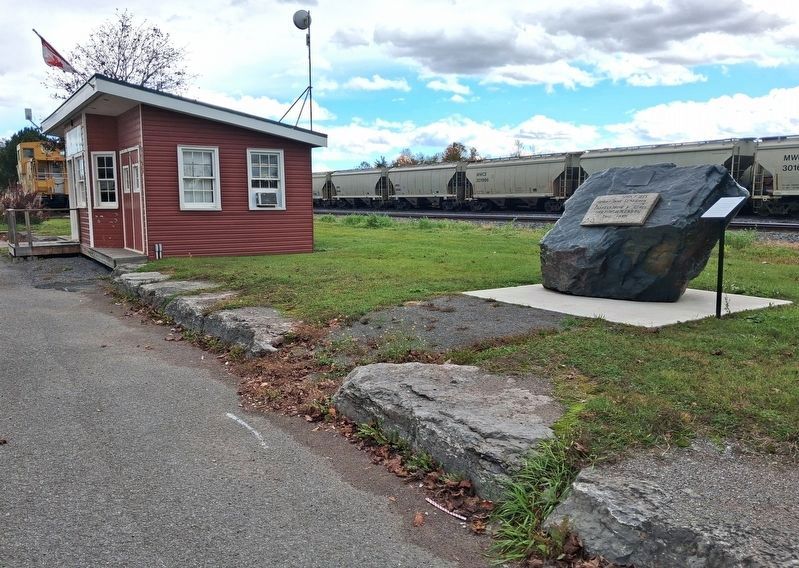
The inscribed stone was rediscovered in 1988, on the original Seabrook homestead. To preserve this rare piece of history, Belmont-Methuen Township cast a replica. The commemorative monument was installed at the historic Stone Hall, which was then the Township Office (Highway 7 and Belmont Township 6th Line).
Along with many other early settlers, the Seabrooks were builders, stonemasons and carpenters, who constructed many enduring structures, including the first village sidewalks. Some of these buildings are still standing today. Their skill and determination left a lasting imprint on the community's landscape and spirit.
Today, this monument stands as a tribute to the Seabrook family and all other pioneers that helped build Havelock-Belmont-Methuen. Relocated into Havelock, it invites residents and visitors alike to pause, reflect, and connect with the people whose hands and hearts helped shape this community.
————————————
1 May 1855
Henry + James Seabrook
Famely 7 Boys 3 Girls
The first
this page online
this farm
————————————
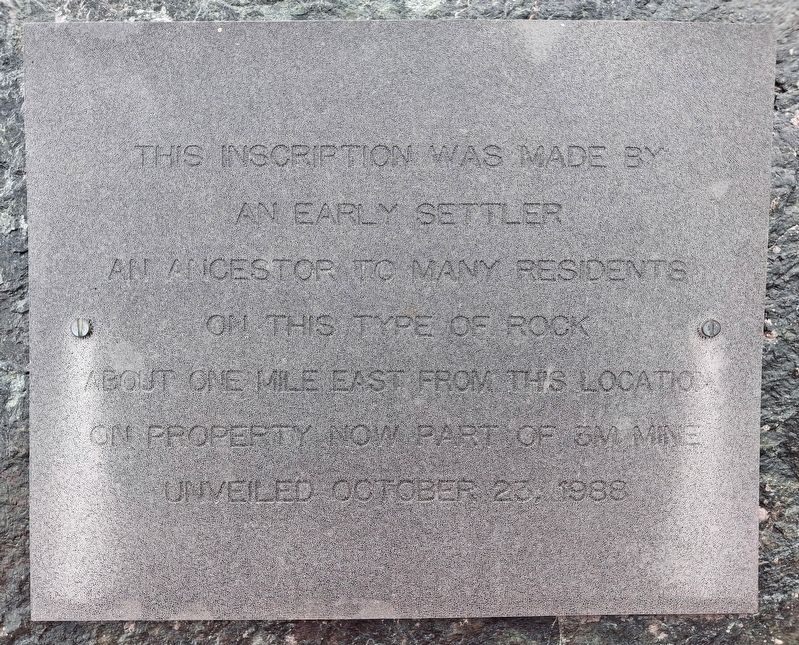
This inscription was made by
an early settler
an ancestor to many residents
on this type of rock
about one mile east from this location
on property now part of 3M Mine
Unveiled October 23, 1988
Erected by Havelock-Belmont-Methuen.
Topics. This historical marker and monument is listed in these topic lists: Agriculture • Immigration • Industry & Commerce • Settlements & Settlers. A significant historical date for this entry is May 1, 1855.
Location. 44° 25.977′ N, 77° 53.253′ W. Marker is in Havelock-Belmont-Methuen, Ontario, in Peterborough County. It is at the intersection of Ottawa Street West (National Highway 7) and Quebec Street, on the left when traveling west on Ottawa Street West. Markers are adjacent to the Havelock Chamber of Commerce's seasonal tourist office along the Trans-Canada Highway. Touch for map. Marker is in this post office area: Havelock-Belmont-Methuen ON K0L 1Z0, Canada. Touch for directions.

Regionally, this marker and monument is in the Kawarthas Northumberland Area and in Eastern Ontario. It is also in Central Canada. Globally, it is in North
Photographed by William Fischer, Jr., October 9, 2026
2. Seabrook Family Replica Inscription
Other nearby markers. At least 8 other markers are within 18 kilometers of this marker, measured as the crow flies: Township of Havelock-Belmont-Methuen (about 180 meters away, measured in a direct line); World Wars Memorial (approx. 9.3 kilometers away); Hastings Cenotaph (approx. 14.8 kilometers away); The Founding of Hastings (approx. 15.1 kilometers away); Founders of Campbellford (approx. 15.4 kilometers away); Trent-Severn Waterway National Historic Site of Canada (approx. 15.5 kilometers away); Old Mill Park (approx. 15.6 kilometers away); a different marker also named World Wars Memorial (approx. 17 kilometers away).
Photographed by William Fischer, Jr., October 9, 2026
3. Seabrook Historical Monument Marker
Photographed by William Fischer, Jr., October 9, 2026
4. Seabrook Historical Monument and Markers
Credits. This page was last revised on October 28, 2026. It was originally submitted on October 28, 2026, by William Fischer, Jr. of Reynoldsburg, Ohio. This page has been viewed 11 times since then. Photos: 1, 2, 3, 4. submitted on October 28, 2026, by William Fischer, Jr. of Reynoldsburg, Ohio.
