Pickwick Dam in Hardin County, Tennessee — The American South (East South Central)
Pickwick Landing Dam
Photographed by Bradley Owen, October 29, 2026
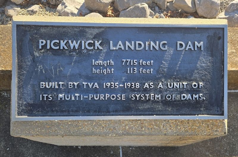
1. Pickwick Landing Dam Marker
height 113 feet
Built by TVA 1935-1938 as a unit of its multi-purpose system of dams.
Topics. This historical marker is listed in these topic lists: Charity & Public Work • Man-Made Features • Waterways & Vessels. A significant historical year for this entry is 1935.
Location. 35° 4.388′ N, 88° 15.037′ W. Marker is in Pickwick Dam, Tennessee, in Hardin County. It is on Power Lane 0.3 miles south of Tennessee Route 128, on the left when traveling east. Marker is located on the north side of Pickwick Landing Dam. Touch for map. Marker is at or near this postal address: 350 Power Lane, Pickwick Dam TN 38365, United States of America. Touch for directions.

Regionally, this marker is in West Tennessee. It is also in the American South and specifically in the Upper South. Globally, it is in North America, the Western Hemisphere, the Western World, and the Anglosphere. Historically, it finds itself in what was once the territory of the Mississippian Culture, one of the Confederate States of America, and the Antebellum South.
Other nearby markers. At least 8 other markers are within 6
this page online
Also see . . . Pickwick Landing - Tennessee Valley Authority.
Pickwick Landing Dam is a significant producer of hydroelectric power. It has six generating units with a net dependable capacity of 247 megawatts. The dam has two locks: One measures 110-by-600 feet and the other 110-by-1,000 feet.(Submitted on October 29, 2026, by Bradley Owen of Morgantown, West Virginia.)
Photographed by Bradley Owen, October 29, 2026
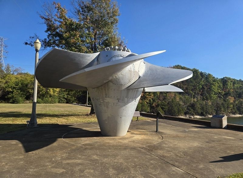
2. Pickwick Landing Dam Marker
Marker is located at the far right of the photo.
Photographed by Bradley Owen, October 29, 2026
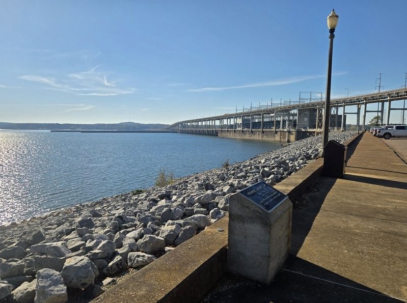
3. Pickwick Landing Dam Marker
The dam is in the background.
Photographed by Bradley Owen, October 29, 2026
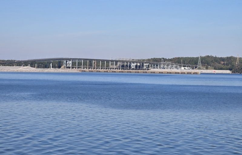
4. Pickwick Landing Dam
Viewed from the south side of the Tennessee River.
Credits. This page was last revised on October 29, 2026. It was originally submitted on October 29, 2026, by Bradley Owen of Morgantown, West Virginia. This page has been viewed 19 times since then. Photos: 1, 2, 3, 4. submitted on October 29, 2026, by Bradley Owen of Morgantown, West Virginia.
