Conneaut Lake in Crawford County, Pennsylvania — The American Northeast (Mid-Atlantic)
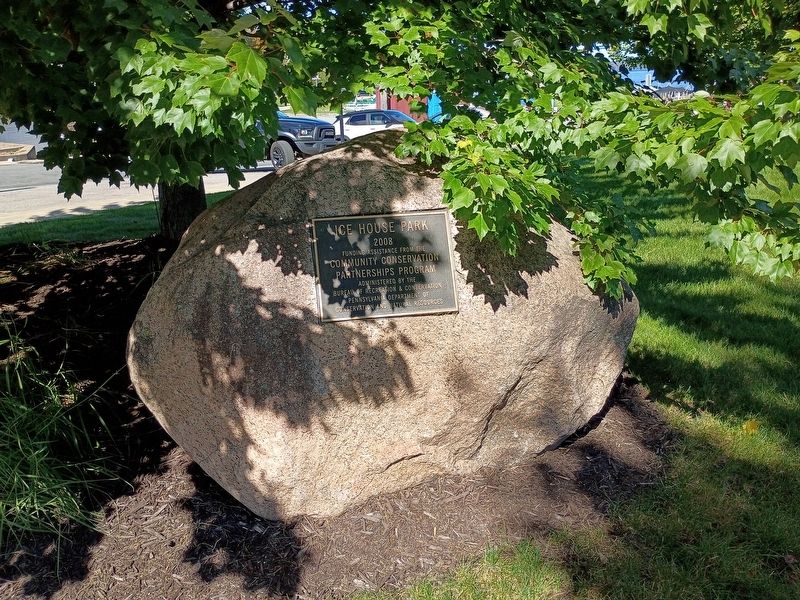
Ice House Park
2008
Photographed by Craig Doda, October 3, 2026
1. Ice House Park Marker
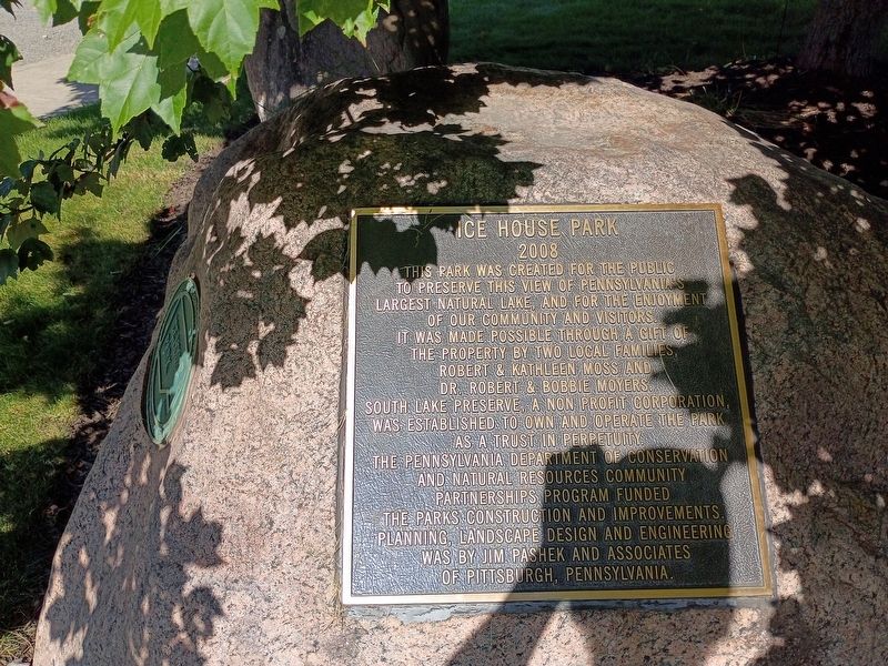
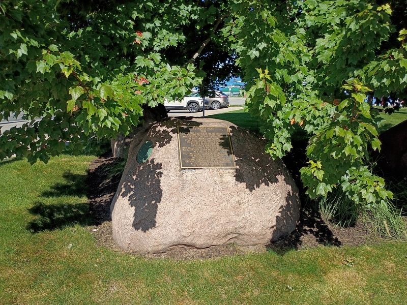
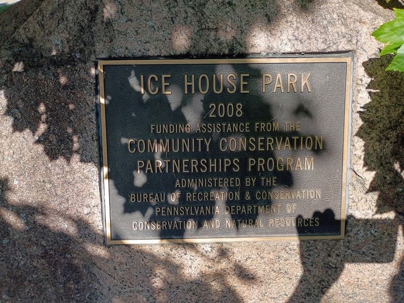
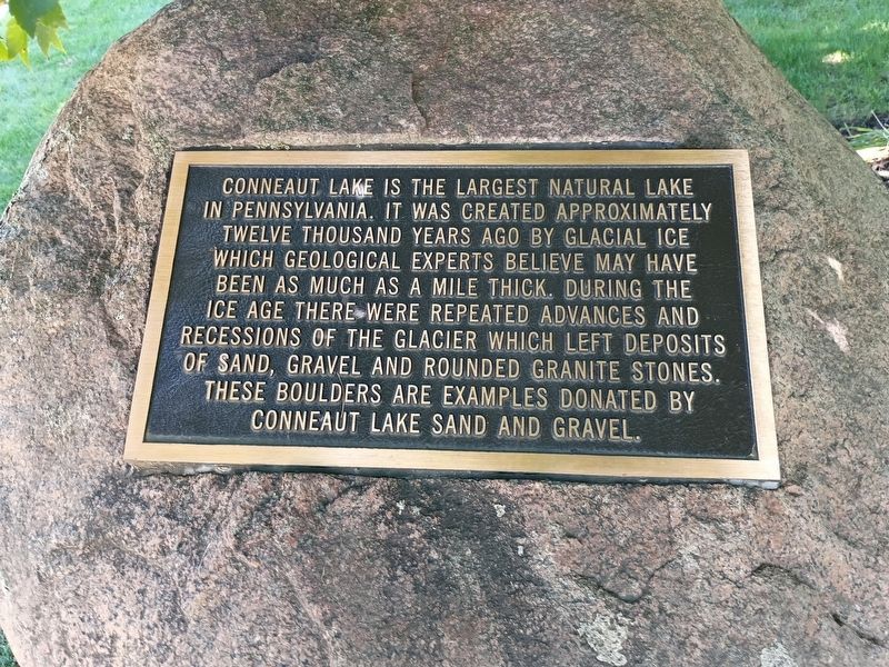
This park was created for the public to preserve this view of Pennsylvania's largest natural lake, and for the enjoyment of our community and visitors. It was made possible through a gift of the property by two local families, Robert & Kathleen Moss and Dr. Robert & Bobbie Moyers. South Lake Preserve, a non profit corporation, was established to own and operate the park as a trust in perpetuity. The Pennsylvania Department of Conservation and Natural Resources Community Partnerships Program funded the parks construction and improvements. Planning, landscape design and engineering was by Jim Pashek and associates of Pittsburgh, Pennsylvania.
Topics. This historical marker is listed in these topic lists: Natural Features • Parks & Recreational Areas. A significant historical year for this entry is 2008.
Location. 41° 36.202′ N, 80° 18.07′ W. Marker is in Conneaut Lake, Pennsylvania, in Crawford County. It is at the intersection of Water Street and North 1st Street, on the right when traveling west on Water Street. Touch for map. Marker is at or near this postal address: 85 Water St, Conneaut Lake PA 16316, United States
this page online

Regionally, this marker is in Northwestern Pennsylvania and in Greater Erie. It is also in the American Northeast, in the Mid-Atlantic, in Appalachia, and specifically in Northern Appalachia. Globally, it is in North America, the Western Hemisphere, the Western World, and the Anglosphere. Historically, it finds itself in what was once the Haudenosaunee (Iroquois) Confederacy and also one of the original Thirteen Colonies.
Other nearby markers. At least 8 other markers are within 5 miles of this marker, measured as the crow flies: The Ice Industry and the Ice Houses (within shouting distance of this marker); Geology (within shouting distance of this marker); The Railroads (within shouting distance of this marker); William S. Dietrich II (about 300 feet away, measured in a direct line); To the Memory of the Brave (about 300 feet away); This Tablet (about 500 feet away); This Carousel (approx. 2.3 miles away); Erie Extension Canal (approx. 4.3 miles away). Touch for a list and map of all markers in Conneaut Lake.
Other markers no longer nearby. Conneaut Reservoir (was approx. half a mile
Photographed by Craig Doda, October 3, 2026
2. Ice House Park Marker
Photographed by Craig Doda, October 3, 2026
3. Ice House Park Marker
Photographed by Craig Doda, October 3, 2026
4. Ice House Park Marker
Photographed by Craig Doda, October 3, 2026
5. Ice House Park Marker
Photographed by Craig Doda, October 3, 2026
6. Ice House Park Marker
Credits. This page was last revised on November 5, 2026. It was originally submitted on October 30, 2026, by Craig Doda of Napoleon, Ohio. This page has been viewed 8 times since then. Photos: 1, 2, 3, 4, 5, 6. submitted on October 30, 2026, by Craig Doda of Napoleon, Ohio. • Devry Becker Jones was the editor who published this page.
