Annapolis in Anne Arundel County, Maryland — The American Northeast (Mid-Atlantic)
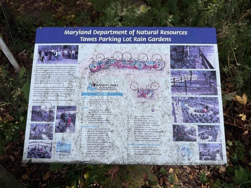
Maryland Department of Natural Resources Tawes Parking Lot Rain Gardens
Photographed by Devry Becker Jones (CC0), October 31, 2026
1. Maryland Department of Natural Resources Tawes Parking Lot Rain Gardens Marker
At the forefront of rain garden installation, two Tawes Parking Lot Rain Gardens at the Maryland Deparmtent of Natural Resources (DNR) were originally installed in 1998. a leader and proponent of implementing natural filters which reduce stormwater runoff and their associated pollutants, DNR installed the rain gardens to evaluate the effectiveness of stromwater bioretention management, and to improve the water quality of nearby College Creek. The rain gardens, aka bioretention cells, treat runoff from 55 percent of the drainage area of the parking lot.
Although functional rain gardens became overgrown with invasive species over the last several years. To demonstrate both the beauty and functionality of these systems, the rain gardens received a major overhaul in the the spring of 2012 with the help of DNR volunteers and numerous other volunteers.
Rain garden designs are by landsdcape architect Anne Guillette, Low Impact Design Studio.
Erected by Maryland Department of Natural Resources.
Topics. This historical marker is listed in these topic lists: Architecture • Environment • Horticulture & Forestry
this page online
Location. 38° 59.069′ N, 76° 30.217′ W. Marker is in Annapolis, Maryland, in Anne Arundel County. It is on Herbert M Sachs Drive east of Taylor Avenue (Maryland Route 435), on the right when traveling east. Touch for map. Marker is at or near this postal address: 7186 Heritage Xing, Glen Burnie MD 21060, United States of America. Touch for directions.

Regionally, this marker is in the Baltimore Metro Region. It is also in the American Mid-Atlantic and on the Eastern Seaboard. Globally, it is in the North Atlantic Region, North America, the Western Hemisphere, the Western World, and the Anglosphere. Historically, it finds itself in what was once one of the original Thirteen Colonies and also the Antebellum South.
Other nearby markers. At least 8 other markers are within walking distance of this marker: Mahoning Sandstone (about 400 feet away, measured in a direct line); The Helen Avalynne Tawes Garden (about 400 feet away); Taste (about 400 feet away); Navy-Marine Corps Memorial Stadium (about 600 feet away); Tulip Poplar (about 600 feet away);
Photographed by Devry Becker Jones (CC0), October 31, 2026
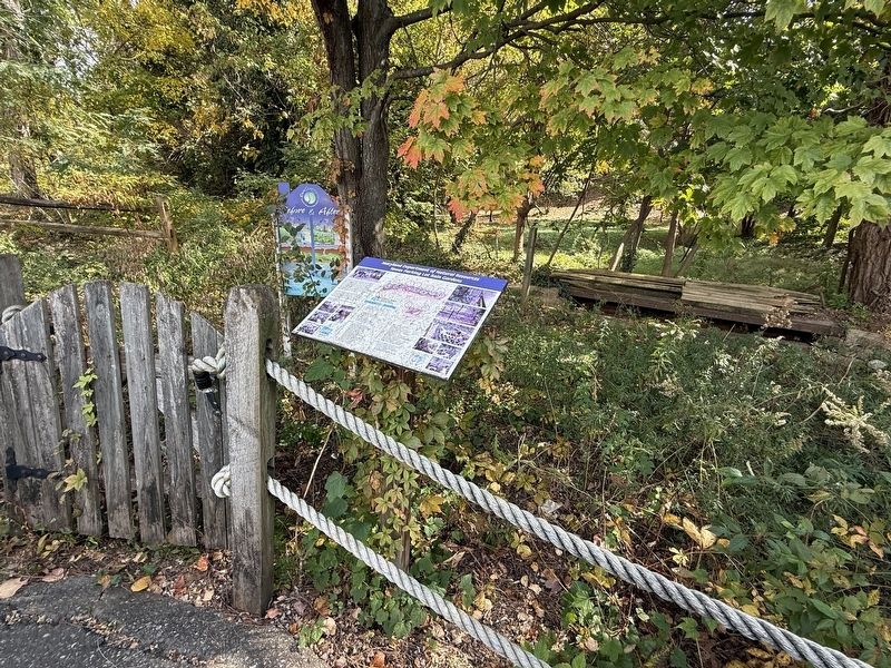
2. Maryland Department of Natural Resources Tawes Parking Lot Rain Gardens Marker
Credits. This page was last revised on November 1, 2026. It was originally submitted on November 1, 2026, by Devry Becker Jones of Washington, District of Columbia. This page has been viewed 7 times since then. Photos: 1, 2. submitted on November 1, 2026, by Devry Becker Jones of Washington, District of Columbia.
