Edisto Island in Colleton County, South Carolina — The American South (South Atlantic)
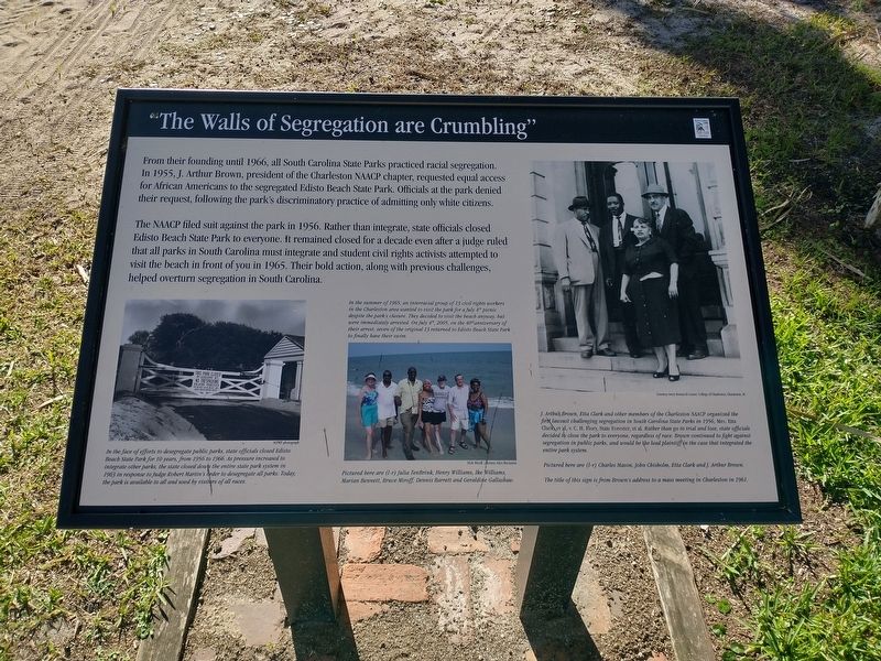
"The Walls of Segregation are Crumbling"
Photographed by Tom Bosse, October 26, 2026
1. "The Walls of Segregation are Crumbling" Marker
The NAACP filed suit against the park in 1956. Rather than integrate, state officials closed Edisto Beach State Park to everyone. It remained closed for a decade even after a judge ruled that all parks in South Carolina must integrate and student civil rights activist attempted to visit the beach in front of you in 1965. Their bold action, along with previous challenges, helped overturn segregation in South Carolina.
(captions)
In the face of efforts to desegregate public parks, state officials closed Edisto Beach State Park for 10 years, from 1956 to 1965. As pressure increased to integrate other parks, the state closed down the entire state park system in 1963 in response to Judge Robert Martin's order to desegregate all parks. Today the park is available to all and used by visitors of all races. SCPRT photograpgh
In the summer of 1965, an interracial group of 13 civil rights workers in the Charleston area wanted to visit the park for a July 4th picnic despite the park's closure. They decided to visit the beach anyway, but were immediately arrested. On July 4th, 2005, on the 40th anniversary of their arrest, seven of the original 13 returned to Edisto Beach State Park to finally have their swim.
Pictured here are (l-r) Julia TenBrink, Henry Williams, Ike Williams, Marian Bennett, Bruce Miroff, Dennis Barrett and Geraldine Gallashaw. Nick Miroff, courtesy Alice Bernstein
J. Arthur Brown, Etta Clark and other members of the Charleston NAACP organized the first lawsuit challenging segregation in South Carolina State Parks in 1956, Mrs. Etta Clark, et al, v. C.H. Flory, State Forester, et al. Rather than go to trial and lose, state officials decided to close the park to everyone, regardless of race. Brown continued to fight against segregation in public parks, and would be the lead plaintiff in the case that integrated the entire park system. Courtesy Avery Research center, College of Charleston, Charleston, SC
Pictured here are (l-r) Charles Mason, John Chisholm, Etta Clark and J. Arthur Brown.
The title of this sign is from Brown's address to a mass meeting in Charleston in 1961.
Erected by South
this page online
Topics. This historical marker is listed in these topic lists: African Americans • Civil Rights • Parks & Recreational Areas. A significant historical date for this entry is July 4, 1965.
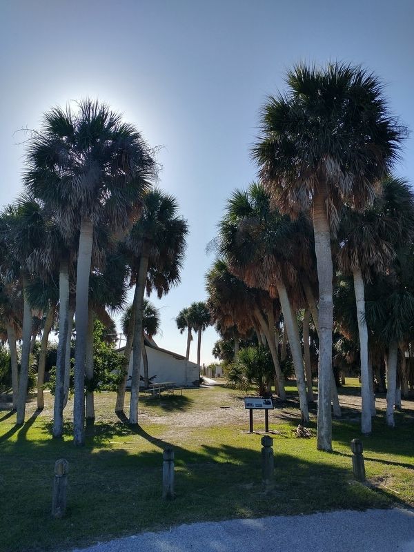
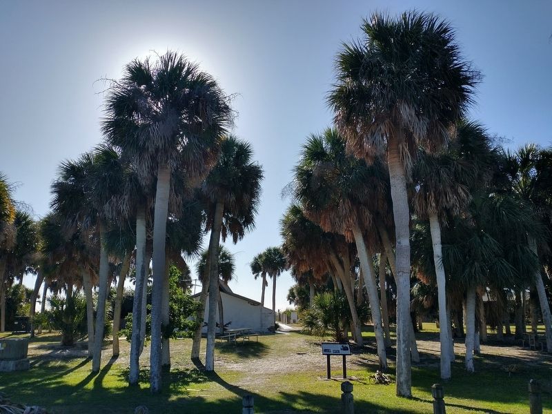
Location. 32° 30.265′ N, 80° 17.745′ W. Marker is on Edisto Island, South Carolina, in Colleton County. It can be reached from Palmetto Boulevard (South Carolina Route 174) south of Jungle Road, on the right when traveling north. Marker is located at Edisto Beach State Park. Touch for map. Marker is at or near this postal address: 104 Palmetto Blvd, Edisto Island SC 29438, United States of America. Touch for directions.

Regionally, this marker is in the Lowcountry, in the Ashepoo and Combahee and Edisto Basin. It is also in the American South, specifically in the Deep South, and on the Eastern Seaboard. Globally, it is in the North Atlantic Region, North America, the Western Hemisphere, the Western World, and the Anglosphere. Historically, it finds itself in what was once New Spain, the territory of the Mississippian Culture, one of the original Thirteen Colonies, one of the Confederate States of America,
Photographed by Tom Bosse, October 26, 2026
2. "The Walls of Segregation are Crumbling" Marker
Other nearby markers. At least 8 other markers are within 5 miles of this marker, measured as the crow flies: The CCC: Building Parks for America (about 400 feet away, measured in a direct line); Coastal Heritage Under Threat (approx. 0.8 miles away); Bache's Bar of Invariable Length (approx. 1.7 miles away); How to Measure the World, and Why (approx. 1.7 miles away); The Struggle for a Long Straight Line (approx. 1.8 miles away); Markers in the Woods (approx. 1.8 miles away); Edisto Island Baptist Church (approx. 4.8 miles away); Hephzibah J. Townsend (approx. 4.8 miles away). Touch for a list and map of all markers in Edisto Island.
Photographed by Tom Bosse, October 26, 2026
3. "The Walls of Segregation are Crumbling" Marker
Credits. This page was last revised on November 7, 2026. It was originally submitted on November 2, 2026, by Tom Bosse of Jefferson City, Tennessee. This page has been viewed 7 times since then. Photos: 1, 2, 3. submitted on November 2, 2026, by Tom Bosse of Jefferson City, Tennessee. • Bernard Fisher was the editor who published this page.
