Crofton in Knox County, Nebraska — The American Midwest (Upper Plains)
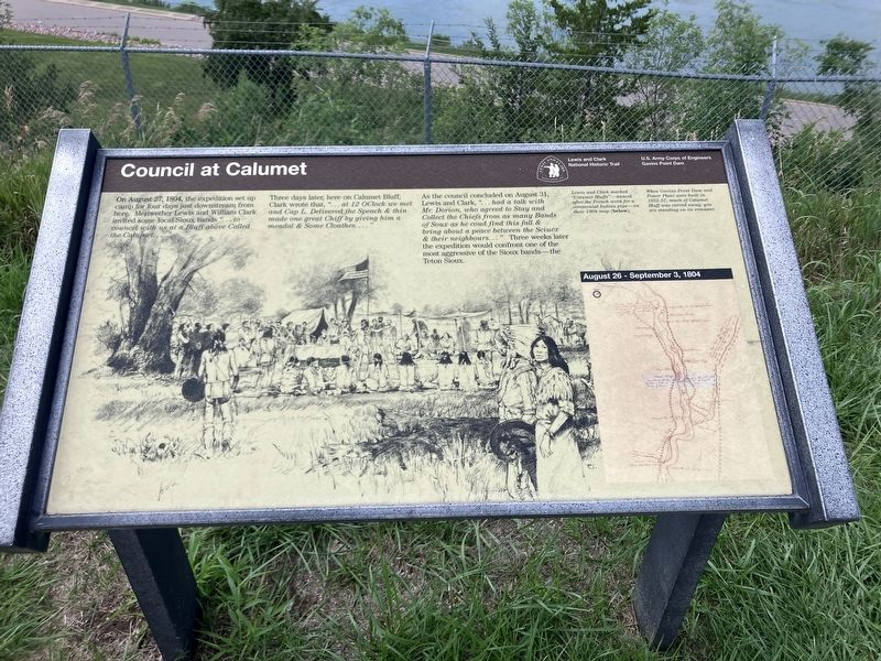
Council at Calumet
Photographed by Barry Swackhamer, July 17, 2025
1. Council at Calumet Marker
Three days later, here on Calumet Bluff, Clark wrote that ...at 12 OClock we met and Cap. L. Delivered the Speach & then made one great Chiff by giving him a meadal & Some Cloathes..."
As the council concluded on August 31, Lewis and Clark "... had a talk with Mr. Dorion, who agreed to Stay and Collect the Chiefs from as many Bands of Sioux as he coud find this fall & bring about a peace between the Sciuex & their neighbours..." Three weeks later the expedition would confront one of the most aggressive of the Sioux bands - the Teton Sioux.
Lewis and Clark marked "Calumet Bluffs" - named after the French word for a ceremonial Indian pipe - on their 1804 map (below)
When Gavins Point Dam and Power Plant were built in 1952-57, much of Calumet Bluff was carved away; as you are standing on its remnant.
Erected by Lewis and Clark National Trail; U.S. Army Corps of Engineers, Gavins Point Dam.
Topics.
this page online
Location. 42° 50.942′ N, 97° 28.649′ W. Marker is in Crofton, Nebraska, in Knox County. It can be reached from State Highway 121 near Powerpland Road, on the left when traveling west. The marker is located at the overlook near the Lewis and Clark Visitors Center. Touch for map. Marker is at or near this postal address: 55245 Nebraska Highway 121, Crofton NE 68730, United States of America. Touch for directions.

Regionally, this marker is in Eastern Nebraska and in the Niobrara Valley. It is also in the American Midwest, in the Corn Belt, and on the prairies. Globally, it is in North America, the Western Hemisphere, the Western World, and the Anglosphere. Historically, it finds itself in what was once the Louisiana Purchase.
Other nearby markers. At least 8 other markers are within 4 miles of this marker, measured as the crow flies: The Lewis & Clark Expedition (here, next to this marker); Up the Missouri (here, next to this marker); Gavins Point Dam and Powerplant
Photographed by Barry Swackhamer, July 17, 2025
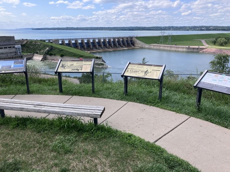
2. Council at Calumet Marker
The marker is second from the left.
Also see . . . Pierre Dorion Js. -- Grokipedia. "Pierre Dorion Jr. (c. 1780–1814) was a Métis fur trader, trapper, and interpreter of French-Canadian and Yankton Sioux ancestry who contributed significantly to early 19th-century intercultural exchanges and exploration in the American Midwest and Pacific Northwest." - Grokipedia
Senior or Junior, with or without a suffix, other than a hockey player of the same name, it appear that they are the same person. (Submitted on November 5, 2026, by Barry Swackhamer of Brentwood, California.)
Credits. This page was last revised on November 5, 2026. It was originally submitted on November 5, 2026, by Barry Swackhamer of Brentwood, California. This page has been viewed 4 times since then. Photos: 1, 2. submitted on November 5, 2026, by Barry Swackhamer of Brentwood, California.
