Near Crofton in Knox County, Nebraska — The American Midwest (Upper Plains)
Gavins Point Dam and Powerplant
Photographed by Barry Swackhamer, July 17, 2025
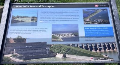
1. Gavins Point Dam and Powerplant Marker
The construction of Gavins Point Dam and Powerplant began in 1952 and was completed in 1957 at the cost of $51 million. The electricity generated at this powerplant is enough to provide for the daily power needs of 42,000 homes.
Water released from the dam provides for commercial navigation all the way to St. Louis, Missouri. As a bonus, the creation of Lewis & Clark Lake behind the dam results in ninety-miles of scenic shoreline, Nearly 2 million visitors come to Lewis & Clark Lake annually.
Visit the Lewis & Clark Visitor Center to learn more about resources and Gavins Point Dam
Erected by U.S. Army Corps of Engineers, Gavins Point
this page online
Topics. This historical marker is listed in these topic lists: Man-Made Features • Waterways & Vessels.
Location. 42° 50.942′ N, 97° 28.649′ W. Marker is near Crofton, Nebraska, in Knox County. It is on Powerplant Road (State Highway 121), on the left when traveling west. The marker is located at the overlook near the Lewis and Clark Visitors Center. Touch for map. Marker is at or near this postal address: 55245 Nebraska Highway 121, Crofton NE 68730, United States of America. Touch for directions.

Regionally, this marker is in Eastern Nebraska and in the Niobrara Valley. It is also in the American Midwest, in the Corn Belt, and on the prairies. Globally, it is in North America, the Western Hemisphere, the Western World, and the Anglosphere. Historically, it finds itself in what was once the Louisiana Purchase.
Other nearby markers. At least 8 other markers are within 4 miles of this marker, measured as the crow flies: The Lewis & Clark Expedition (here, next to this marker); Up the Missouri (here, next to this marker); Council at Calumet (here, next to this
Photographed by Barry Swackhamer, July 17, 2025
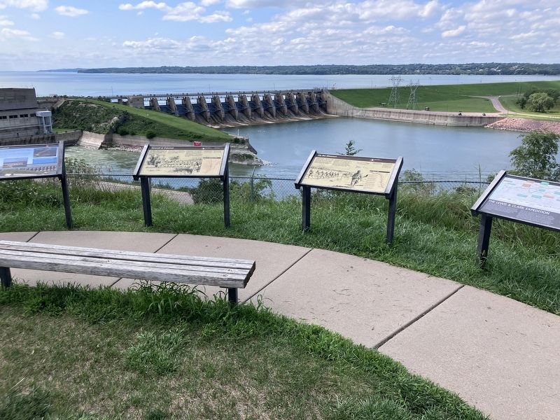
2. Gavins Point Dam and Powerplant Marker
The maeker is on the fae left.
Credits. This page was last revised on November 5, 2026. It was originally submitted on November 5, 2026, by Barry Swackhamer of Brentwood, California. This page has been viewed 3 times since then. Photos: 1, 2. submitted on November 5, 2026, by Barry Swackhamer of Brentwood, California.
