Wynot in Cedar County, Nebraska — The American Midwest (Upper Plains)
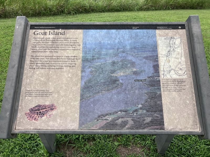
Goat Island
Photographed by Barry Swackhamer, July 17, 2025
1. Goat Island Marker
Caption: (lower left) A majestic cottonwood forest, open grassy glades, and lofty sand dunes make Goat Island a haven for bald eagles, great blue herons, frogs, and other wildlife.
The island first appeared on maps as a large sandbar in the late 1700s. Nebraskans and South Dakotans have long used this island as a treasured resource. In its nearly unspoiled state, it serves as a richly inspiring place where hiking, camping, fishing, hunting, and birding will remain welcome activities.
(side-bar on right)
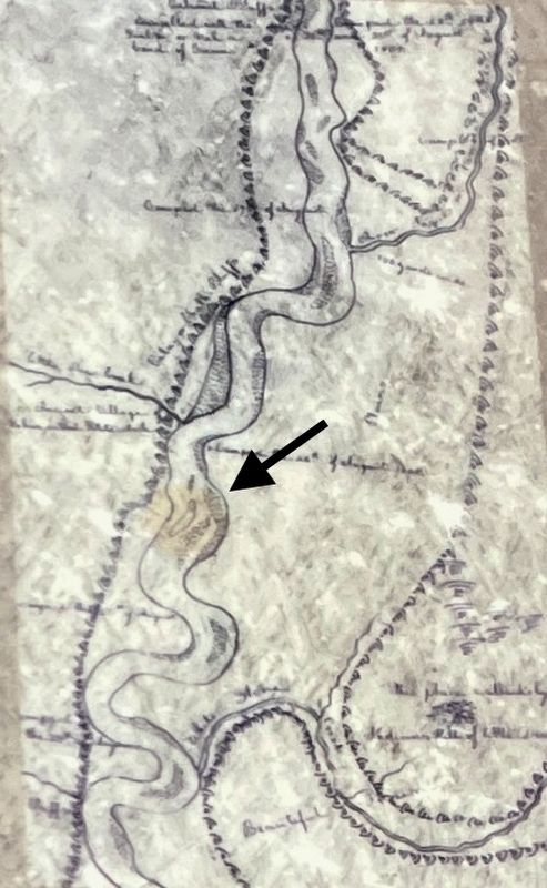
Lewis and Clark depicted the yet unnamed Goat Island (highlighted above) as a stabilized, island as did a succession of other surveyors throughout the 1800s. Earlier, fur-trade explorer John Evans had shown it as a sizable sandbar.
Erected by Missouri National Recreational River , National Park Service.
Topics. This historical marker is listed in these topic lists: Exploration • Natural Features • Waterways & Vessels.
Location. 42° 45.648′ N,
this page online

Regionally, this marker is in Eastern Nebraska. It is also in the American Midwest, in the Corn Belt, and on the prairies. Globally, it is in North America, the Western Hemisphere, the Western World, and the Anglosphere. Historically, it finds itself in what was once the Louisiana Purchase.
Other nearby markers. At least 8 other markers are within 6 miles of this marker, measured as the crow flies: Sculpting the Landscape (here, next to this marker); The Lewis & Clark Expedition (within shouting distance of this marker); Shannon's Ominous Disappearance (within shouting distance of this marker); Up The Missouri River (within shouting distance of this marker); This memorial is erected to the memory of the children of Pheobe, Ann and Henson Wiseman (approx. 0.8 miles away); Meckling & Lincoln (approx. 5.6 miles away
Photographed by Barry Swackhamer, July 17, 2025
2. William Clark's map showing Goat Island (unlabeled)
Photographed by Barry Swackhamer, July 17, 2025
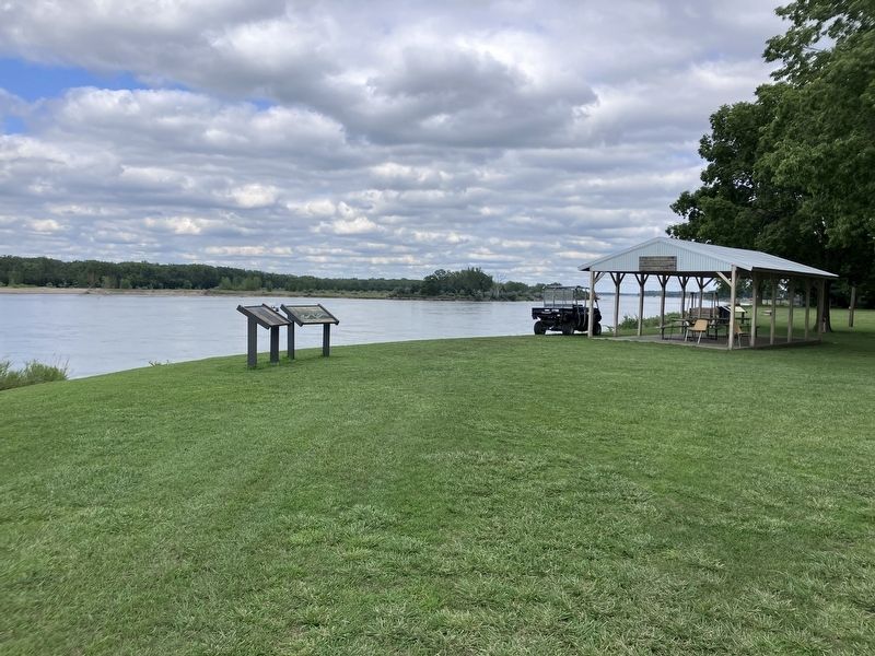
3. Goat Island Marker
Goat Island in the background.
Credits. This page was last revised on November 6, 2026. It was originally submitted on November 5, 2026, by Barry Swackhamer of Brentwood, California. This page has been viewed 9 times since then. Photos: 1, 2, 3. submitted on November 5, 2026, by Barry Swackhamer of Brentwood, California.
